
 Unknown (before 1880) on Wikimedia
California's Central Valley is famous for its enormous agricultural industry, producing everything from almonds and grapes to tomatoes and cotton. However, much of this productive farmland has a surprising history that many Americans know little about. Beneath portions of the modern agricultural landscape lies the former bed of Tulare Lake, once one of the largest freshwater lakes in the United States.
At its historical peak, Tulare Lake covered hundreds of square miles and supported a thriving ecosystem of fish, birds, and other wildlife. Yet by the late 19th century, the lake was largely disappearing as settlers redirected its water and converted the surrounding wetlands into farmland. Its transformation reveals how America's agricultural ambitions reshaped the natural environment, although the lake's occasional return suggests that nature hasn't entirely accepted the arrangement.
A Massive Lake Hidden in California's Central Valley
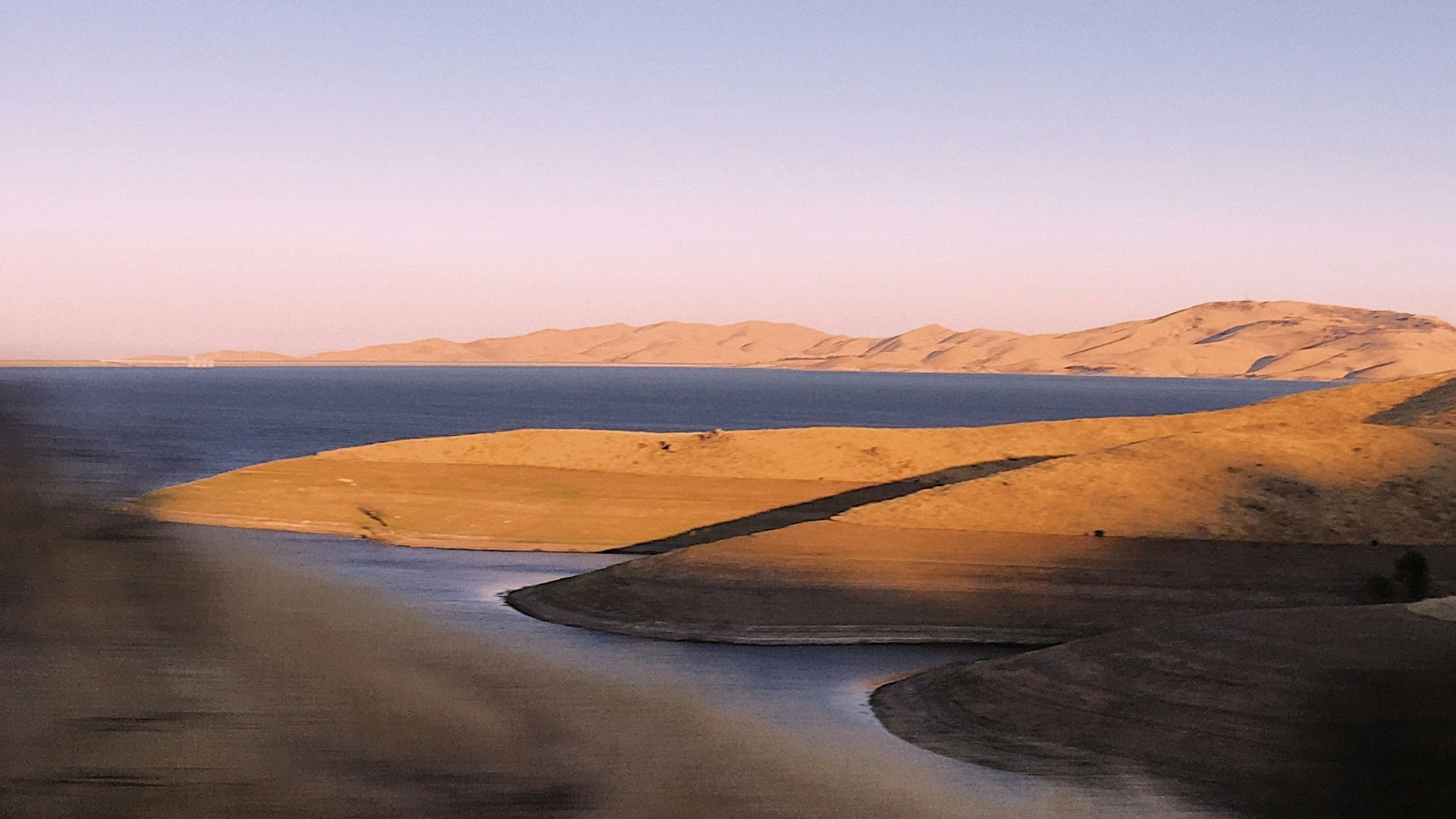
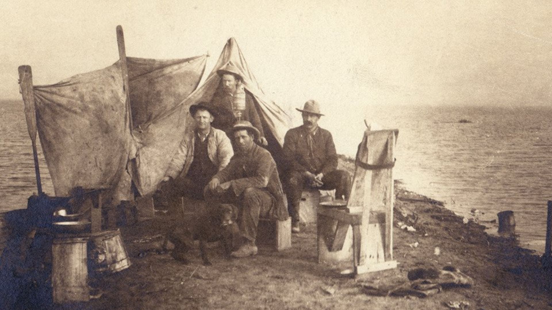
For much of its history, Tulare Lake covered much of the low-lying area of the lower San Joaquin Valley. Ranging up to about 800 square miles in wet years, fed by snowmelt and other runoff from the Sierra Nevada, it was one of the largest lakes entirely within US territory and has often been referred to as the ninth largest. It was very shallow compared to other lakes that most people would be accustomed to, extending over great areas of almost level plains.
All of the major rivers draining off the western slope of the southern Sierra Nevada fed into the lake: the Kings, Kaweah, Tule, and Kern. In times of heavy rainfall and snowmelt, the lake spread over large areas of the adjacent valley floor; in other years, the shores receded considerably.
Many Native Americans, principally the Tachi and other bands of Yokuts, lived around the lake and depended on its resources. As well as fishing, they hunted ducks and other fowl and used the abundant tule and other plant life around the margins. Clearly, these peoples were well acquainted with the annual variations in the size, depth, and extent of the lake. To a large extent, they lived in harmony with their surroundings, unlike later European arrivals, who saw mainly acres of potential cropland.
Obviously, given its size, the lake and associated marshes and channels were an important part of the central California ecosystem, notably as a resting place for many species of migrating birds. For thousands of years, the size and configuration of the lake changed year by year until the advent of widespread irrigation.
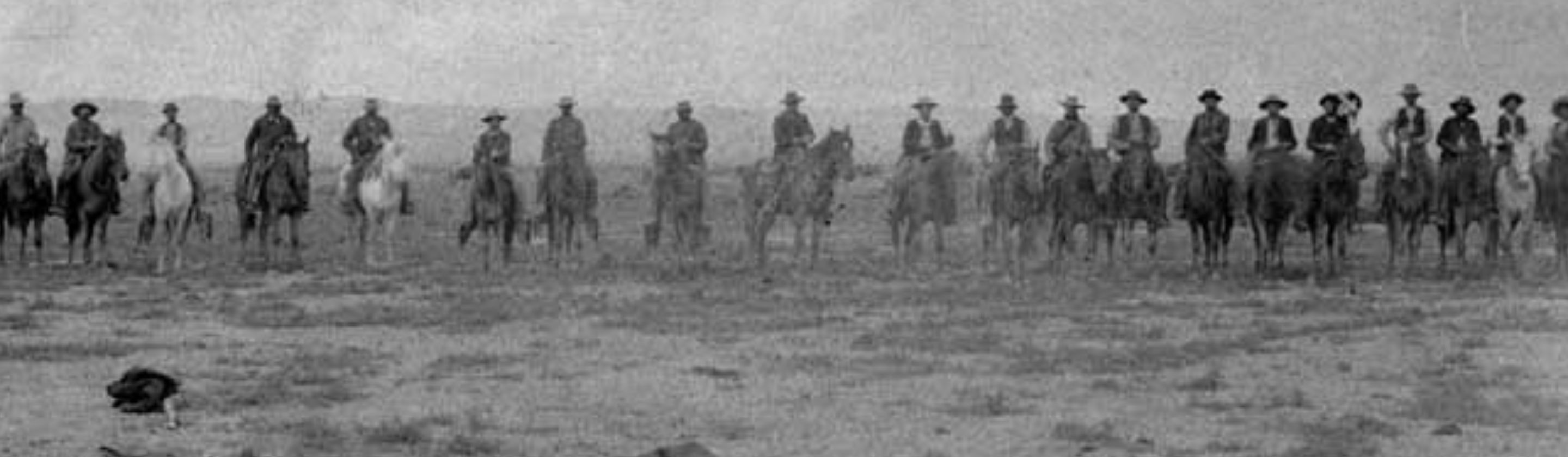
The disappearance of Tulare Lake wasn't the result of a single government decision or an enormous drainage project. Instead, it happened gradually as settlers began diverting rivers, constructing irrigation canals, and reclaiming wetlands for agricultural development during the 19th century. The Swamp Land Act of 1850 encouraged the conversion of wetland areas into economically productive property, accelerating changes across California's Central Valley.
With increased acreage under cultivation, more and more water was diverted to irrigation systems or held back behind levees and drains to keep out floodwaters. By 1899, the bed of Tulare Lake was described as being dry, with only intermittent inflows following exceptionally wet years.
Clearly, there was great incentive to develop the rich soils of this area to grow a variety of crops, including cotton, tomatoes, and grain. Much of this area would have been underwater for at least half the year if left undisturbed. Native Americans were deprived of fishing and other habitat areas, and a great deal of other wildlife also lost suitable habitat.
Of course, the drainage of a large lake would be expected to have far-reaching effects upon the natural hydrology of an area, many of which are still being dealt with today.
The Lake That Refuses to Stay Gone
Despite more than a century of agricultural development, Tulare Lake hasn't completely disappeared. The former lakebed remains a natural depression where water collects during unusually wet conditions, regardless of how extensively the surrounding landscape has been modified. Significant flooding has temporarily restored portions of the lake several times, including in 1969, 1983, and 1997.
The largest extent of water in recent years came after a very wet winter in 2023. Several atmospheric rivers brought heavy rain to northern and central California, as well as heavy snow to high elevations of the Sierra Nevada. Much of this snow melted and ran off, exceeding the capacity of flood-control works and inundating large areas of farmland, forming part of the old lake.
Clearly, large amounts of water caused considerable disruption to many farms, homes, and other infrastructure, highlighting some of the hazards of farming on the old lakebed. However, it was of great interest to many scientists, conservationists, and Native American groups. Most of this water had drained away or dried up by around June 2024, according to satellite imagery.
Tulare Lake's history raises important questions about how societies balance agricultural production, water management, and environmental conservation. Restoring the entire lake permanently would involve complicated decisions affecting farmland, communities, infrastructure, and regional water supplies. Nevertheless, its periodic reappearance offers an extraordinary reminder that landscapes retain their natural characteristics even after generations of human modification, and that understanding those characteristics remains essential for planning the future.