
Borders Don’t Always Move With Great Fanfare
Maps are often redrawn after wars, independence movements, and collapsing empires, but plenty of territorial changes happen through arbitration panels, land swaps, surveys, and quietly signed treaties. Some transferred only a few farms or uninhabited islands, while others eliminated enclaves that had complicated daily life for generations. These 20 changes may not dominate history lessons, yet each altered where one country ended and another began.
1. The India-Bangladesh Enclaves Disappeared
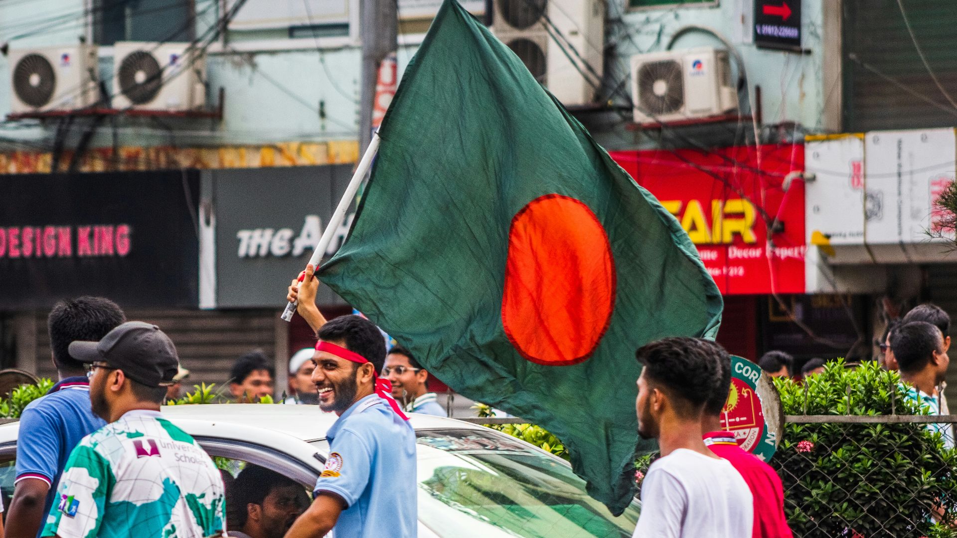
Until 2015, parts of the India-Bangladesh border contained more than 160 enclaves, including pieces of one country surrounded by the other. A long-delayed land boundary agreement allowed the two governments to exchange most of them and offer residents a choice of nationality.
2. Belgium And The Netherlands Followed The Meuse
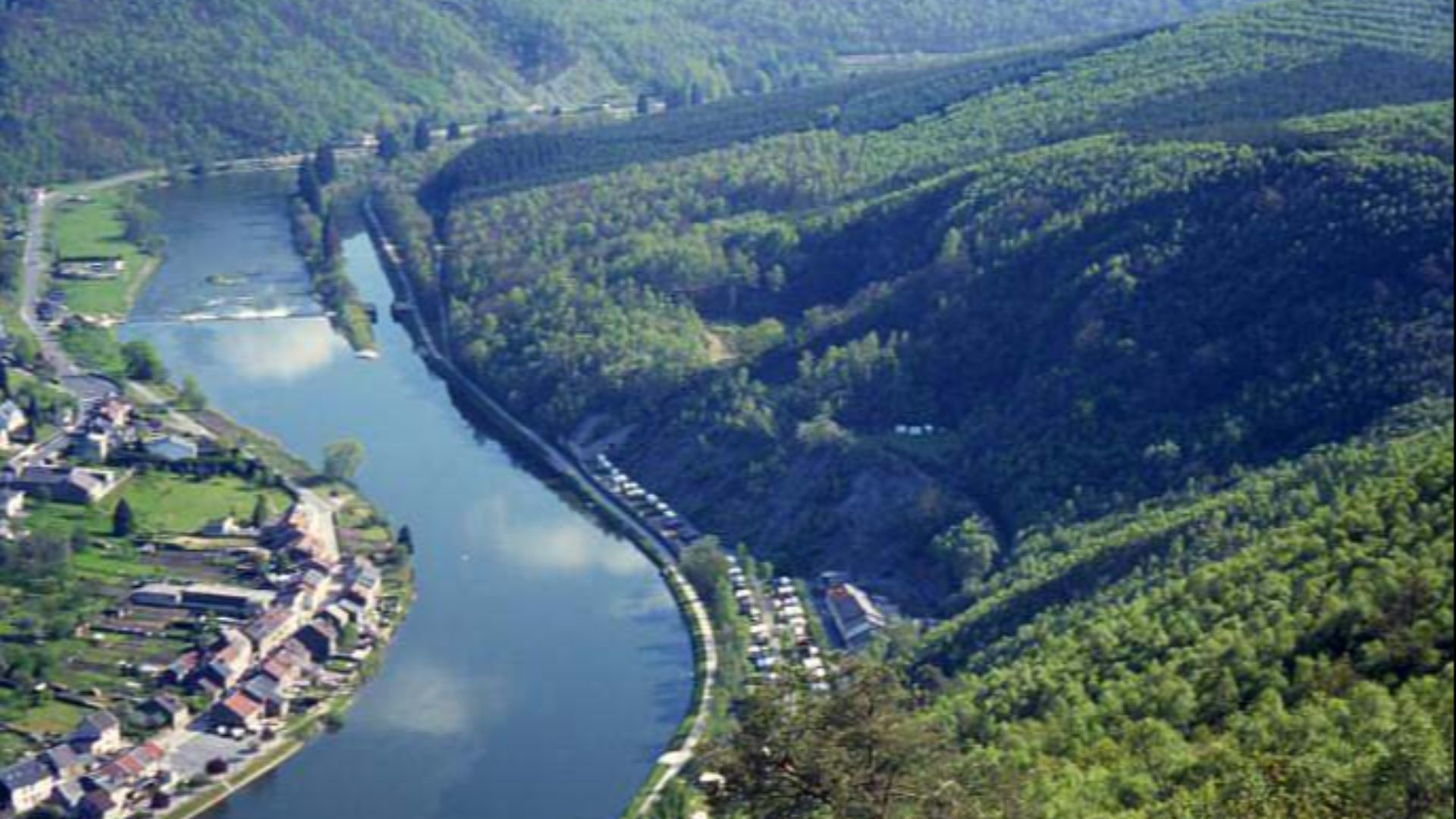
The Meuse River gradually shifted course between Belgium and the Netherlands, leaving small pieces of each country on the opposite bank. In 2016, the governments signed a treaty exchanging the isolated parcels so the border would once again follow the river.
3. Walvis Bay Joined Namibia
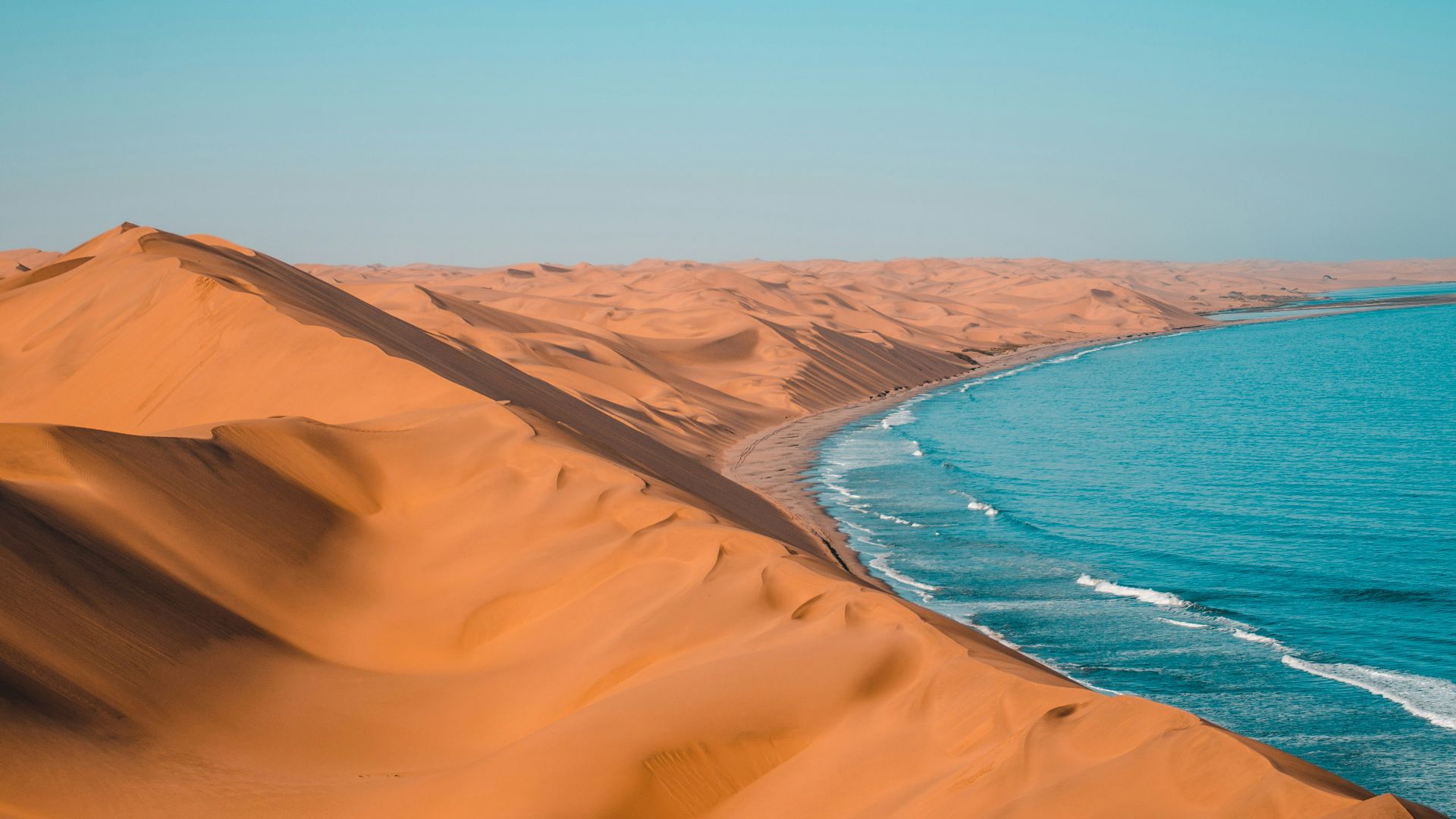
When Namibia became independent from South Africa in 1990, Walvis Bay remained under South African control. The valuable Atlantic port and several nearby islands were transferred to Namibia in 1994 after negotiations between the two governments.
4. Neutral Moresnet Vanished From Europe
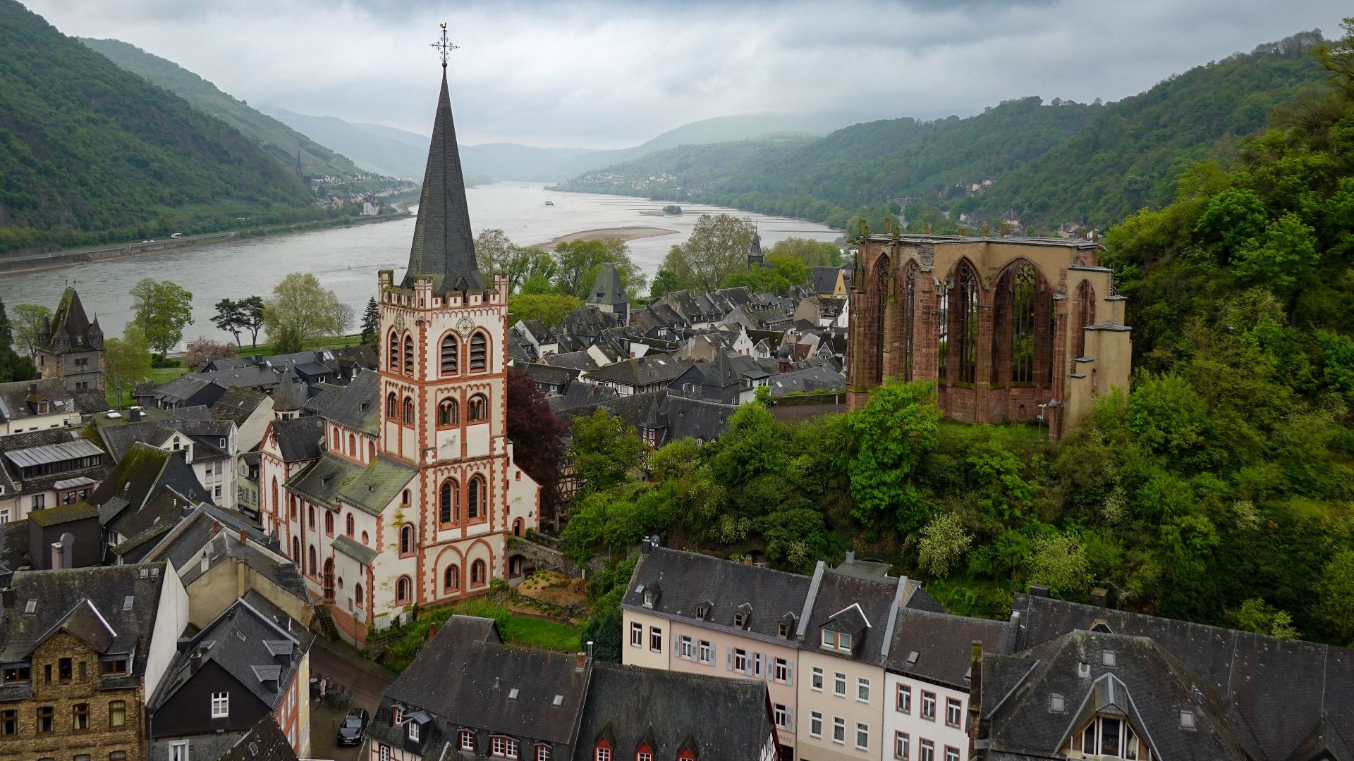
Neutral Moresnet was a tiny territory created after the Napoleonic Wars because Prussia and the Netherlands couldn’t agree over a valuable zinc mine. The Treaty of Versailles assigned it to Belgium after World War I, removing one of Europe’s strangest political arrangements.
5. The Vennbahn Created Belgian Pockets
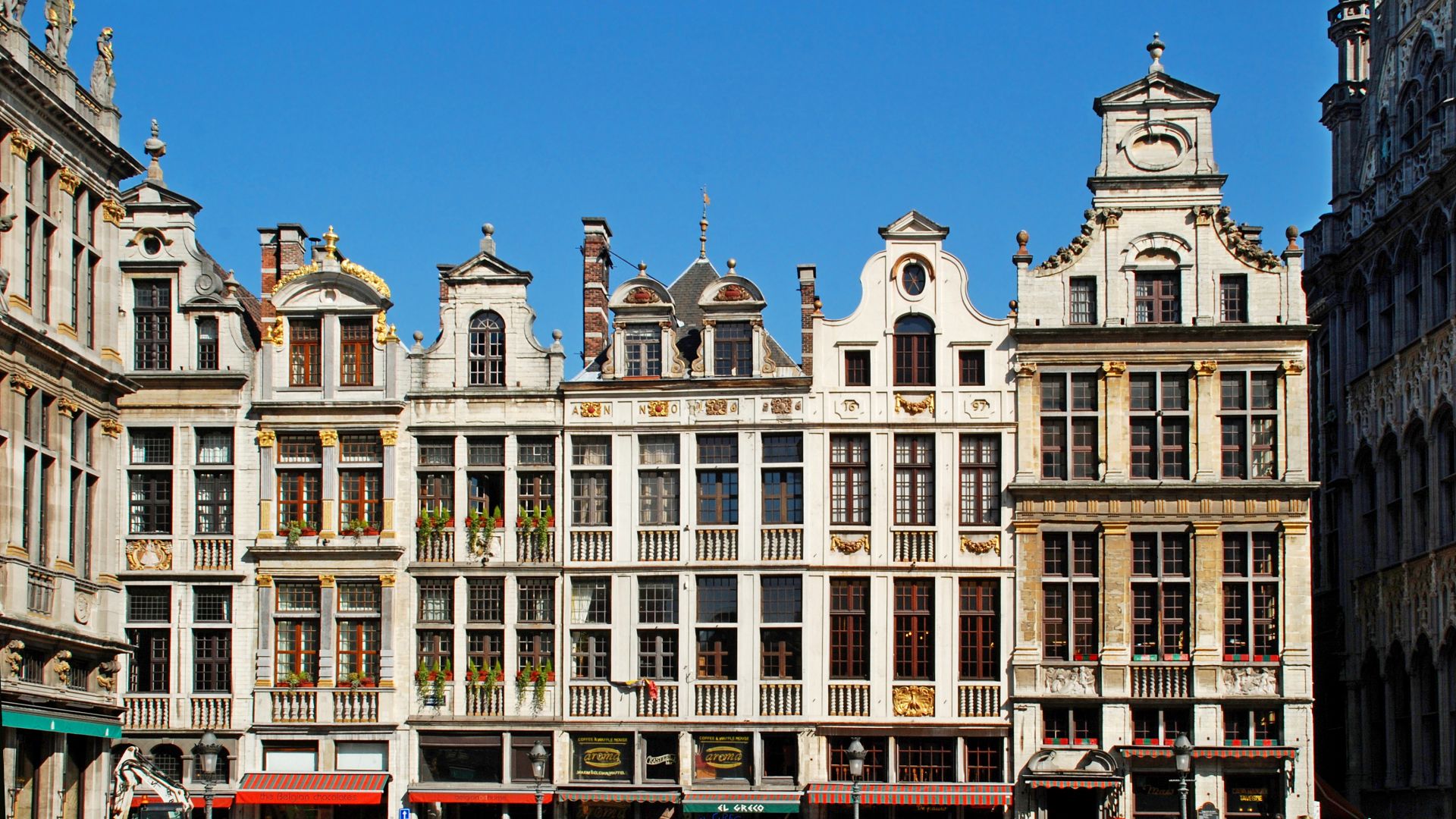
The Treaty of Versailles transferred the Vennbahn railway and its track bed from Germany to Belgium after World War I. Because the railway crossed through German territory, several small German areas west of the tracks became separated from the rest of the country.
6. Maine’s Northern Border Was Compromised
The United States and British North America disputed a large section of the Maine-New Brunswick boundary during the early 19th century. The Webster-Ashburton Treaty of 1842 divided the contested land, giving portions to both sides instead of awarding everything to one claimant.
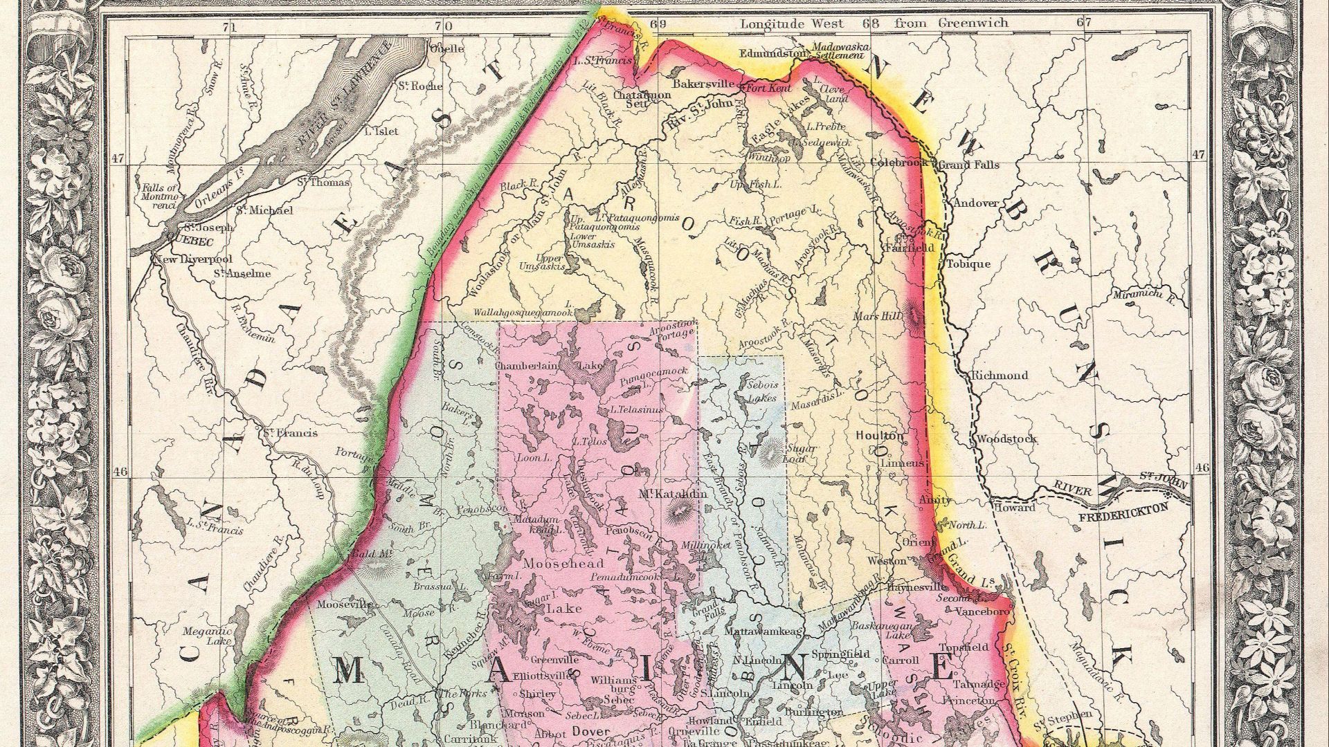 Samuel Augustus Mitchell on Wikimedia
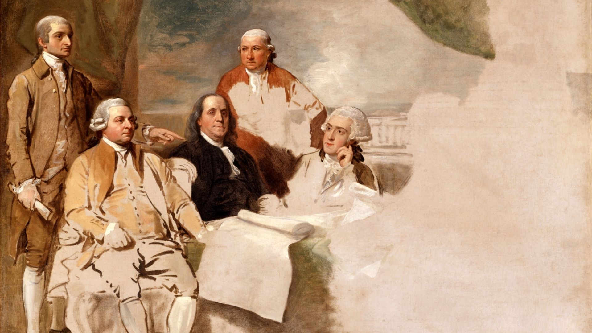
7. The Northwest Angle Became American
The 1783 Treaty of Paris attempted to define the United States’ northern border using maps that incorrectly described the source and shape of the Mississippi River. The result was Minnesota’s Northwest Angle, a piece of American territory connected by land only to Canada.
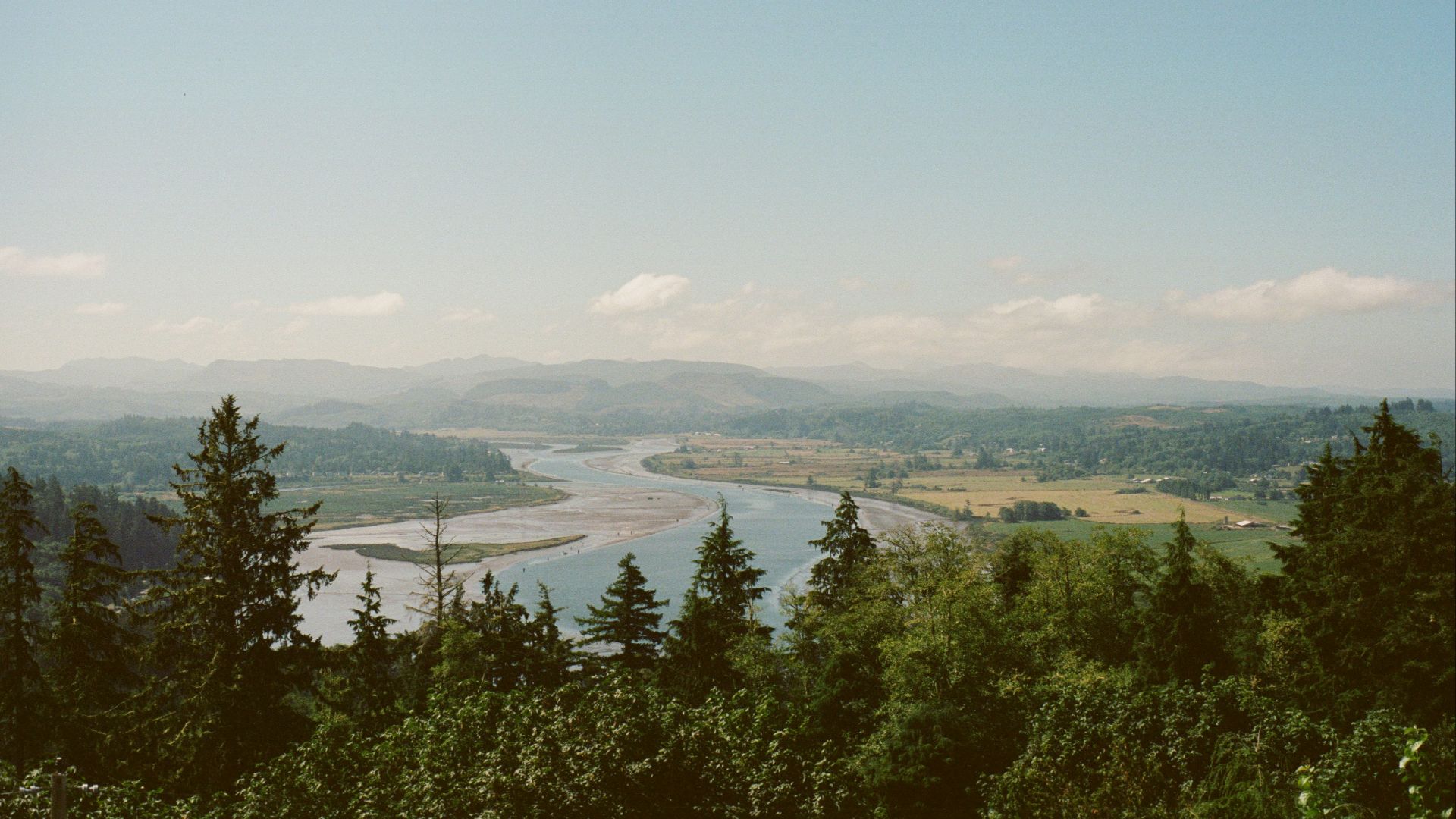
8. The Oregon Country Was Divided
Britain and the United States jointly occupied the Oregon Country while both governments maintained broad territorial claims in the Pacific Northwest. The Oregon Treaty of 1846 extended the 49th parallel westward as the main international boundary.
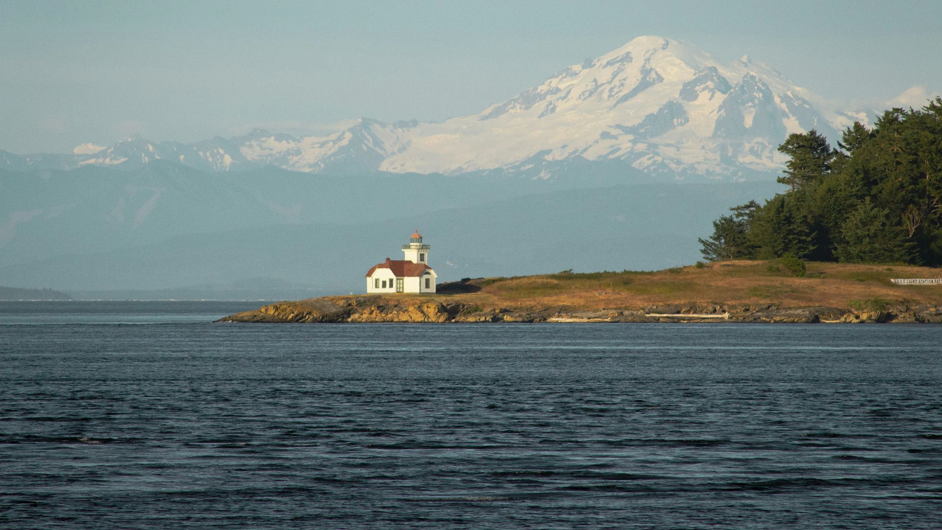
9. The San Juan Islands Went To America
Britain and the United States both claimed the San Juan Islands because the Oregon Treaty didn’t clearly identify which channel marked the border. The disagreement produced the bloodless Pig War crisis after an American settler shot a British-owned pig in 1859.
10. The Gadsden Purchase Adjusted Mexico’s Border
The United States purchased a strip of land from Mexico in 1853 through an agreement negotiated by James Gadsden. The purchase established most of the present continental border between the two countries.
11. Alaska Changed Owners Without A War
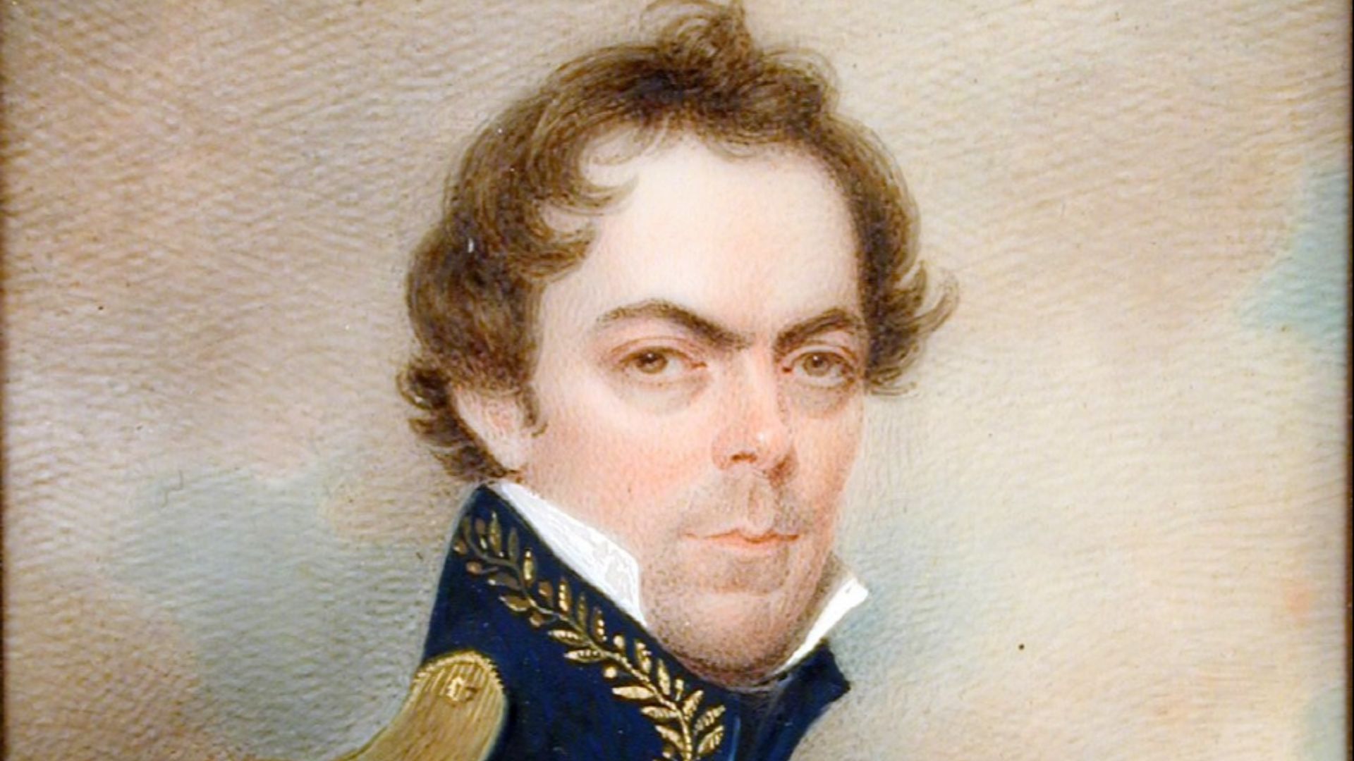
Russia sold Alaska to the United States in 1867 for $7.2 million because maintaining the distant territory had become difficult and expensive. Its precise southeastern boundary with Canada remained disputed until an international tribunal settled the Alaska boundary case in 1903.
12. The Free City Of Danzig Joined Poland
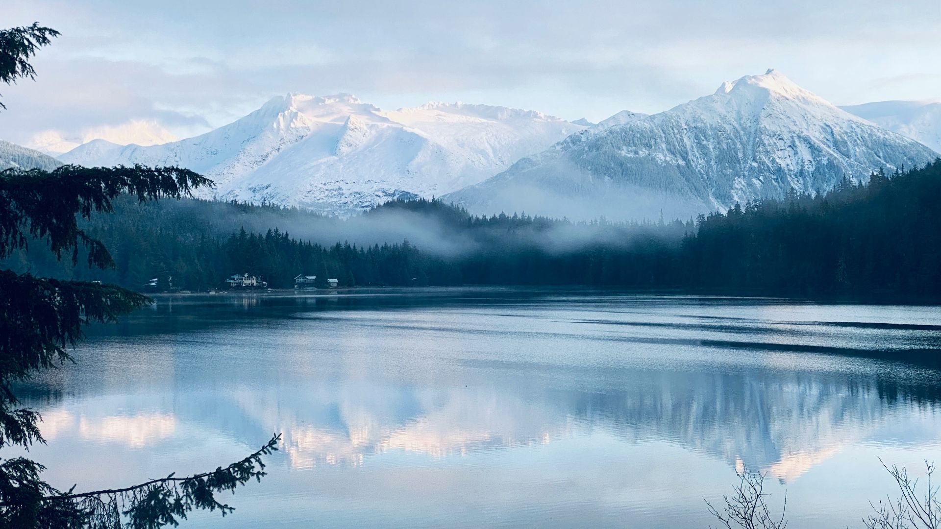
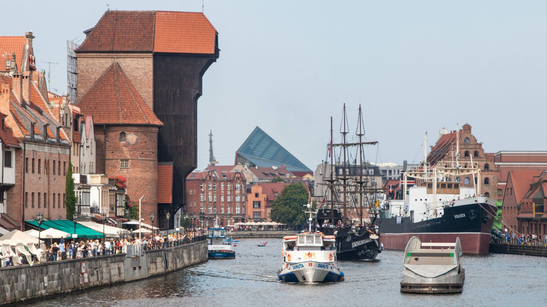
After World War I, Danzig and its surrounding territory became a semi-autonomous free city under League of Nations protection rather than part of Germany or Poland. The city, now called Gdańsk, became part of Poland after World War II as Poland’s borders shifted westward.
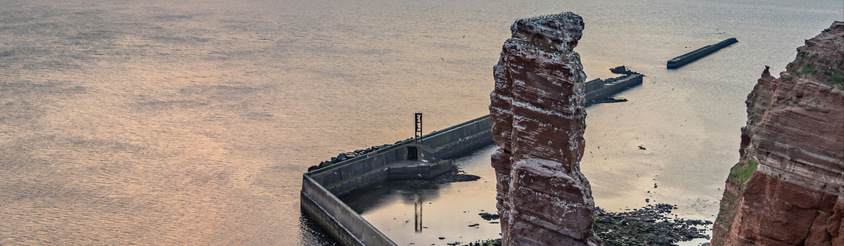
13. Heligoland Was Traded For African Claims
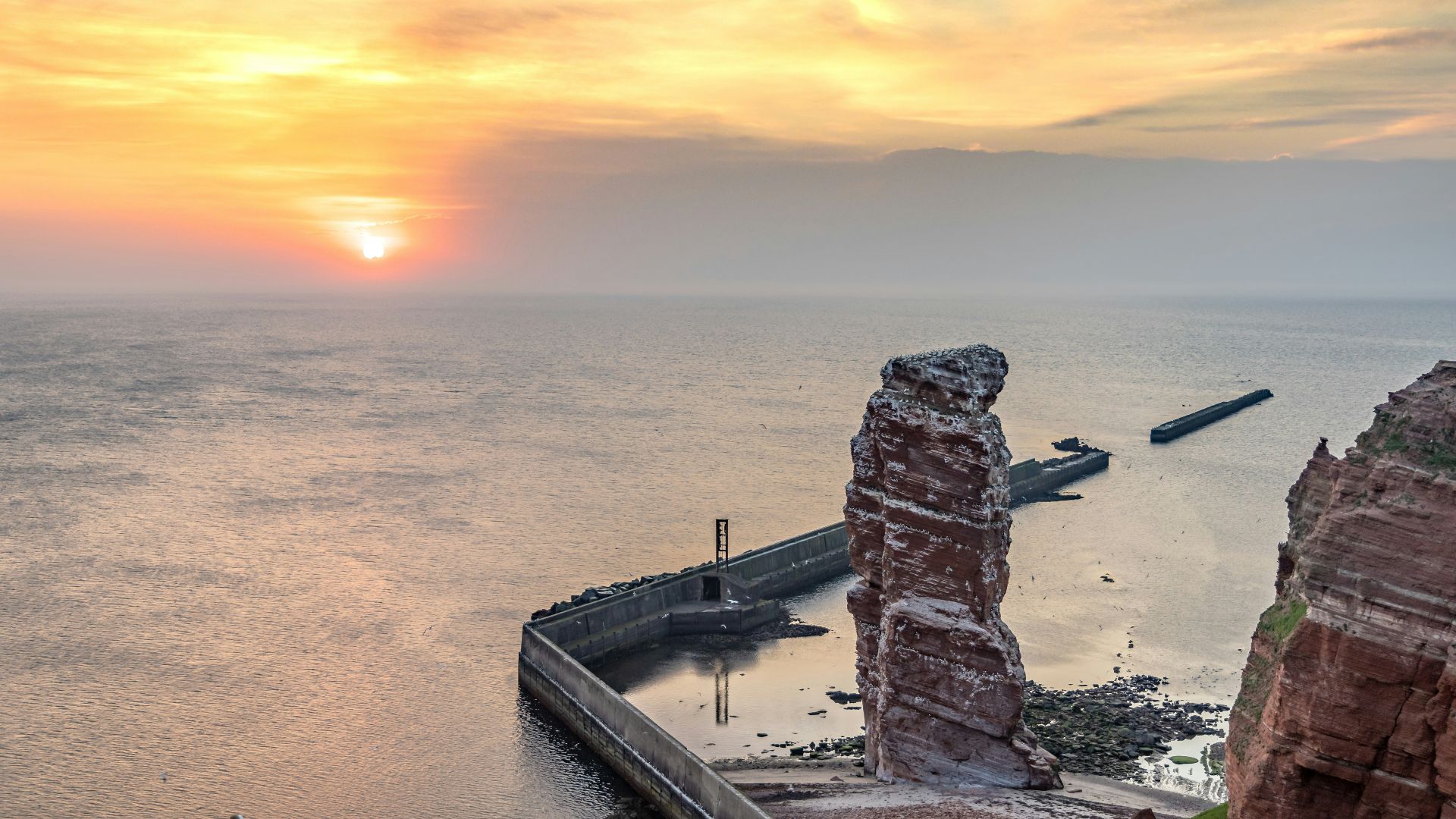
Britain transferred the North Sea islands of Heligoland to Germany under an 1890 agreement between the two empires. The deal is often simplified as a direct island-for-island exchange, although the treaty actually covered a much wider collection of territorial interests.
14. France And Brazil Settled The Amapá Dispute
France and Brazil both claimed a large region between French Guiana and the Amazon River during the 19th century. After armed confrontations and failed negotiations, the countries submitted the matter to international arbitration. Switzerland ruled largely in Brazil’s favor in 1900.
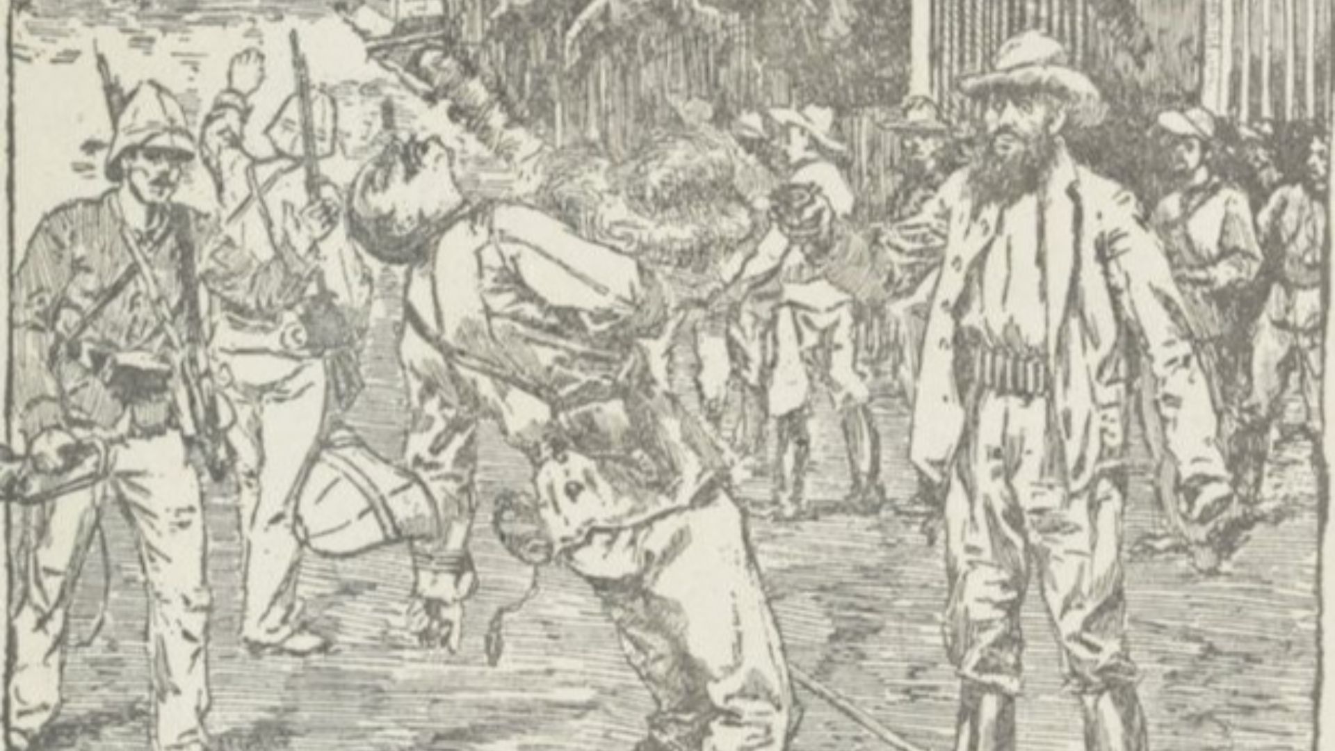
15. Burma And China Negotiated Their Frontier
Burma, now Myanmar, inherited an uncertain northern border when it gained independence from Britain. The agreement stood out during a period when several of China’s other frontiers remained unsettled or politically tense.
 Sébastien Goldberg on Unsplash
16. Poland And The Soviet Union Exchanged Territory
Poland and the Soviet Union carried out a territorial exchange in 1951 involving similarly sized areas along their shared border. Poland received land near the upper San River, while the Soviet Union gained a coal-rich district near the Western Bug.
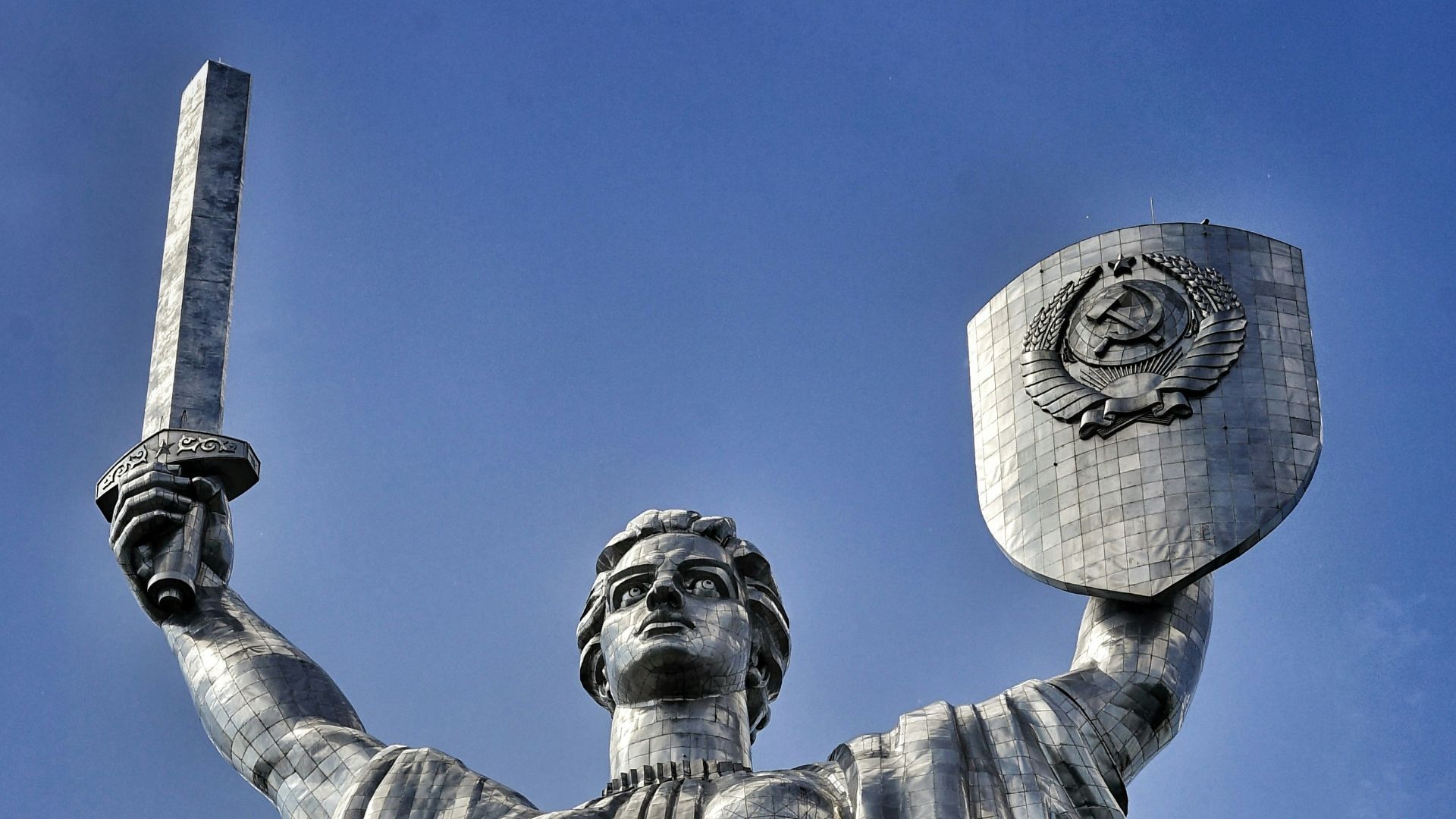
17. Czechoslovakia Gave Land To The Soviet Union
After World War II, Czechoslovakia ceded Carpathian Ruthenia to the Soviet Union through a treaty signed in 1945. The region had previously belonged to Austria-Hungary and then became part of Czechoslovakia after World War I.
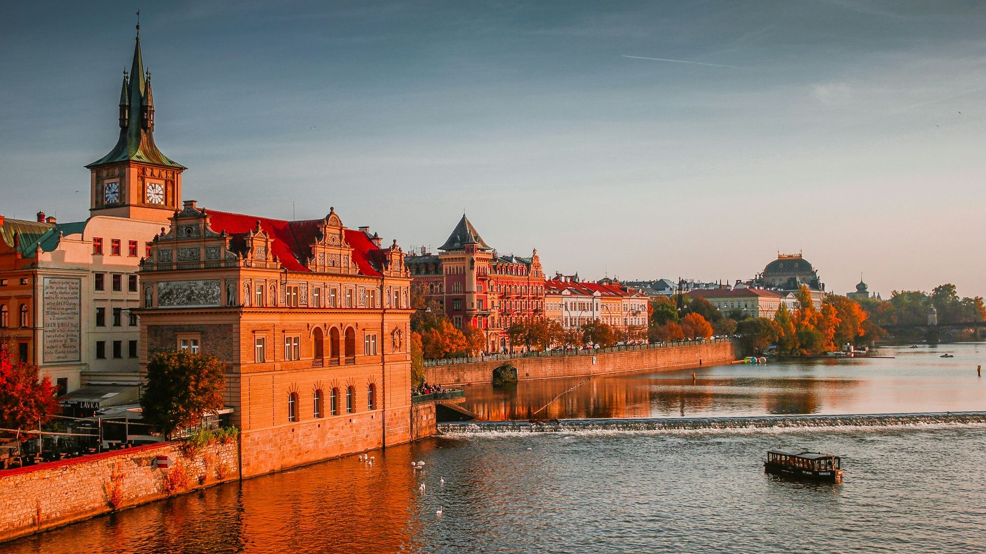
18. Italy And Yugoslavia Divided Trieste
The Free Territory of Trieste was created after World War II to prevent an immediate clash between Italian and Yugoslav territorial claims. In 1954, Italy took control of one zone and Yugoslavia took the other, with the border formally confirmed in 1975.
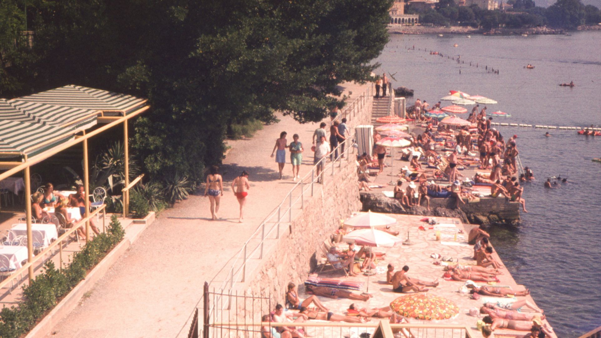
19. Saudi Arabia And Jordan Straightened Their Border
Saudi Arabia and Jordan exchanged territory in 1965 to create a more practical boundary. Jordan gained additional coastline south of Aqaba, improving its access to the Red Sea, while Saudi Arabia received inland territory elsewhere.
20. East Timor Adjusted Its Border With Indonesia
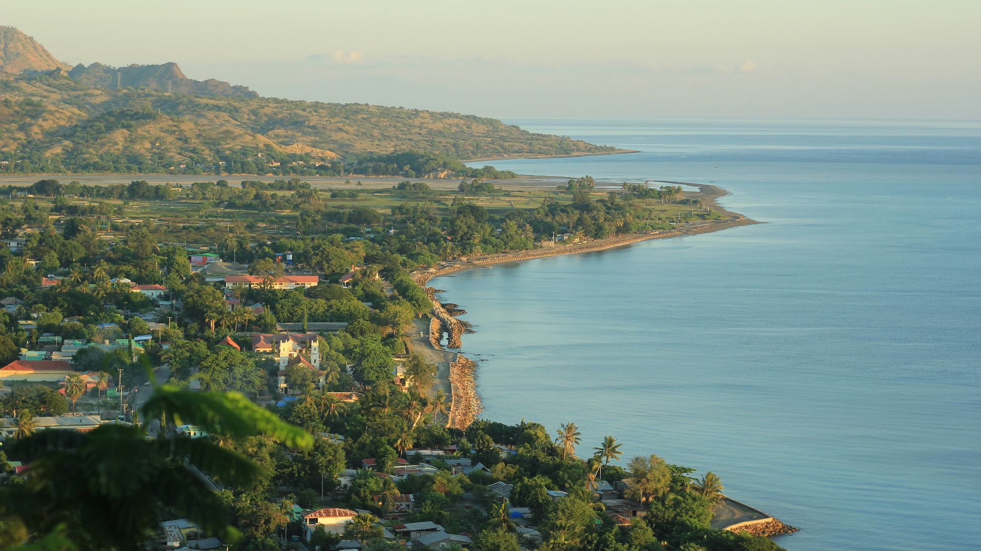
After East Timor became independent in 2002, portions of its land boundary with Indonesia still required detailed settlement. The process showed how independence can create years of technical border work even after the major political questions appear resolved.