
When you look at a modern map, it’s tempting to assume borders were drawn mainly by wars, treaties, and rulers with sharp pencils. While that’s all true, it’s not the whole story. Long before today’s nation-states existed, trade routes pushed people to settle in certain places, defend particular chokepoints, and compete over reliable corridors.
Ancient trade routes didn’t “cause” modern borders in a simple, straight line, and it’s worth being cautious about that. Still, they shaped where power gathered and where lines later made practical sense to outsiders and locals alike. A border is easier to enforce along a mountain pass everyone uses, a river that already organizes travel, or a desert edge anchored by oasis towns.
How Trade Corridors Turned Geography Into Strategy
Trade routes made some places valuable simply because they connected other places. Mountain passes like the Khyber Pass became strategic not because they were pretty, but because they were usable. When a corridor funnels movement, whoever controls it can tax goods, monitor travelers, and project power outward.
Caravan networks also encouraged borders to form around “strings of pearls” like oasis towns. In Central Asia, routes associated with the Silk Road linked cities such as Samarkand and Bukhara, creating zones that empires tried to hold as coherent units. Later powers, including the Russian Empire and Qing China, pushed into these regions partly to secure approaches and stabilize borderlands where trade and movement were constant.
Rivers and deserts became more than natural features once trade treated them like highways and walls. The Danube and Rhine, for example, served as key frontiers of the Roman Empire, partly because they were defensible and navigable. Those imperial boundaries didn’t become today’s borders directly, but they influenced later political geographies in Europe by shaping where authority and infrastructure clustered.
Markets, Cities, And Cultural Spheres That Outlived Empires
Trade routes didn’t just move goods; they built cities that became long-term anchors of political space. Ports and caravan hubs attracted artisans, religious institutions, bureaucrats, and armies, making them busy centers. When empires rose and fell, these places often remained important, so new rulers tried to claim them.
The trans-Saharan routes offer a clear example of how trade can organize a vast region. Gold, salt, and other goods moved between North Africa and the Sahel through networks tied to oasis points and caravan towns. Powerful states such as the Ghana Empire, Mali Empire, and Songhai Empire grew in part by controlling segments of these routes and taxing trade.
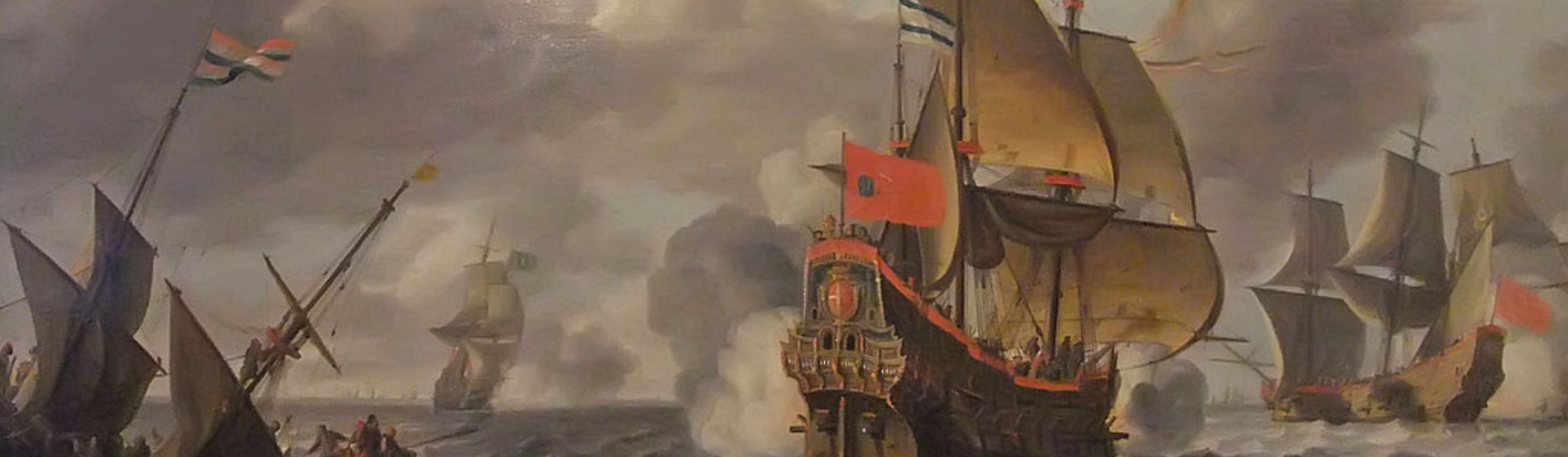
Maritime trade created similar effects along coasts, where ports became gateways that later states fought to control. In the Indian Ocean world, monsoon-driven sailing linked East Africa, Arabia, India, and Southeast Asia, supporting enduring commercial cities. The Swahili Coast developed as a chain of trading towns that connected inland resources to overseas markets, creating localized spheres of influence. In Southeast Asia, control of the Strait of Malacca became a recurring priority because it sits on a major sea lane between the Indian Ocean and the South China Sea.
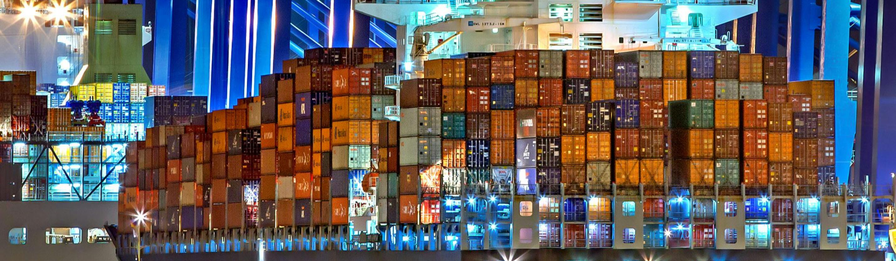
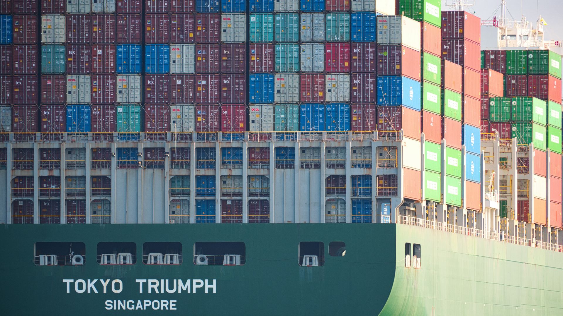
From Caravan Taxes To Customs Posts
 Nazarizal Mohammad on Unsplash
One quiet way trade shaped borders was through taxation, because governments love predictable revenue. If you can collect duties at a pass, a river crossing, or a port, you have a reason to define and defend a boundary there. Over time, checkpoints, forts, and customs systems turned flexible frontiers into firmer lines.
Imperial competition often followed trade infrastructure, and later borders reflect the outcomes of those contests. In parts of the Middle East, older routes connecting the Mediterranean to Mesopotamia and beyond influenced where cities flourished and where strategic depth mattered. Even when 20th-century agreements and mandates produced new borders, the importance of established towns and transport corridors affected how those borders functioned in practice.
Colonial-era boundary-making is often described as indifferent to local conditions, and sometimes it truly was. Still, colonial administrations frequently organized territories around navigable rivers, port access, and trade-linked urban centers because that’s how you move goods and people. That’s one reason many borders align with rivers or carve out access to coasts, even if the cultural consequences were messy.
Modern borders weren’t handed down by ancient merchants, but ancient trade left fingerprints all over the map. Routes concentrated populations, elevated particular cities, and turned passes, rivers, and straits into strategic prizes. Later empires and modern states often built on those realities because it was practical, profitable, and already embedded in daily life. If you trace the old corridors, you’ll often find today’s boundaries nearby, doing what borders have always done: managing movement. The surprising part isn’t that trade mattered, but how long its influence can last.
KEEP ON READING
The story of Ching Shih, the Woman Who Became the…
Unknown author on WikimediaFew figures in history are as feared…
By Emilie Richardson-Dupuis Dec 29, 2025
Einstein's Violin Just Sold At An Auction—And It Earned More…
A Visionary's Violin. Wanda von Debschitz-Kunowski on WikimediaWhen you hear…
By Ashley Bast Nov 3, 2025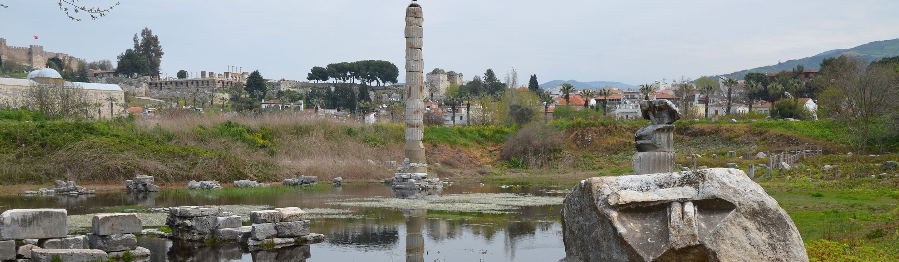
This Infamous Ancient Greek Burned Down An Ancient Wonder Just…
History remembers kings and conquerors, but sometimes, it also remembers…
By David Davidovic Nov 12, 2025
The Mysterious "Sea People" Who Collapsed Civilization
3,200 years ago, Bronze Age civilization in the Mediterranean suddenly…
By Robbie Woods Mar 18, 2025
20 Greatest Ancient Athletes In History
Ancient Olympics. Long before modern stadiums and multimillion-dollar endorsements, athletes…
By Sara Springsteen May 1, 2026
20 Soldiers Who Defied Expectations
Changing the Rules of the Battlefield. You’ve probably heard plenty…
By Annie Byrd Feb 10, 2026