The Day the Mississippi River Ran Backward: The 1811 Earthquake That Terrified Early America
The Day the Mississippi River Ran Backward: The 1811 Earthquake That Terrified Early America
When you think of major American earthquakes, your mind likely drifts toward the coastal fault lines of California or the dramatic landscapes of Alaska. However, one of the most powerful and staggering seismic events in continental history actually struck the heart of the American frontier in the winter of 1811. Centered near the small settlement of New Madrid, Missouri, a series of massive tremors shook the fledgling nation and permanently altered the local geography. It is a historical moment that sounds almost like a tall tale, yet contemporary accounts confirm the unbelievable power of a frontier wilderness turning completely upside down.
The sheer scale of this Midwestern seismic event caught the early pioneers entirely off guard because nobody expected the solid prairie ground to behave like an ocean. The initial shock waves traveled for hundreds of miles, ringing church bells in Boston and rattling teacups inside the White House in Washington, D.C. While the damage to human infrastructure was fortunately limited due to the sparse population of the region, the raw environmental transformation was nothing short of spectacular. Exploring this historical anomaly reveals a fascinating chapter in American geography where nature completely rewrote the rules of the landscape overnight.
The Night the Frontier Trembled
The peace of the frontier vanished in the early morning hours of December 16, 1811, when the first major earthquake ripped through the central Mississippi River Valley. Pioneers woke up to a terrifying, low, roaring sound that many eyewitnesses described as a continuous roll of distant thunder or a stampede of animals. The shaking was so violent that it split the earth open, creating deep fissures that swallowed up local livestock and split massive oak trees cleanly down the center. People scrambled out of their log cabins into the freezing darkness, desperate to find stable ground as the soil literally rolled in waves beneath their feet.
What made this particular geological event so unique was its incredible duration, as it was not just a single isolated shock that quickly faded away. The initial cataclysm triggered a relentless sequence of hundreds of smaller aftershocks that kept the local population in a state of constant anxiety for several consecutive months. Two more massive earthquakes struck early the following year, with the final and most powerful tremor occurring on February 7, 1812. This extended bombardment meant that families spent their entire winter living in temporary canvas shelters, terrified to step foot inside any permanent wooden structure.
Scientists today estimate that these main tremors registered well above a magnitude of 7.0, making them significantly stronger than many modern coastal disasters. Because the underlying bedrock of the American Midwest is exceptionally cold and dense, it acts like a giant bell that transmits seismic energy with incredible efficiency. This allowed the shock waves to travel up to ten times farther than they would have along a fractured West Coast fault line. You can only imagine the sheer bewilderment of citizens on the Atlantic coast feeling the ground sway from a disturbance thousands of miles away.
Reversing the Mighty Mississippi
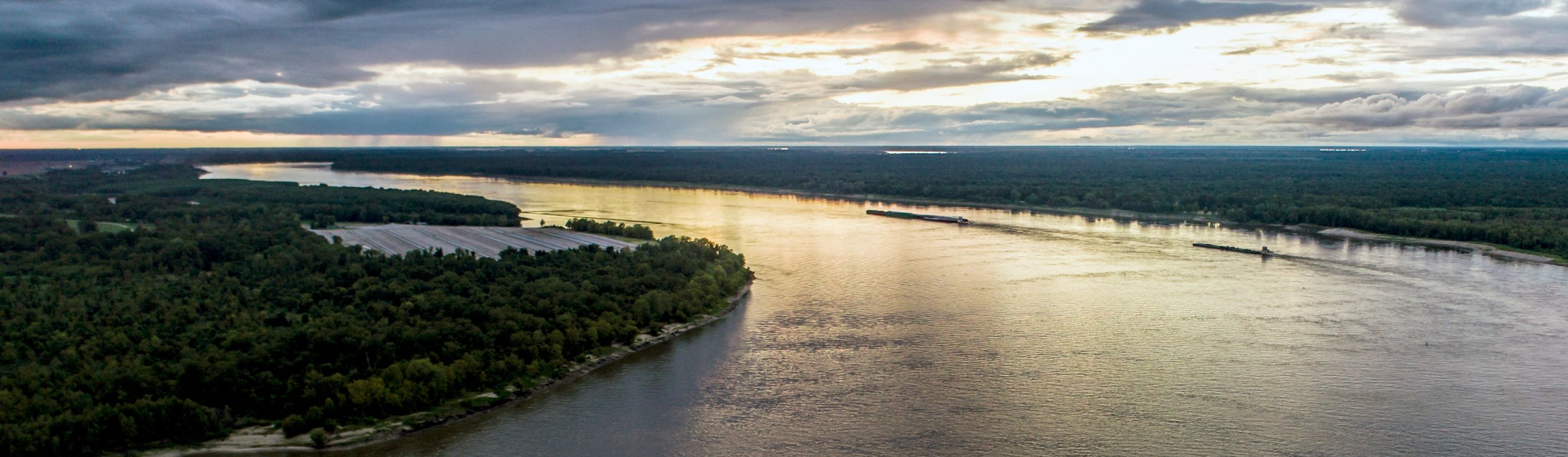
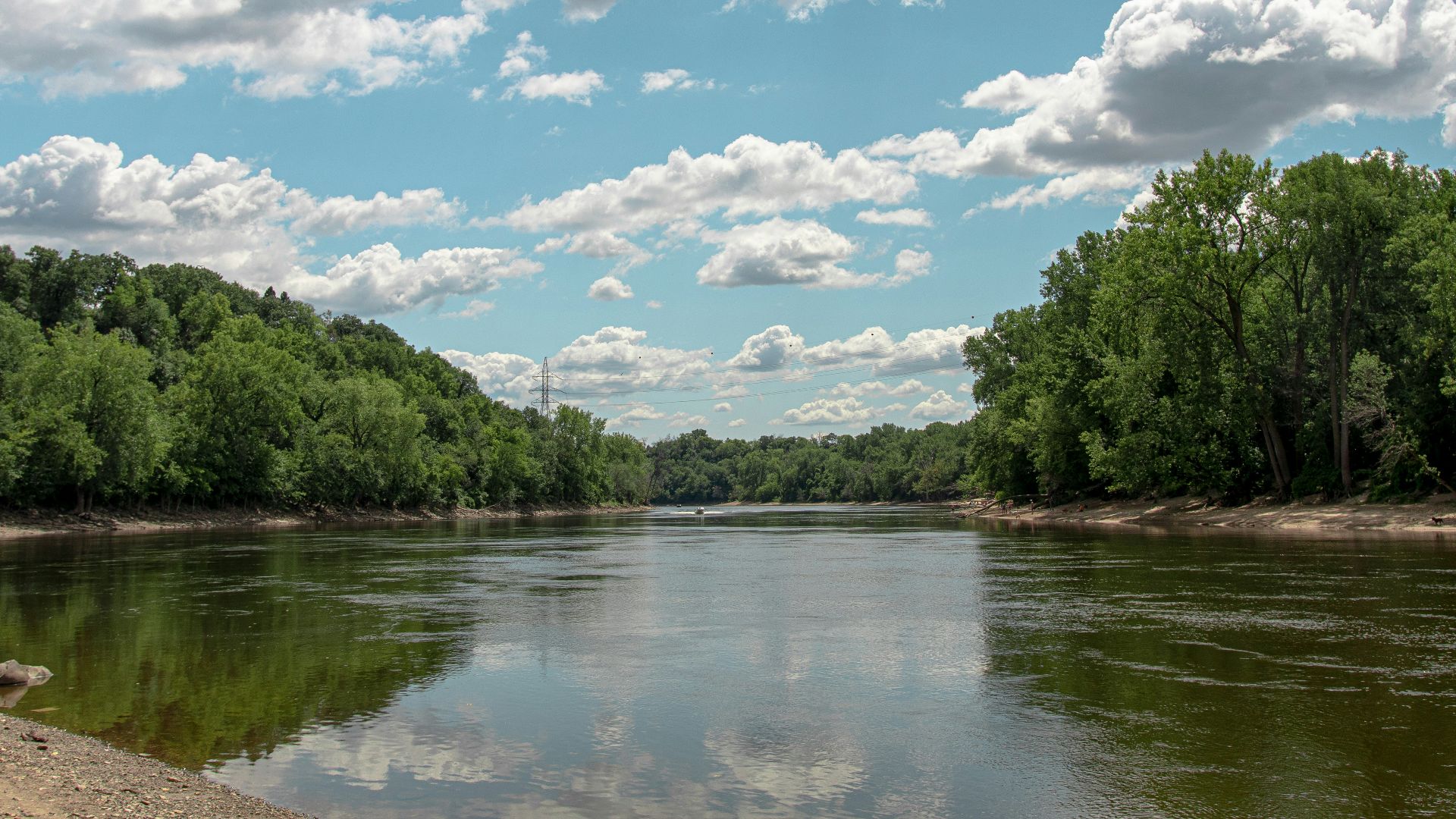
The most famous and visually stunning byproduct of this tectonic shifting occurred along the channels of the nation's greatest waterway. During the massive February tremor, the riverbed violently buckled upward, creating a temporary geological dam that completely blocked the downstream flow of the water. This sudden obstruction forced the massive volume of the Mississippi River to reverse its direction, surging backward for several hours to fill the newly formed depressions in the landscape. Boatmen steering their flatboats downstream suddenly found themselves propelled backward in a chaotic scramble against a roaring upstream current.
This temporary reversal of the current created terrifying water hazards, including massive whirlpools and localized waterfalls that easily smashed smaller wooden rivercraft. Entire islands that had served as important navigation landmarks for generations vanished into the murky depths as the riverbanks collapsed into the churning waters. The air became thick with the sulfurous scent of ancient mud and gases that had been released from deep beneath the riverbed during the ruptures. It created a scene of pure primeval chaos that convinced many travelers the world was coming to an absolute end.
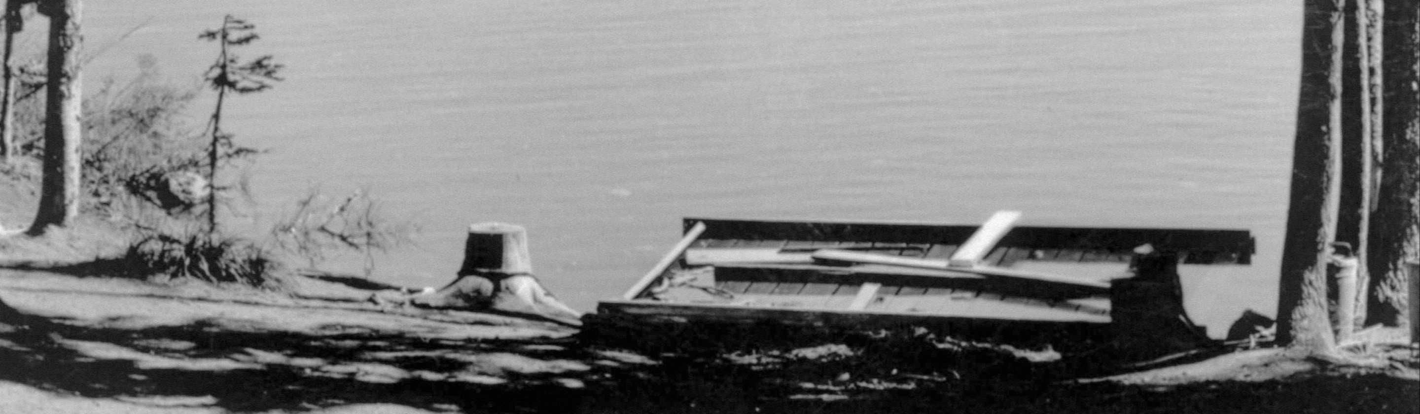
Once the river finally carved its way through the newly uplifted land, the permanent changes to the geography became clearly visible to everyone. The reversed waters successfully filled a massive, newly subsided basin in Tennessee, creating the expansive body of water known today as Reelfoot Lake. To this day, you can still look down into the calm waters of the lake and see the eerie, preserved stumps of cypress forests that were submerged during that wild winter. The river eventually settled into a brand-new path, leaving old docks and boundary lines stranded miles away from the new current.
Aside from the dramatic behavior of the river, the earthquakes triggered a bizarre geological process known as soil liquefaction across the surrounding floodplains. The intense shaking put immense pressure on underground water reservoirs, forcing the water to erupt upward through the thick layers of surface soil. This resulted in thousands of spectacular geysers that blasted sand, water, and charcoal-colored sediment dozens of feet into the air. These dramatic eruptions left behind giant craters and massive fields of white sand that ruined fertile farming fields for decades after the event.
KEEP ON READING