
 Sesha Reddy Kovvuri on Unsplash
Maps have shaped human history far more than many people realize. Long before satellites and digital navigation existed, maps helped civilizations trade, travel, wage wars, and explore unfamiliar territory with greater confidence. Early maps were often incomplete or inaccurate by modern standards, yet they represented humanity’s growing desire to understand the world beyond immediate surroundings. As mapping techniques improved over centuries, exploration expanded alongside them and completely changed how people viewed the planet.
The history of maps also reflects advances in science, mathematics, astronomy, and navigation. Ancient civilizations relied on observation and local knowledge, while later societies developed more sophisticated systems using coordinates, measurements, and global positioning concepts. Every major improvement in cartography opened new possibilities for travel and discovery. The evolution of maps wasn’t just about drawing locations more accurately. It fundamentally transformed exploration itself.
Early Maps: The First Attempts To Understand The World
Some of the earliest known maps date back thousands of years to ancient Mesopotamia, Egypt, and Greece. These early maps were usually carved into clay tablets or drawn on papyrus and focused mainly on nearby regions, trade routes, rivers, or political boundaries. Accuracy was limited because mapmakers relied heavily on direct observation and secondhand reports. Even so, these maps represented major intellectual achievements for their time.
Ancient Greek scholars made some of the earliest scientific contributions to cartography. Around the third century BCE, Eratosthenes calculated the Earth’s circumference with impressive accuracy using shadows and geometry. Greek geographer Ptolemy later introduced systems involving latitude and longitude, which became foundational concepts in mapmaking. Although some of his world maps contained major errors, his methods influenced cartography for centuries.
During the Roman Empire, maps became practical tools for administration, military planning, and transportation. Roman road maps helped organize one of the largest transportation networks in the ancient world. Instead of focusing purely on geographic accuracy, many Roman maps emphasized travel routes and distances between cities. These practical designs supported communication and trade across vast territories.
How Navigation And Exploration Improved Mapping
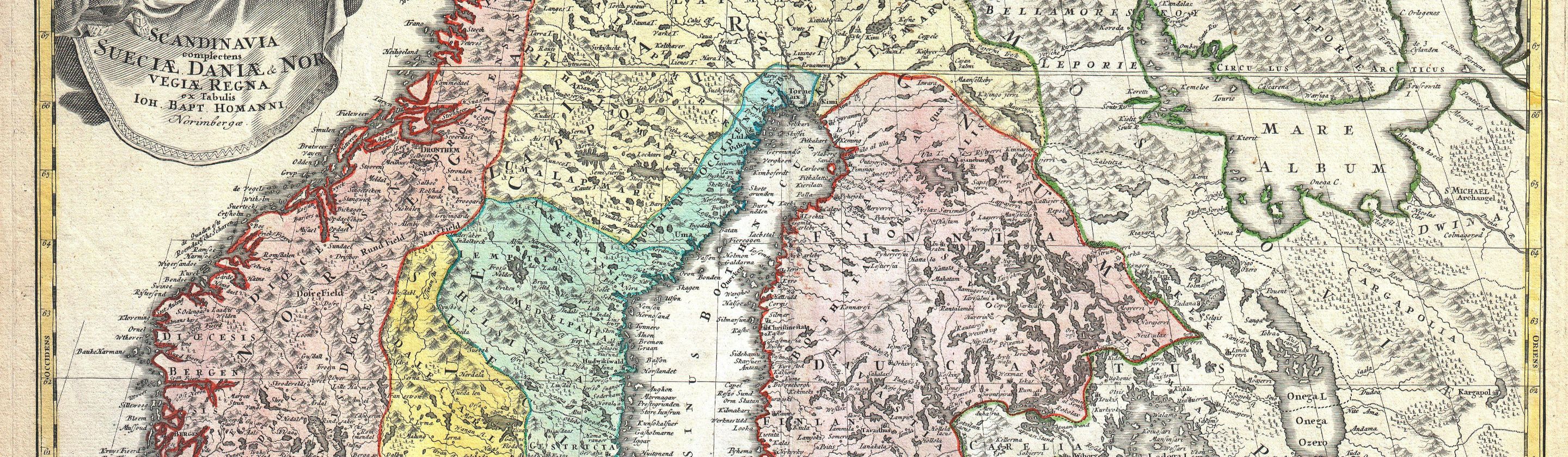
The Middle Ages saw important developments in mapping despite common misconceptions that cartography completely disappeared in Europe. Islamic scholars preserved and expanded geographical knowledge from Greek and Roman sources while producing highly influential maps of trade routes, coastlines, and cities. Scholars such as Al-Idrisi created detailed world maps that combined information from travelers, merchants, and earlier scientific works. These contributions later influenced European exploration and navigation.
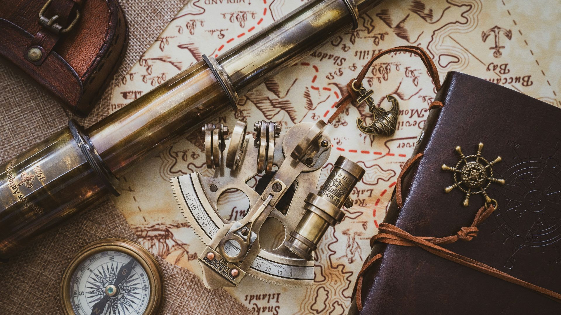
The invention of the magnetic compass significantly improved long-distance travel beginning in the medieval period. Sailors could navigate more consistently across open water, which increased demand for better coastal maps called portolan charts. These charts became widely used around the Mediterranean because they provided detailed shoreline information and navigational directions. More reliable navigation encouraged explorers to travel farther from familiar regions.
During the Age of Exploration in the fifteenth and sixteenth centuries, mapmaking advanced rapidly alongside global voyages. Explorers like Christopher Columbus, Vasco da Gama, and Ferdinand Magellan brought back new geographic information that reshaped European understanding of the world. Cartographers updated maps constantly as new coastlines, trade routes, and continents became known. Exploration and mapping essentially fueled one another during this period.
Modern Cartography And The Rise Of Digital Mapping
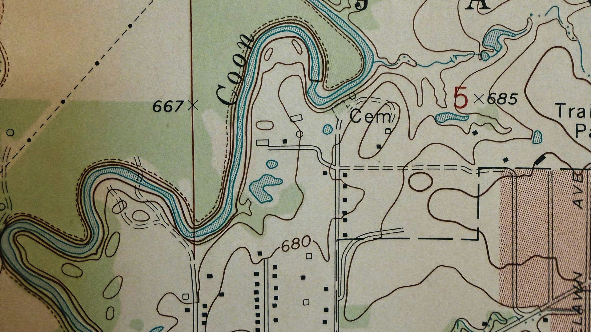
Scientific advancements during the seventeenth and eighteenth centuries improved map accuracy dramatically. Better tools for measuring distance, calculating longitude, and observing the stars allowed cartographers to create more reliable global maps. Governments also began funding large surveying projects to improve military planning, taxation, and territorial control. Mapping became increasingly connected to scientific precision rather than artistic interpretation.
The nineteenth and twentieth centuries introduced technologies that transformed cartography even further. Photography, airplanes, and satellite imagery allowed mapmakers to capture landscapes from above with far greater detail. Accurate topographic maps became essential for transportation systems, urban planning, and military operations. Exploration also expanded into remote regions that earlier civilizations struggled to document accurately.
Today, digital maps and GPS technology have changed navigation in ways earlier societies could never have imagined. Smartphones provide real-time directions, traffic updates, and satellite imagery almost instantly. While modern mapping feels effortless now, it’s built upon thousands of years of gradual scientific and geographic progress. The evolution of maps didn’t just help humans explore the world, but it also completely changed how people understood their place within it.
Even in the modern era, maps remain far more than simple navigation tools. They influence politics, environmental research, global trade, and the way societies visualize borders and resources. From ancient clay tablets to satellite-based navigation systems, the history of maps reflects humanity’s constant drive to explore, measure, and understand the unknown. Every improvement in cartography expanded the limits of exploration a little further, shaping world history along the way.
KEEP ON READING

The 10 Youngest Monarchs In History & The 10 Oldest
Age Is Just A Number. Imagine being crowned king or…
By Chase Wexler Mar 11, 2025
You Think You Have Problems? These Royal Families Were Cursed
Boasson and Eggler St. Petersburg Nevsky 24. on WikimediaHeavy is…
By Ashley Bast Dec 5, 2025
You Can Thank This Greek-Canadian For Creating Pineapple On Pizza…
Love it or hate it, pineapple on pizza sparks debate…
By David Davidovic Dec 1, 2025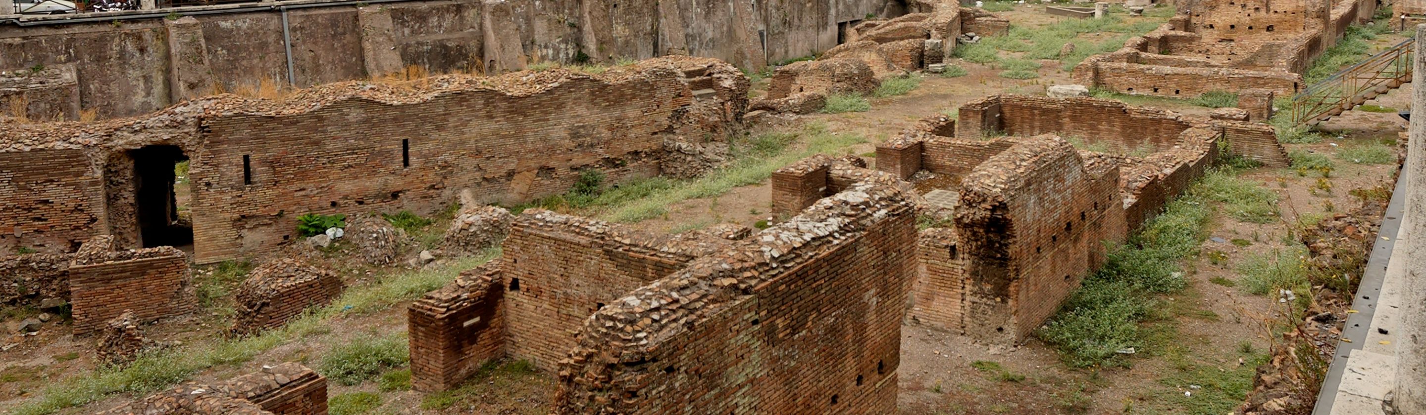
Yes, Female Gladiators Existed, And Here's Everything You Need To…
History of Women in Combat. Most people picture gladiators as…
By David Davidovic Jan 17, 2026
Yes, Australians Once Lost A Battle Against Flightless Birds
David Clode on UnsplashIn 1932, the Australian military went to…
By David Davidovic Nov 24, 2025
The Y2K Bug: Why Did Everyone Think Year 2000 Was…
Alan W on UnsplashOn December 31, 1999, people all over…
By Christy Chan Dec 22, 2025