
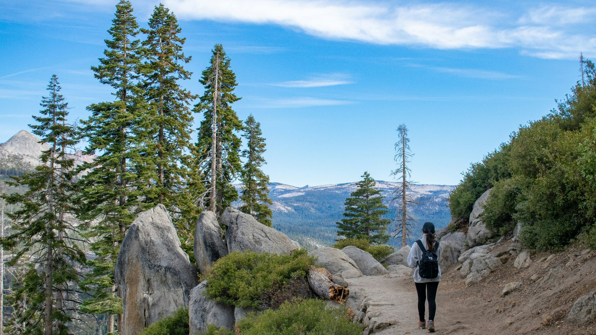
Imagine lacing up your boots, stepping off the back porch, and not stopping until you've circled the entire outline of the United States. Down the Atlantic coast, along the Gulf, up through the deserts of the Southwest, north along a 49th-parallel border drawn by treaty, and back down a Pacific coastline carved by glaciers and time. It sounds absurd, but it's not as far-fetched as it seems, and chasing the answer turns into something better than a hiking question.
So: could you actually walk the outline of the United States? Yes and no. You could walk a rough loop around the lower 48 using public trails, roads, coastal paths, and a lot of improvisation. What you couldn't do is walk every single inch of the country's actual border — shorelines, rivers, lakes, islands, private land, protected wilderness, and international boundaries all get in the way of a clean lap.
The Coastline That Won't Sit Still
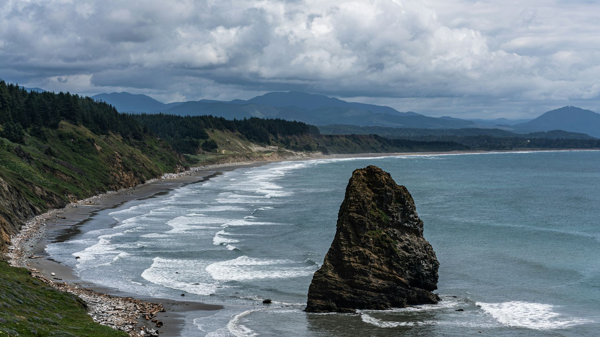
Any good road trip starts with a map, but the U.S. coastline refuses to give you one definitive line to follow. The NOAA puts the total U.S. shoreline at 95,471 miles, but admits that figure shifts depending on how it's measured. Unfortunately, there's no single legal shoreline that works in every situation.
Zoom into any beach town, and you'll see why. Up close, coasts dissolve into bays, inlets, tidal flats, marshes, river mouths, and a thousand small judgment calls about where land actually ends and water begins. Cartographers call this the coastline paradox: the closer you measure, the longer the coast appears to get. It's a fitting metaphor for the whole trip: the closer you look at America's outline, the more it wriggles away from you.
As you head north, the journey gets stranger. The U.S.-Canada border runs 5,525 miles and is marked by a 20-foot-wide cleared strip of land. While technically walkable in places, it's built for surveying, not sightseeing.
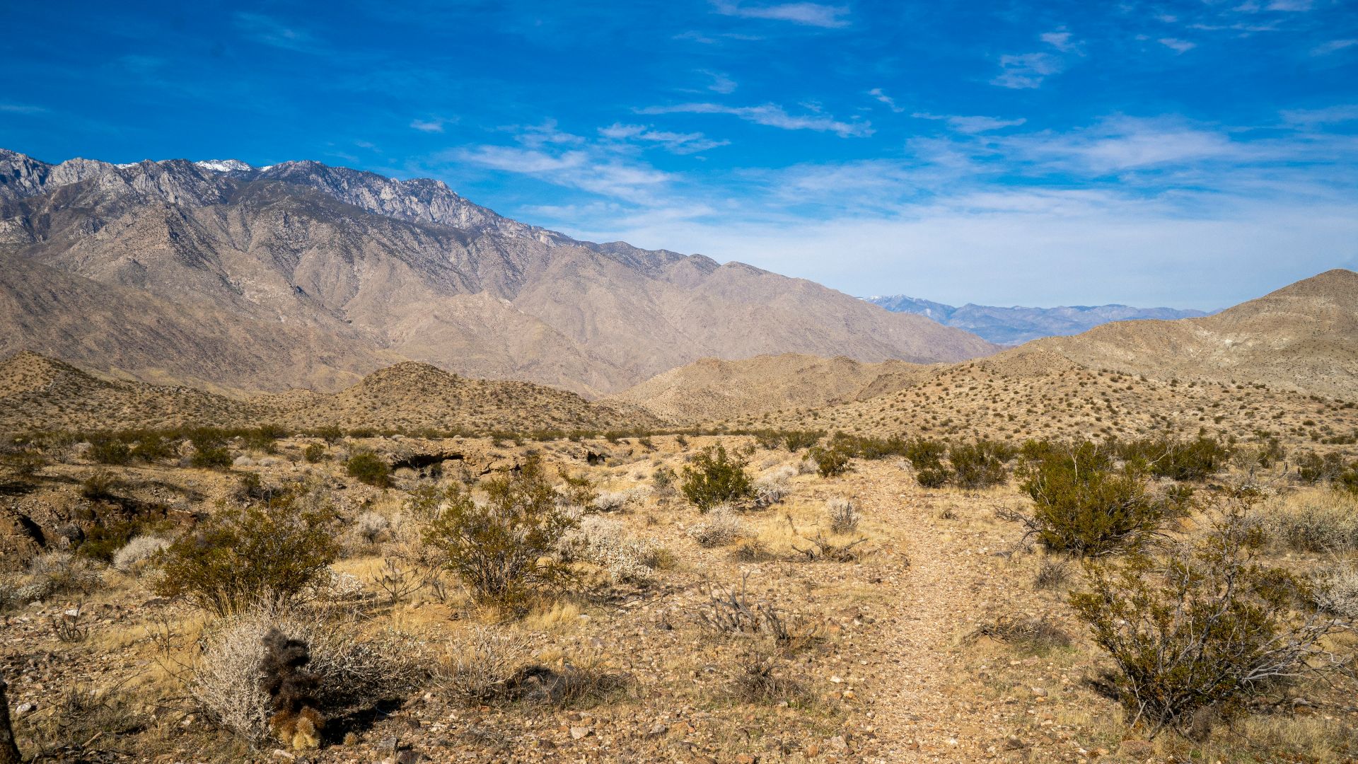
The southern border tells a messier story. The U.S.-Mexico boundary stretches 1,954 miles, not counting maritime sections, with 1,255 of those miles following the bends of the Rio Grande. A river border doesn't lend itself to a tidy footpath; it lends itself to detours, ferry crossings, and a lot of staring across the water at a country you can't simply step into.
A Country Built One Treaty at a Time
Here's where the trip turns into time travel. The outline you'd be walking wasn't drawn all at once. The United States's outline was assembled, treaty by treaty, purchase by purchase, war by war. Start at the beginning: the Treaty of Paris, signed September 3, 1783, ended the Revolutionary War and gave the brand-new United States its first official borders, borders that looked nothing like the ones on a map today.
Keep walking west, and you're tracing the Louisiana Purchase of 1803, when the U.S. bought 828,000 square miles from France for $15 million and roughly doubled overnight. Push further northwest, and you're following a boundary set by diplomacy rather than war: the U.S. and Britain agreed on the 49th parallel back in 1818, then extended that line west through the Oregon Treaty of 1846, settling a dispute that nearly turned into a fight over Vancouver Island.
Head south and the journey turns heavier. The Treaty of Guadalupe Hidalgo, signed February 2, 1848, ended the U.S.-Mexico War, and Mexico ceded 55 percent of its territory. That land became California, Nevada, Utah, New Mexico, most of Arizona and Colorado, and pieces of Oklahoma, Kansas, and Wyoming. A few years later, the Gadsden Purchase added roughly 30,000 more square miles in southern Arizona and southwestern New Mexico, rounding out the outline of the lower 48 we'd recognize today.
And if your walk somehow stretched all the way to Alaska, you'd be tracing a border born from one of history's better real-estate deals: in 1867, the U.S. bought nearly 600,000 square miles from Russia for $7.2 million, according to the Library of Congress — a price that looked outrageous at the time and absurd in hindsight.
The Closest Thing to an Actual Trail
So has anyone actually tried this hike? Sort of. The American Perimeter Trail is an early-stage effort to stitch together existing trails and unfinished routes into one long conservation corridor circling the country. It's still very much a work in progress, not a single ribbon of trail you could follow start to finish.
Hiker Rue McKenrick scouted a version of the route, and coverage of the project from Wilderness Mindset pegs the distance at roughly 14,000 miles around the country's perimeter. That number is a practical route estimate, not a precise measurement of the nation's legal outline. However, it's still a useful gut check for how enormous this trip would actually be. For comparison, the Appalachian Trail stretches just over 2,190 miles, and the Appalachian Trail Conservancy says most thru-hikers need five to seven months to finish it. Stretch that math out to 14,000 miles, and you're looking at a multi-year undertaking, not to mention serious money, serious planning, and an even more serious tolerance for blisters.
So, can you walk the outline of the United States? The real answer is...Not exactly. You can't walk the precise legal edge of the United States. The real border is tangled up in tidal marshes, river bends, private property, and water you simply can't cross on foot. What you can do is walk a rough, sprawling, deeply imperfect loop around the country, one that would carry you past beaches and bayous, through deserts and forests, alongside a 200-year-old surveyed line, and across land that changed hands through war, purchase, and diplomacy long before you ever laced up your boots.
It wouldn't be a walk along America's outline. It would be a walk through America's history. One mile, one treaty, one river bend at a time.
KEEP ON READING

The 20 Worst Mothers In History
Grim Maternal Infamy. History has plenty of powerful and complicated…
By Annie Byrd Jun 30, 2026
10 Women Who Changed History Quietly & 10 Who Did…
Different Kinds of Power Leave Different Marks. History doesn’t always…
By Emilie Richardson-Dupuis Jun 30, 2026
How Armies Communicated Before Radios And Technology
Jakob Owens on UnsplashModern militaries rely on radios, satellites, and…
By Rob Shapiro Jun 30, 2026
Walking the Edge of America: A History Hike Across Three…
Christian Mikhael on UnsplashImagine lacing up your boots, stepping off…
By Elizabeth Graham Jun 30, 2026
20 Treaties That Promised Peace But Delivered Chaos
When Peace Settlements Made Things Worse. Throughout history, peace treaties…
By Rob Shapiro Jun 30, 2026
20 Famous Historical Events That Never Actually Happened
Made-Up History. What do Marie Antoinette saying "Let them eat…
By Christy Chan Jun 29, 2026