
How Early Navigation Techniques Guided Explorers Across Oceans
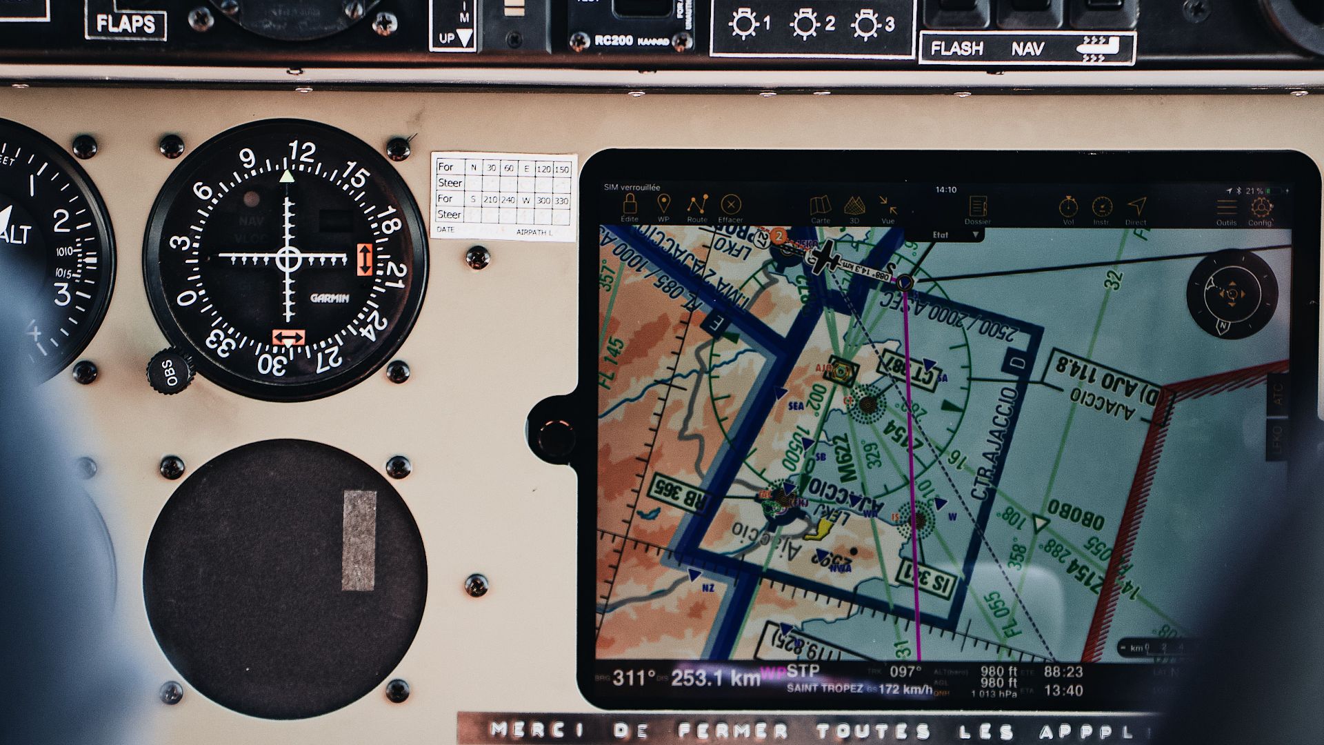
Long before satellites, digital maps, and advanced navigation systems existed, sailors crossed vast oceans using observation, experience, and carefully developed techniques. The ability to navigate accurately determined whether a voyage ended in discovery, successful trade, or disaster. While modern technology has transformed maritime travel, many early methods were remarkably effective given the tools available at the time.
For centuries, explorers relied on a combination of astronomy, environmental clues, and practical seamanship to find their way across open water. These techniques evolved gradually as knowledge was shared between cultures and generations of sailors. Understanding how early navigation worked provides a fascinating look at the skill and determination required to travel the world's oceans.
Reading The Sky And The Stars
One of the most important navigation tools available to early sailors was the night sky. Mariners learned to identify specific stars and constellations that could help determine direction when landmarks were no longer visible. In the Northern Hemisphere, Polaris, commonly known as the North Star, became especially valuable because it remains positioned close to true north. This reliable reference point helped sailors maintain their intended course over long distances.
Daytime navigation also depended heavily on observing the sun. Experienced navigators tracked the sun's position throughout the day to estimate direction and monitor their progress. Over time, instruments such as the astrolabe and later the cross-staff allowed sailors to measure the angle between celestial bodies and the horizon. These measurements provided useful information about latitude, helping mariners determine how far north or south they had traveled.
Knowledge of astronomy became increasingly important as voyages expanded into unfamiliar waters. Navigators spent years learning how celestial patterns changed throughout the seasons and across different regions of the world. This expertise allowed them to make informed decisions even when weather conditions or other challenges complicated a journey. In many cases, a skilled navigator's understanding of the sky could mean the difference between success and failure.
Using Nature As A Guide
Early sailors paid close attention to the natural world because environmental clues often revealed valuable information. Ocean currents, prevailing winds, and wave patterns helped navigators estimate their location and predict the best routes for travel. Over time, mariners developed detailed knowledge of recurring wind systems that could significantly reduce travel time. This understanding became particularly important during long ocean crossings.
Birds also served as useful indicators of nearby land. Certain species rarely traveled far from shore, so their appearance often suggested that land was within reach. Sailors frequently observed bird behavior, migration patterns, and flight directions when searching for islands or coastlines. These observations provided information that could not be obtained through instruments alone.
Other environmental signs contributed to navigation as well. Floating vegetation, changes in water color, and the presence of marine life sometimes indicated proximity to land or shifting ocean conditions. Skilled navigators learned to interpret these subtle clues through years of experience at sea. Their ability to combine multiple observations often improved the accuracy of their decisions.
Building Better Navigation Systems
As maritime exploration expanded, navigators developed increasingly sophisticated methods for recording and sharing information. Dead reckoning became one of the most widely used techniques, involving estimates of direction, speed, distance traveled, and elapsed time. Although not perfectly accurate, it allowed sailors to track their progress between known locations. Careful record-keeping helped reduce errors during lengthy voyages.
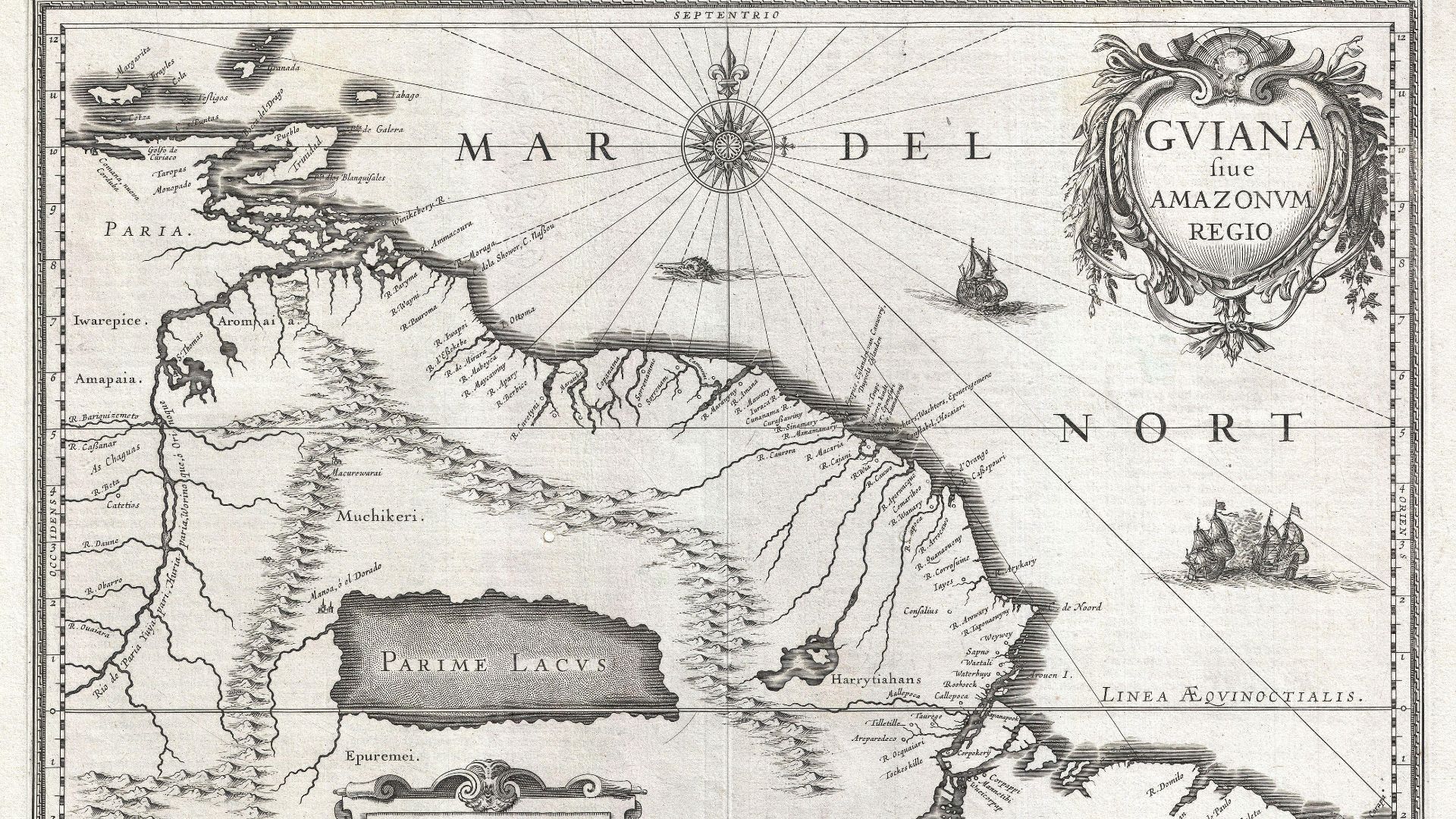
Maps and charts gradually became more detailed as explorers returned with new information. Each successful voyage added to the collective understanding of coastlines, currents, and sailing routes. Cartographers incorporated these discoveries into updated maps that future navigators could use. The growing availability of better charts improved the safety and efficiency of maritime travel.
Navigation instruments also evolved steadily over time. Devices such as the magnetic compass provided sailors with a dependable way to determine direction even when celestial observations were impossible. Combined with traditional techniques, these innovations expanded the range of possible voyages and supported increasingly ambitious exploration. The development of improved navigation tools played a major role in connecting distant parts of the world.
The achievements of early explorers depended on far more than courage and determination. Their success was made possible by generations of accumulated knowledge about the stars, the oceans, and the natural environment. Through careful observation and continual refinement of navigation techniques, sailors learned how to cross vast stretches of open water with remarkable accuracy. Those early methods laid the foundation for the sophisticated navigation systems that guide ships across the oceans today.
KEEP ON READING

The Day the Sun Didn’t Rise: The Unexplained New England…
Alina Nichepurenko on UnsplashImagine waking up on a spring morning,…
By Sara Springsteen Jun 18, 2026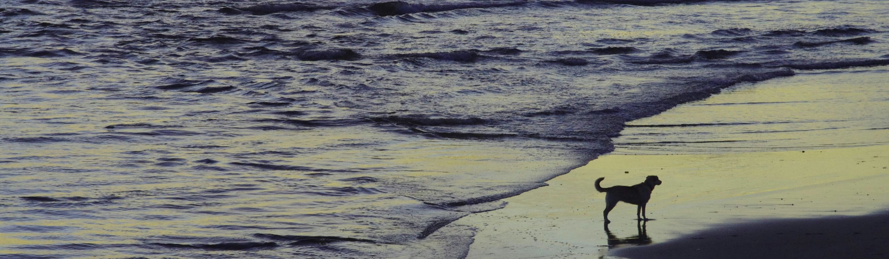
20 Facts About Animal Symbolism In Paintings
The Sacred Clues Across History. Animal symbolism is a detail…
By Elizabeth Graham Jun 18, 2026
How a Single Telegram Pushed America Into World War I
Sammie Sander on PexelsThe year is 1917, and the United…
By Cameron Dick Jun 18, 2026
The Marriage Bed As A Political Object
Fæ on WikimediaA bed is naturally a private space—it's where…
By Elizabeth Graham Jun 18, 2026
20 Most Inappropriate Relationships From History
Private Attachments With Public Consequences. It’s easy to think of…
By Annie Byrd Jun 18, 2026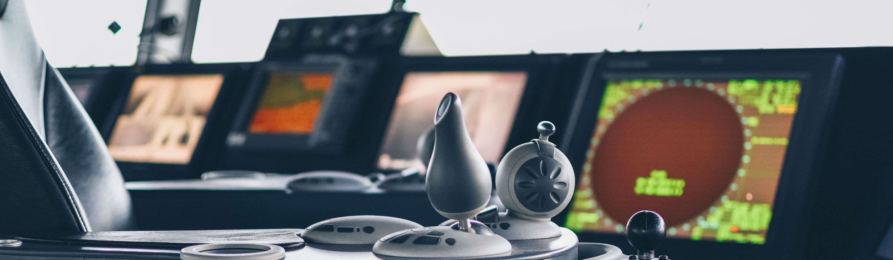
How Early Navigation Techniques Guided Explorers Across Oceans
Maël BALLAND on PexelsLong before satellites, digital maps, and advanced…
By Rob Shapiro Jun 18, 2026