
How Earth’s Surface Reveals Its Ancient Past
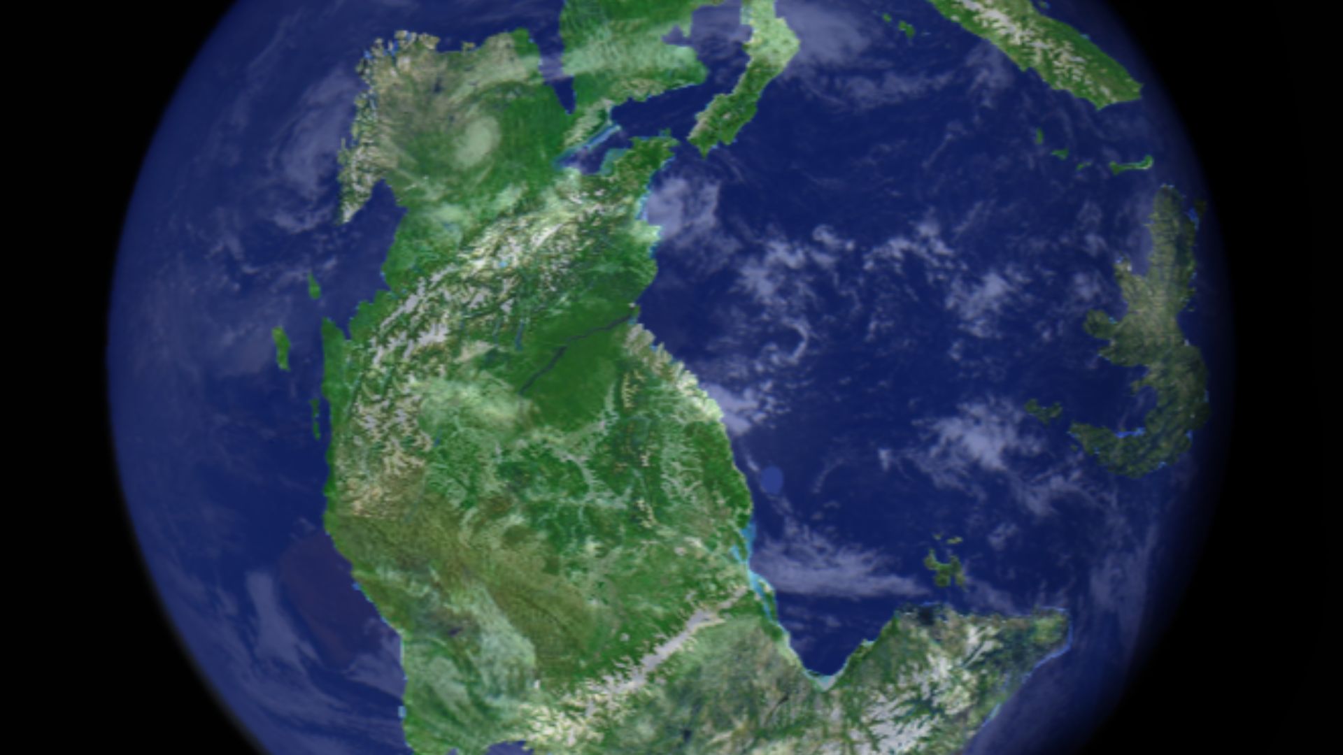
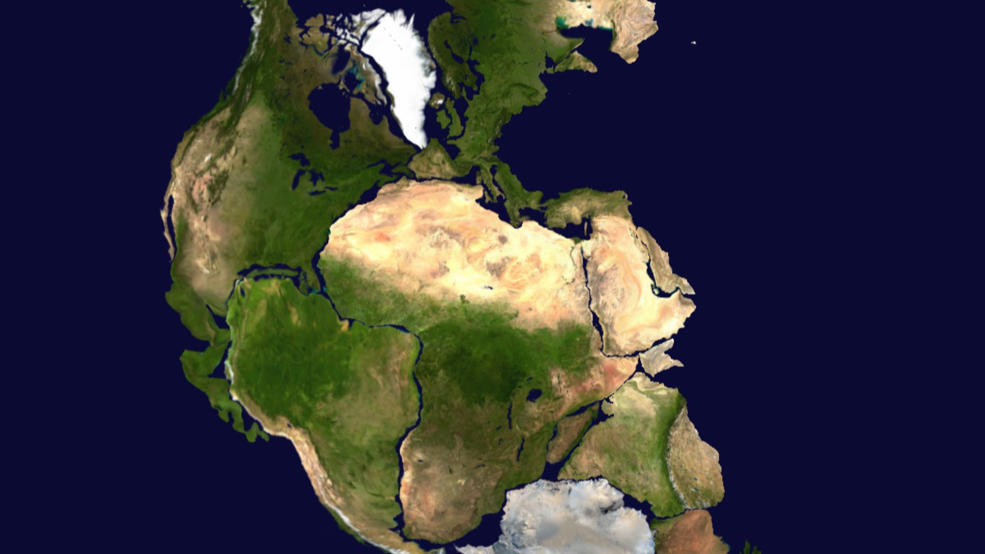
Long before the continents looked the way they do today, nearly all land on Earth was joined together into one giant supercontinent called Pangea. Pangea existed during the late Paleozoic and early Mesozoic eras, around 300 million years ago, and it wasn’t even the first one! By studying rocks, fossils, and physical patterns across the planet, scientists have been able to figure out how our land masses fit together and when they split apart.
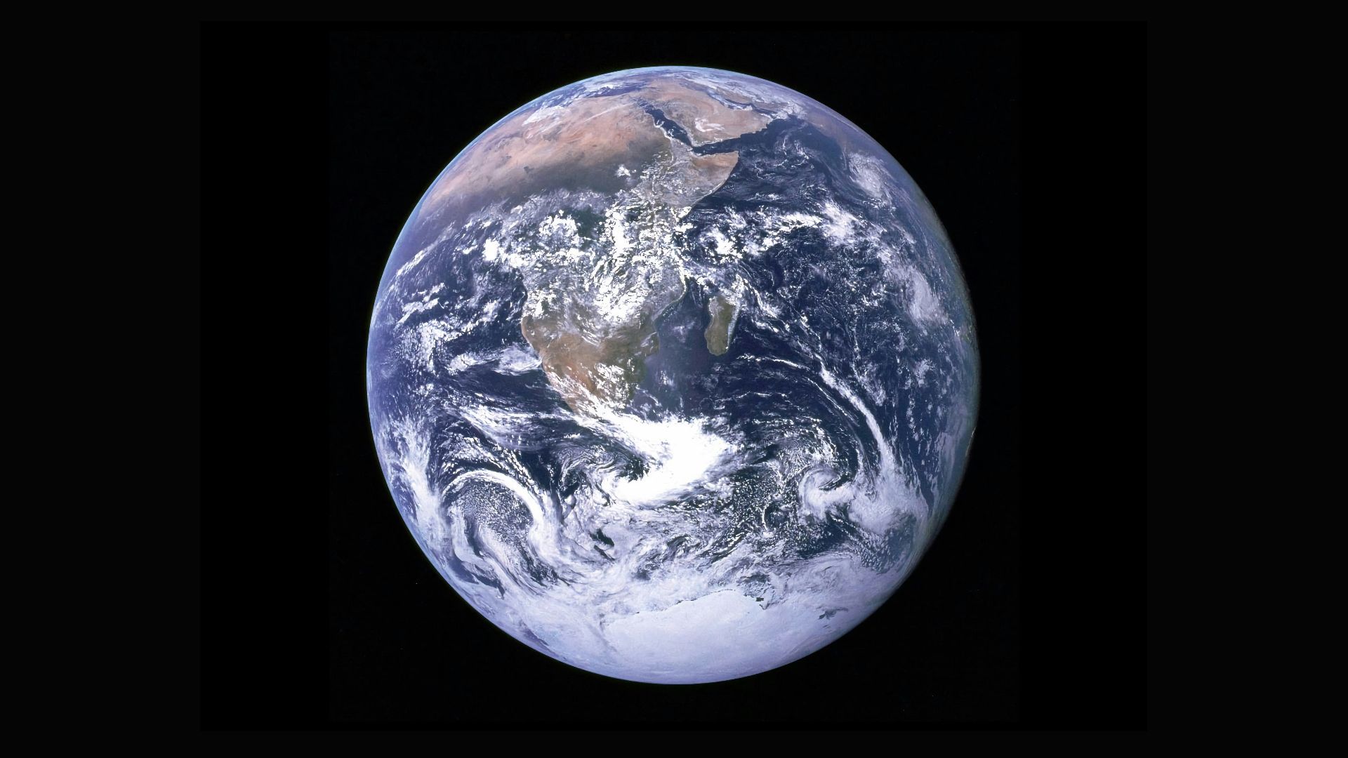
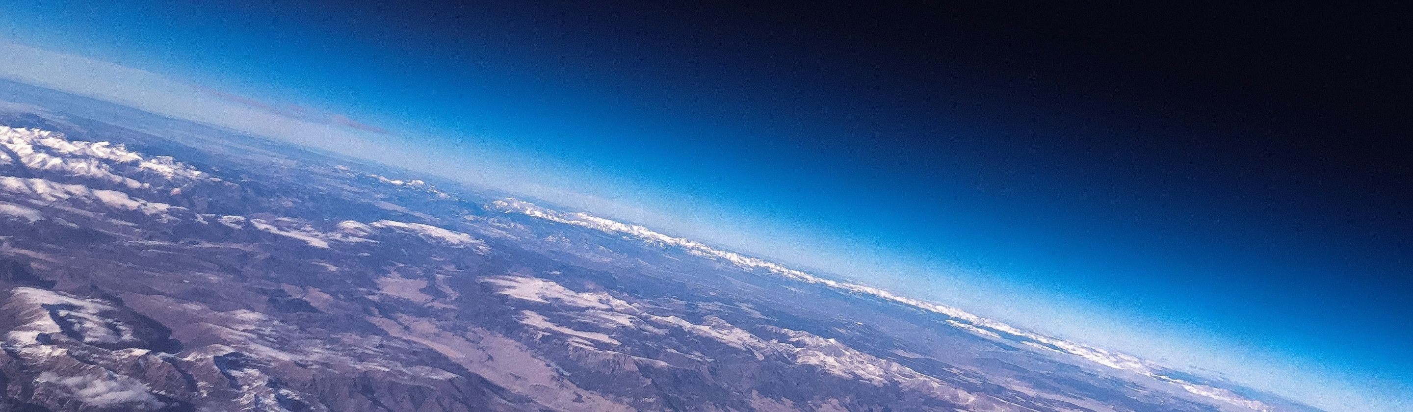
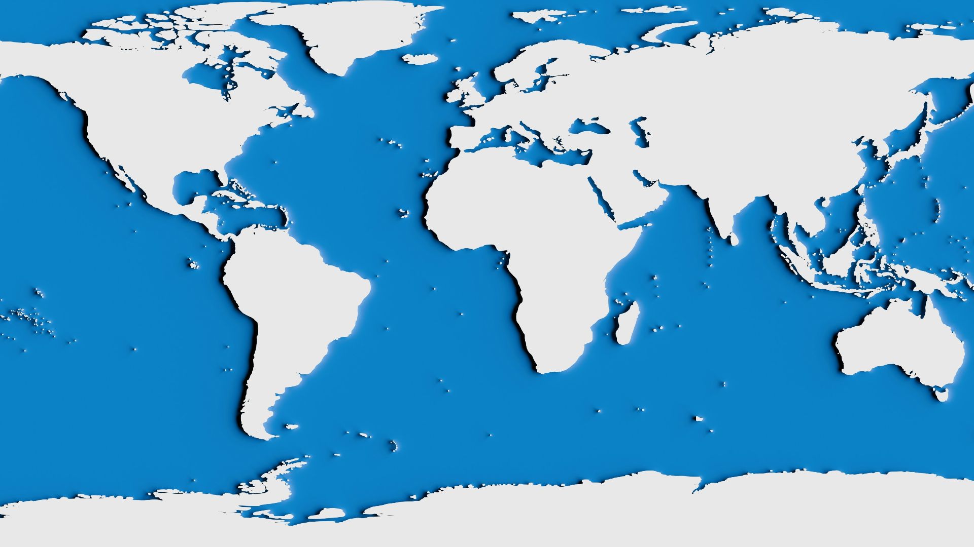
1. The Way Continents Fit Together
When you look at a world map, some continents appear as though they could fit together like puzzle pieces. South America’s east coast and Africa’s west coast are the clearest examples, with coastlines that closely match. With a little imagination, you can also see how the western North American coastline can easily be paired with Europe's. Regardless of anything else, playing puzzles with our tectonic plates is pretty strong evidence.
 Hartono Creative Studio on Unsplash
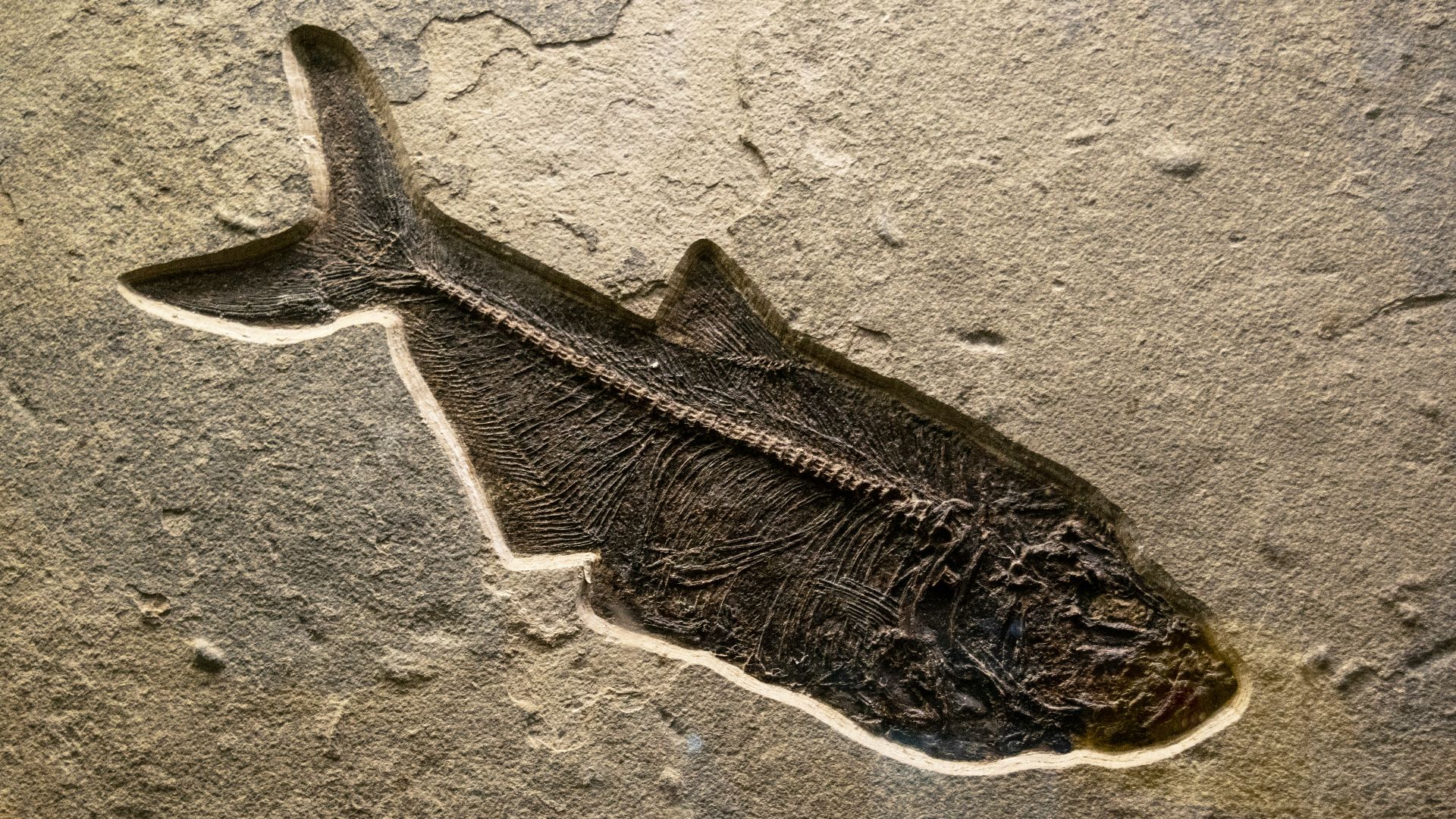
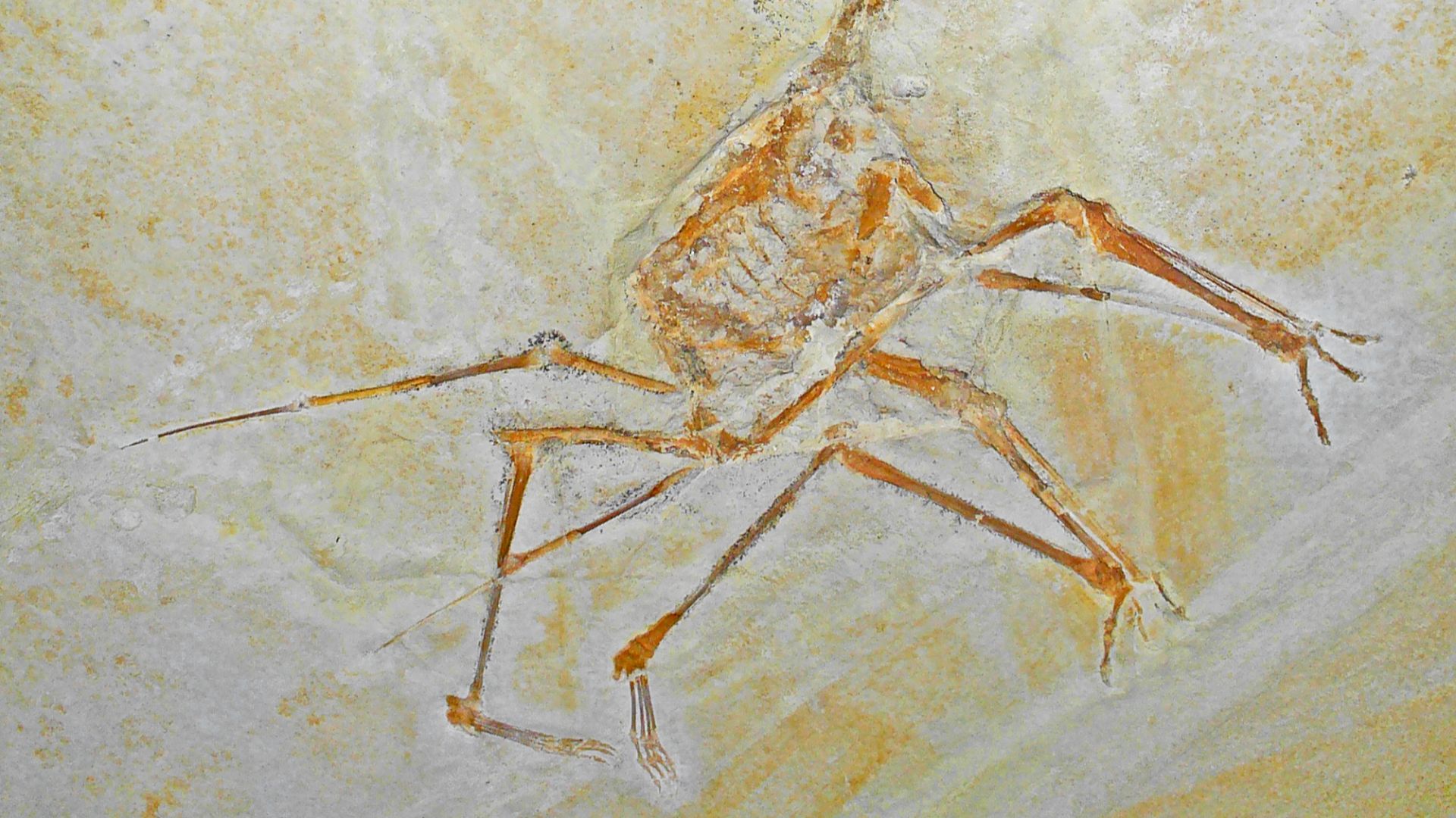
2. Same Fossils, Different Continents
Fossils of the same plants and animals are found on continents that are now separated by oceans. Some of these species lived only on land or in freshwater environments. Because they could not survive long ocean journeys, their remains show that the continents were connected when these organisms lived.
 Jacqueline Martinez on Unsplash
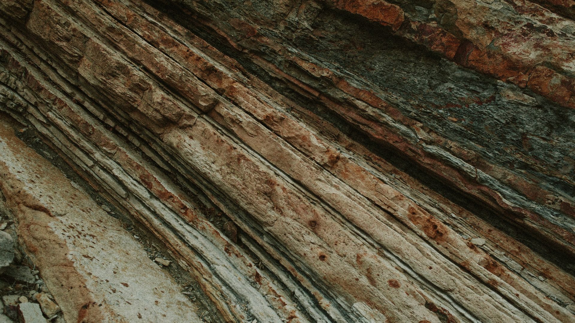
3. Rock Layers
Certain rock layers share the same age, structure, and chemical makeup across different continents. It became clear to scientists that we were definitely much closer back in the day, thanks to consistent, continuous bands of sediment that are separated by a whole ocean. At one point, some of these rock formations must’ve been roommates.
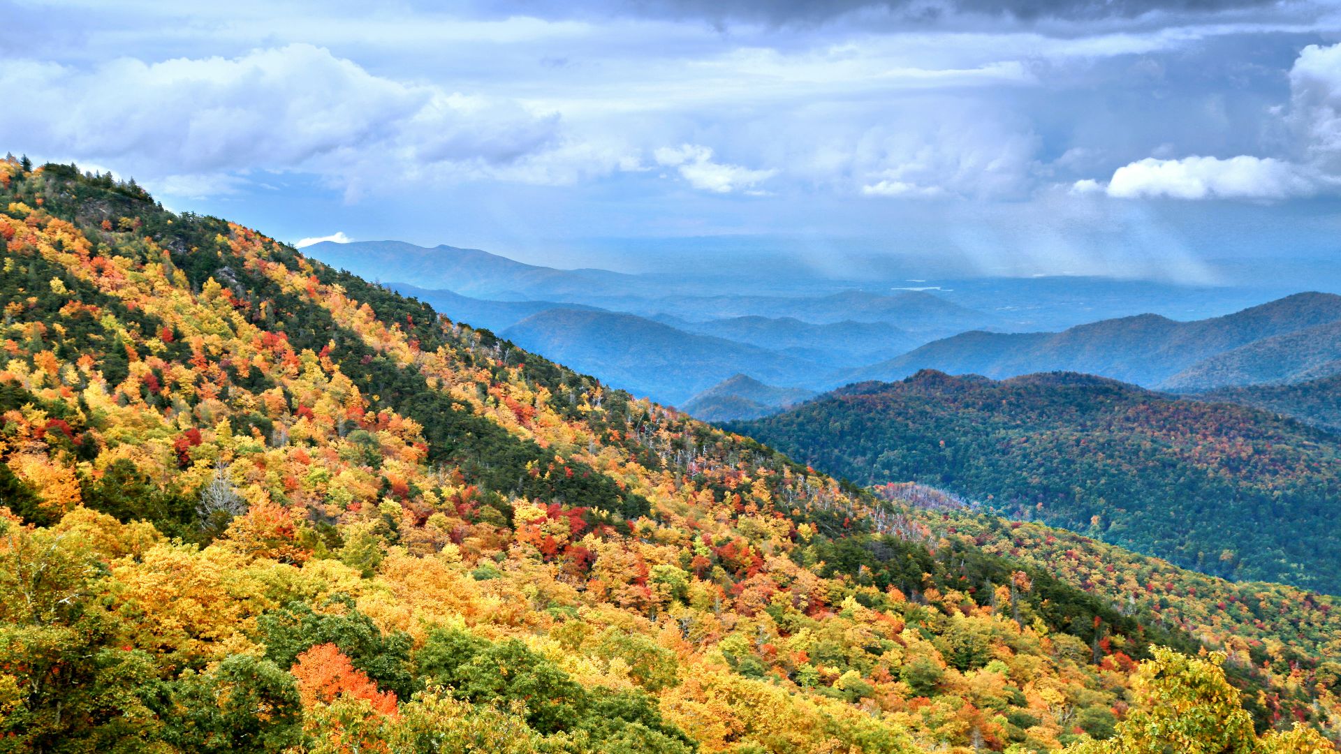
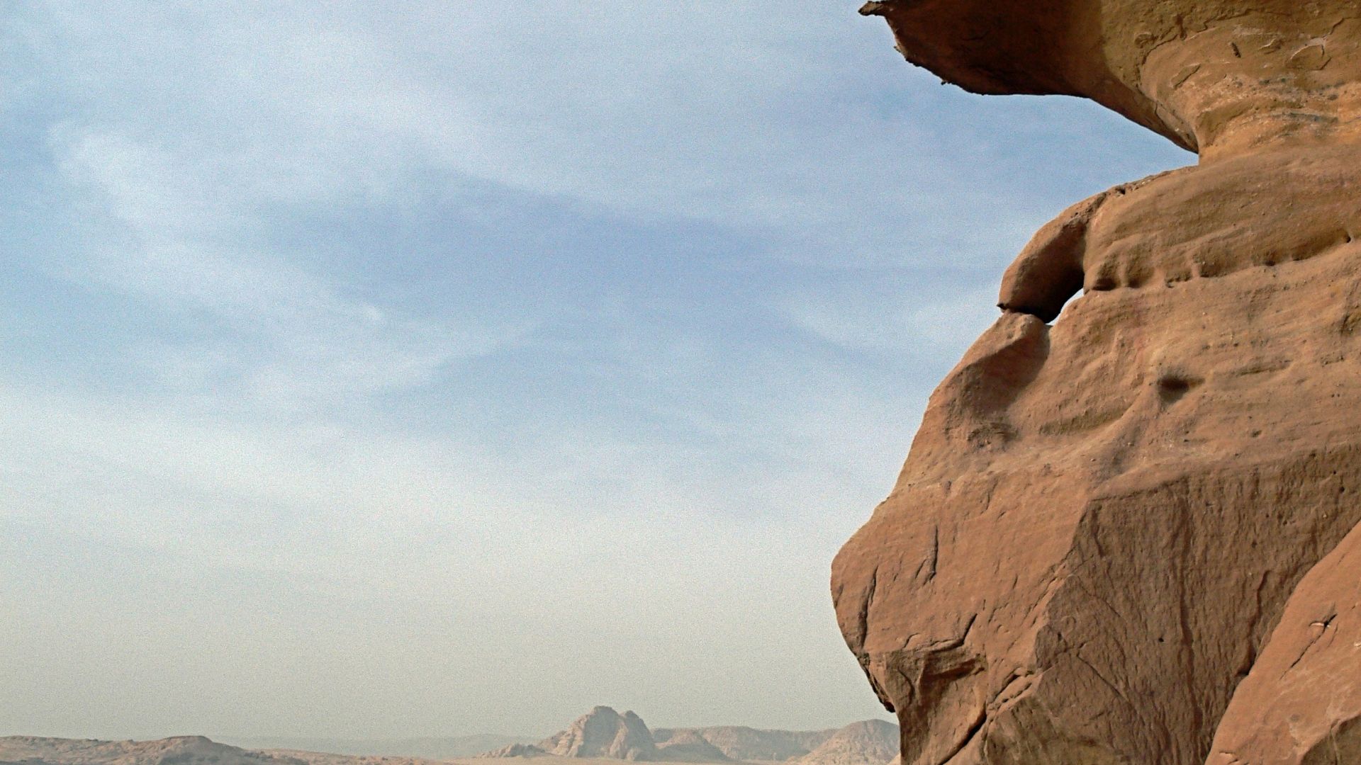
4. Mountain Chains
Some mountain ranges appear broken today, but line up perfectly when continents are reassembled. The Appalachian Mountains in North America match the Caledonian mountain ranges in Europe, as well as the Atlas Mountains in Africa. When puzzle pieces are pieced together, these seemingly three separate ranges actually make something called the “Central Pangean Mountains.”
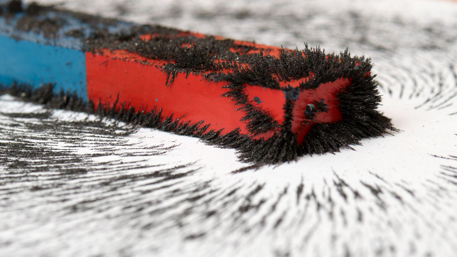
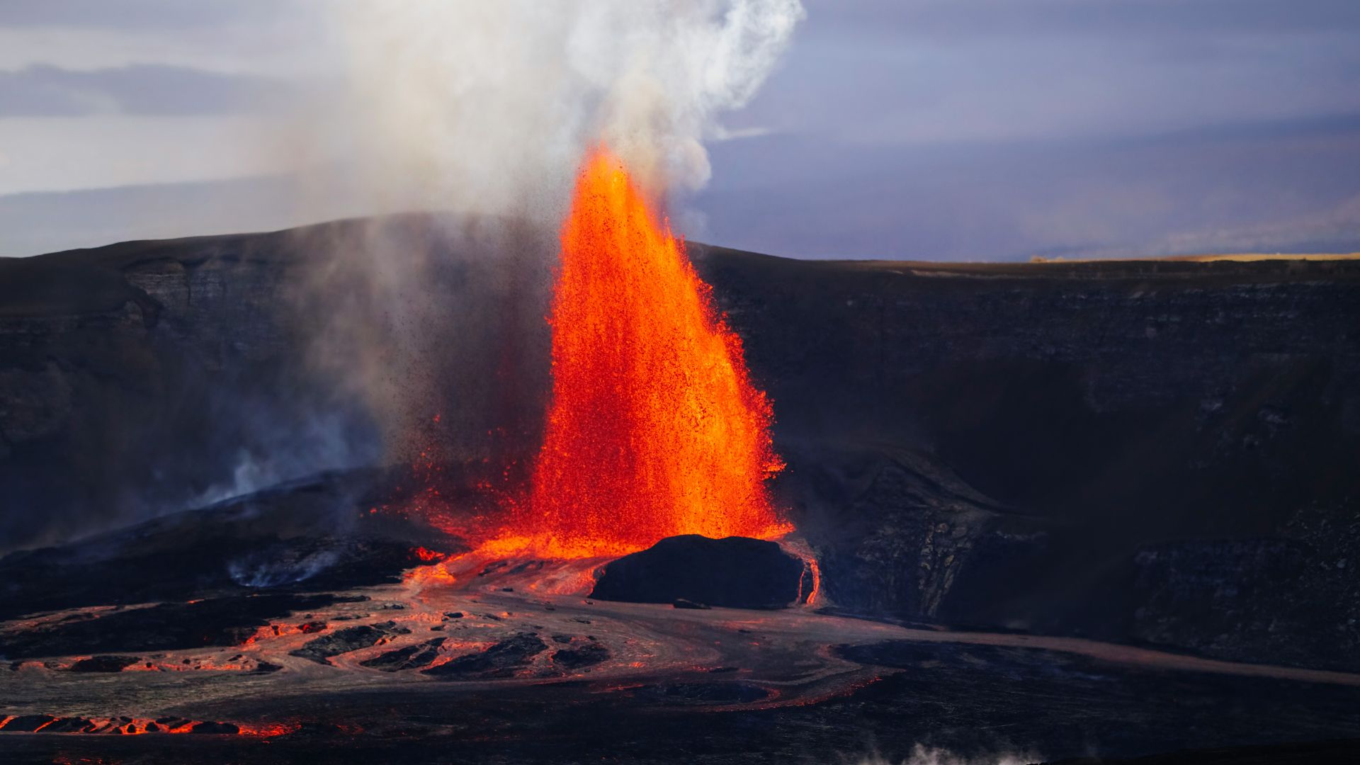
5. Magnetic Signals Locked Inside Rocks
As lava cools, tiny minerals inside it align with Earth’s magnetic field. These minerals align in the direction of Earth’s magnetic field, which is constantly changing. This field of geology is known as paleomagnetism. Scientists use this information to determine not only where continents were located, but also if and where the continents were once joined.
 Maciej J. Mrowinski on Wikimedia
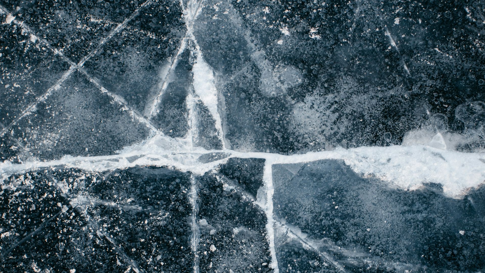
6. Ice Where It Shouldn’t Be
Rock surfaces in now-warm regions contain scratches made by moving glaciers. These marks show the direction ice once traveled across the land. When continents are placed into their assumed Pangea configuration, the glacier paths connect around the ancient South Pole.
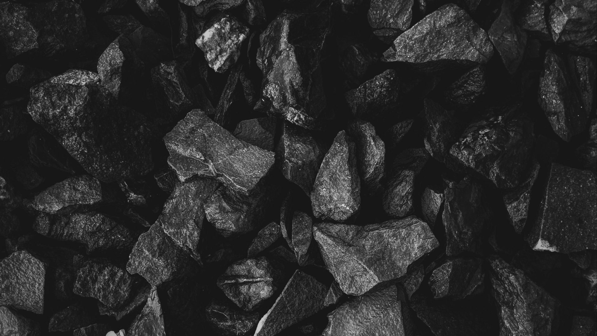
7. Coal In Unexpected Places
Coal forms from thick plant material in warm, wet environments like swamps, but coal deposits have been found in places such as Antarctica, a decidedly non-swampy area. Alongside other scientific studies, this tells us that Antarctica was definitely closer to the equator a couple of million years ago.
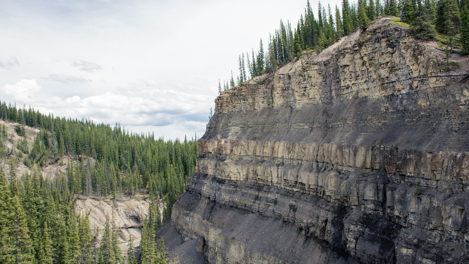
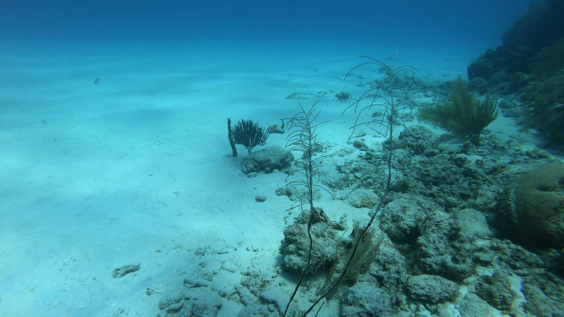
8. Sediment Layers
Sedimentary rocks form from layers of sand, mud, and shells over millions of years. Scientists have found matching sediment layers on continents now separated by oceans. These layers show that rivers, beaches, and shallow seas once stretched across a massive, connected land.
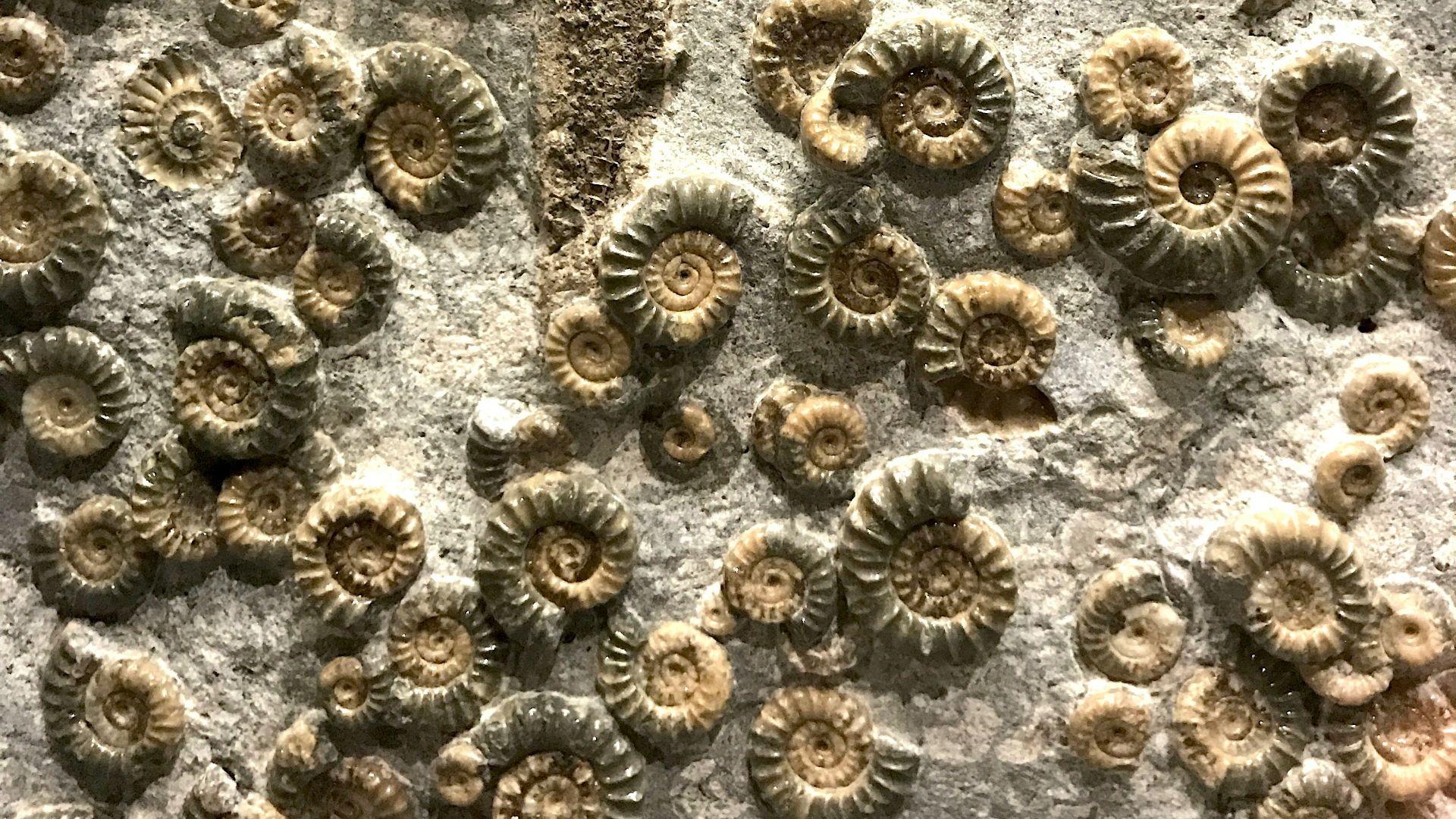
9. Teeny Tiny Fossils
Pollen and spores from ancient plants are preserved in rock layers around the world. They not only tell the story of a supercontinent, but also tell us how flora and fauna evolved, thanks to isolation or climate-related interactions.
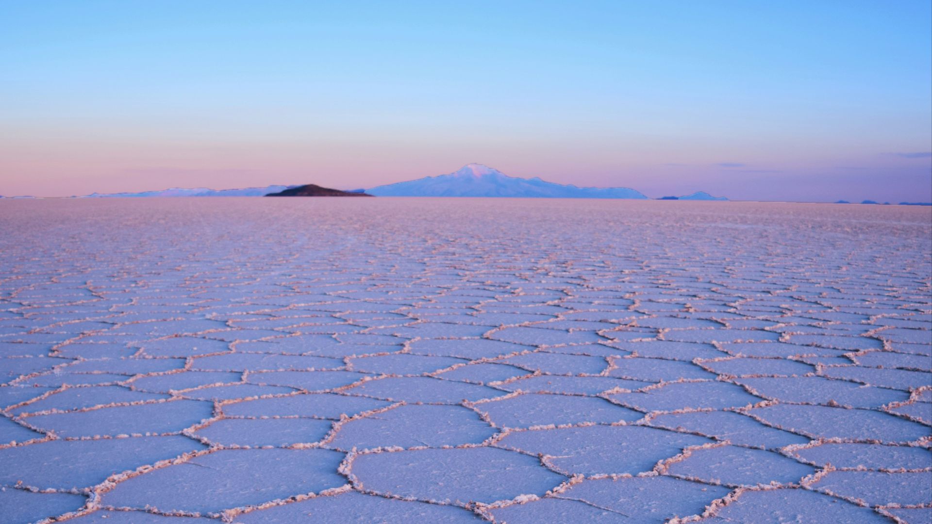
10. Evaporite Deposits
As our supercontinent began to splinter, rift basins began popping up across the giant land mass, which accumulated massive amounts of salt. While these basins eventually became the Atlantic Ocean, their early formation resulted in the salt flats we know today.
11. Collision Zones in the Earth’s Crust
When continents collide, they leave behind fault lines, also known as suture zones. These areas contain folded rocks and pieces of ancient ocean floor. Matching suture zones across continents shows where landmasses were once pressed together.
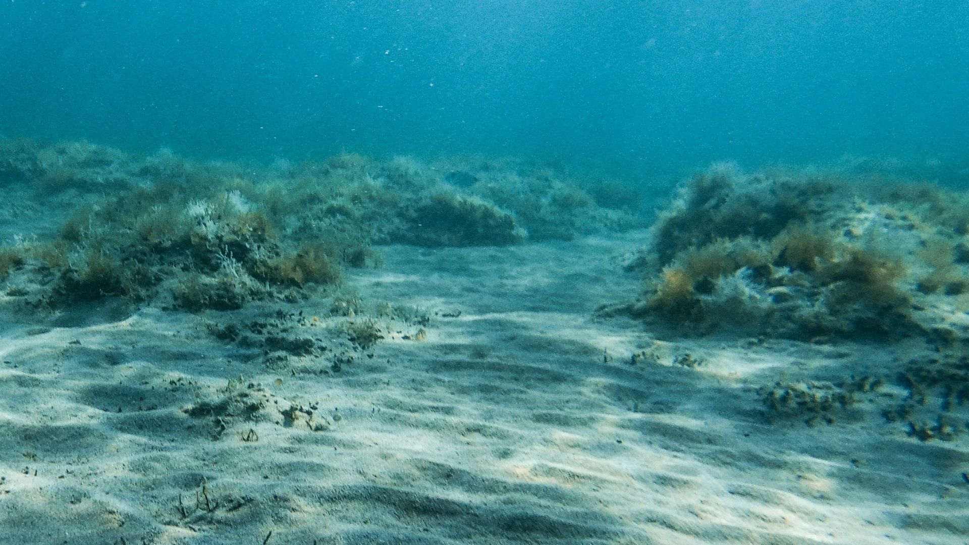
12. The Ocean Floor
The ocean floor is much younger than the continents, a spry 180 million years old. The ocean crust formed out of shifting tectonics and our steaming hot core, but didn’t get its chance to shine until the supercontinent decided it was time for a breakup.
13. Magnetic Stripes Beneath the Oceans
The ocean floor contains striped patterns caused by changes in Earth’s magnetic field. These stripes appear on both sides of mid-ocean ridges, which proves that new crust formed as continents drifted apart.
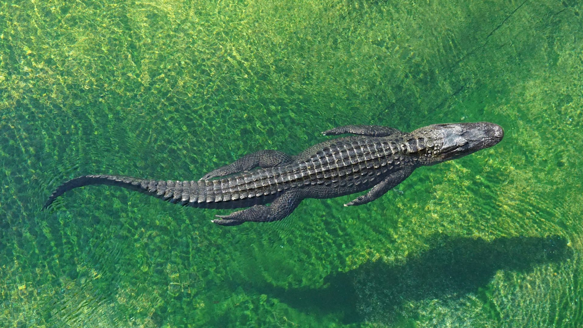
14. Related Animals
Animals on different continents sometimes share strong similarities in body structure and DNA. Scientists use these similarities to trace shared ancestors for crocodilians, primates, insects, and fish families that once shared a common space. Oh, and the dinosaurs, of course.
15. Climate-Specific Rocks
Some rocks form only in deserts, while others form in warm seas, but studies have discovered these rocks appearing in places where those climates no longer exist. When continents are reassembled, the climate patterns fit together.
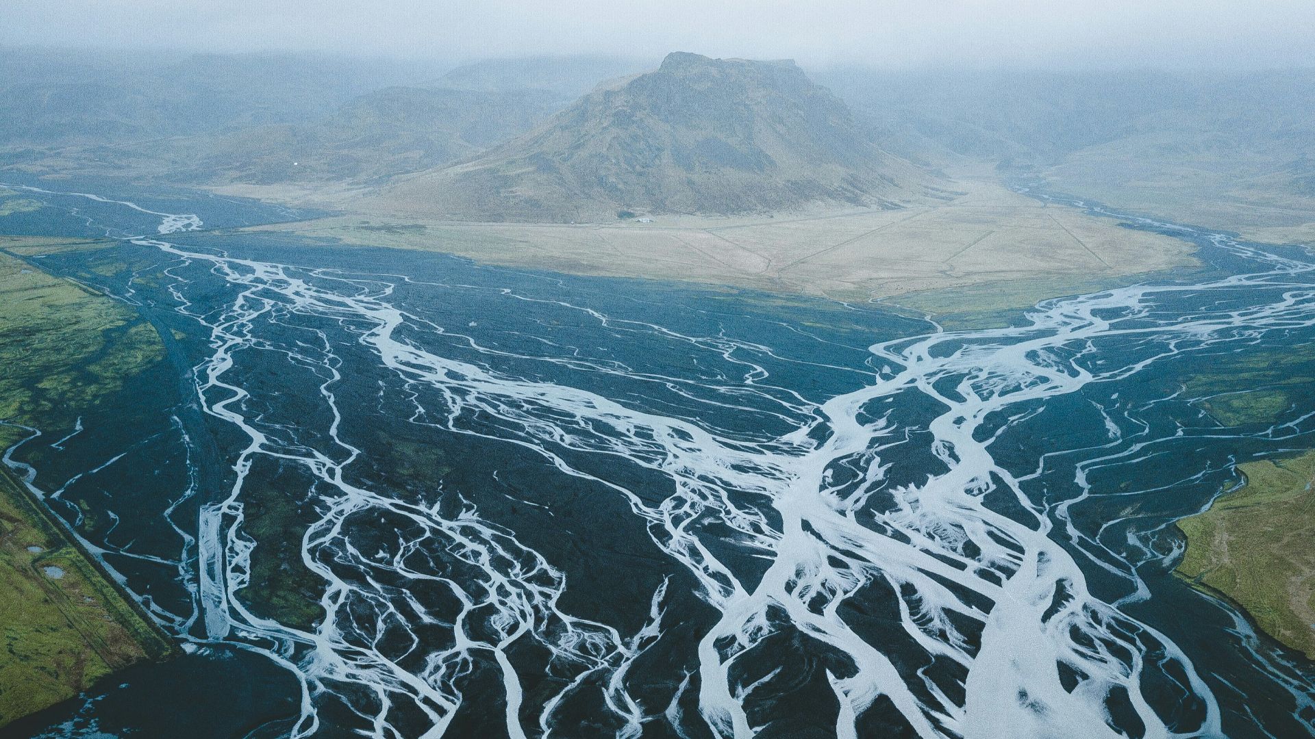
16. Clues Left by Ancient Rivers
Ancient rivers leave behind marks that show the direction water once flowed, which often have twins across the pond. While these rivers may no longer exist, their lasting history can tell us so much about how and where we were connected.
17. Zircon Crystals
Zircon crystals preserve chemical details about their origin and age, and matching zircons have been found in rocks on different continents. Zircons can even tell us what the Earth looked like before Pangea, with certain deposits being around 4.4 billion years old.
18. Deep Earth Images of Old Plates
Scientists use earthquake waves to look deep inside Earth’s mantle. These images show pieces of ancient tectonic plates still buried below. Their locations match known collision zones from Pangea’s formation.
19. Fossil Layers
Fossils appear in the same sequence within rock layers across the world. This shows events that occurred at the same time on different continents, which support a shared geological history.
20. Computer Models
Scientists combine all this evidence using computer models. These models recreate how continents moved over time. With these supercomputers, we know what happened before and after Pangea, and even what our Earth will look like a couple of million years from now.
KEEP ON READING

The story of Ching Shih, the Woman Who Became the…
Unknown author on WikimediaFew figures in history are as feared…
By Emilie Richardson-Dupuis Dec 29, 2025
Einstein's Violin Just Sold At An Auction—And It Earned More…
A Visionary's Violin. Wanda von Debschitz-Kunowski on WikimediaWhen you hear…
By Ashley Bast Nov 3, 2025
This Infamous Ancient Greek Burned Down An Ancient Wonder Just…
History remembers kings and conquerors, but sometimes, it also remembers…
By David Davidovic Nov 12, 2025
The Mysterious "Sea People" Who Collapsed Civilization
3,200 years ago, Bronze Age civilization in the Mediterranean suddenly…
By Robbie Woods Mar 18, 2025
20 Chilling Cases of Mass Hysteria Throughout History
When the Mind Goes Viral. Mass hysteria, now more commonly…
By Christy Chan Apr 24, 2026
20 Soldiers Who Defied Expectations
Changing the Rules of the Battlefield. You’ve probably heard plenty…
By Annie Byrd Feb 10, 2026