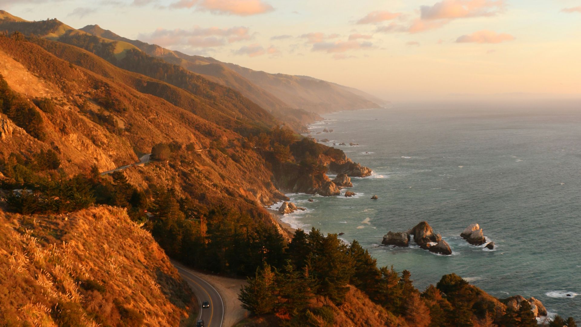
10 Accidental Discoveries That Changed Maps & 10 That Changed How We Understand the World
10 Accidental Discoveries That Changed Maps & 10 That Changed How We Understand the World
Mistakes That Mattered
A lot of major discoveries did not begin with a clear plan or a clean success. People set out to find one thing, took a wrong turn, noticed an odd detail, or realized that a failed attempt had revealed something bigger. That is true in geography, where explorers often changed maps by misjudging distance or chasing the wrong route. It is just as true in science, where some of the most important breakthroughs came from mistakes, contamination, or plain surprise. Here are 10 accidental discoveries that changed maps, and 10 that changed science.
1. The Americas
Christopher Columbus set out to reach Asia by sailing west across the Atlantic. Instead, he landed in the Caribbean and opened the door to a geographic reality Europeans had not yet grasped. Even before they fully understood what he had found, maps had already started to change.
 Ridolfo del Ghirlandaio on Wikimedia
2. The Pacific Ocean
Vasco Núñez de Balboa crossed the Isthmus of Panama in 1513 while pursuing local reports of wealth and another sea beyond the mountains. What he found was the Pacific Ocean, seen from the Americas by Europeans for the first time. That discovery made it clear that the newly encountered lands were not the edge of Asia.
 Anonymous (Spain)Unknown author after a 18th-century engraving on Wikimedia
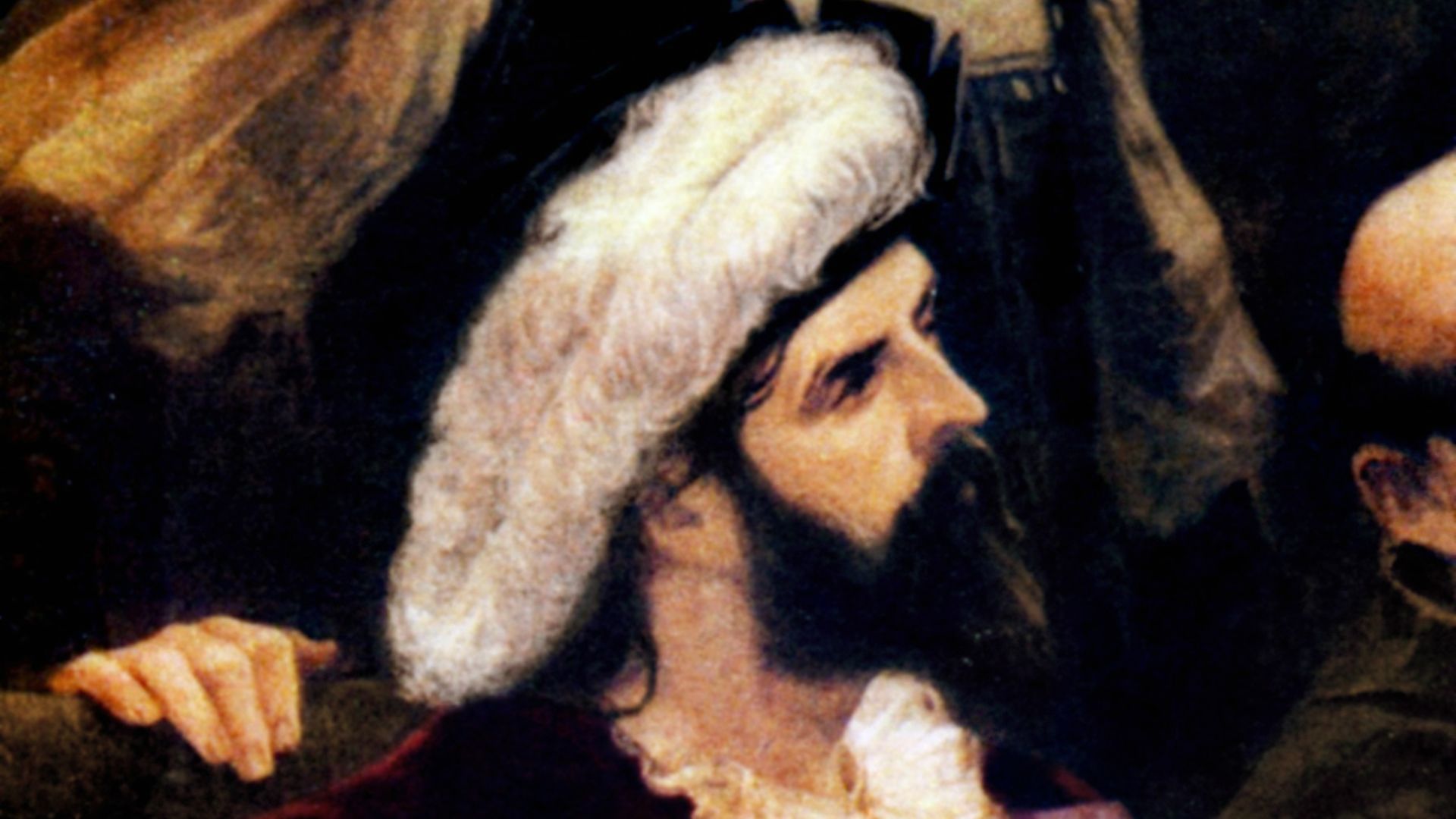
3. Newfoundland And The Grand Banks
John Cabot was also looking for a route to Asia when he reached the North American coast in 1497. In the process, European navigators became aware of the rich fishing grounds of the Grand Banks. That changed commercial maps as much as political ones, because suddenly the North Atlantic mattered in a new way.
 Giustino Menescardi on Wikimedia
4. Brazil
Pedro Álvares Cabral was sailing to India by following the Portuguese route around Africa. His fleet veered far west into the Atlantic and made landfall on the coast of present-day Brazil in 1500. What may have begun as a navigational drift ended with Portugal claiming a huge part of South America.
 Aurélio de Figueiredo on Wikimedia
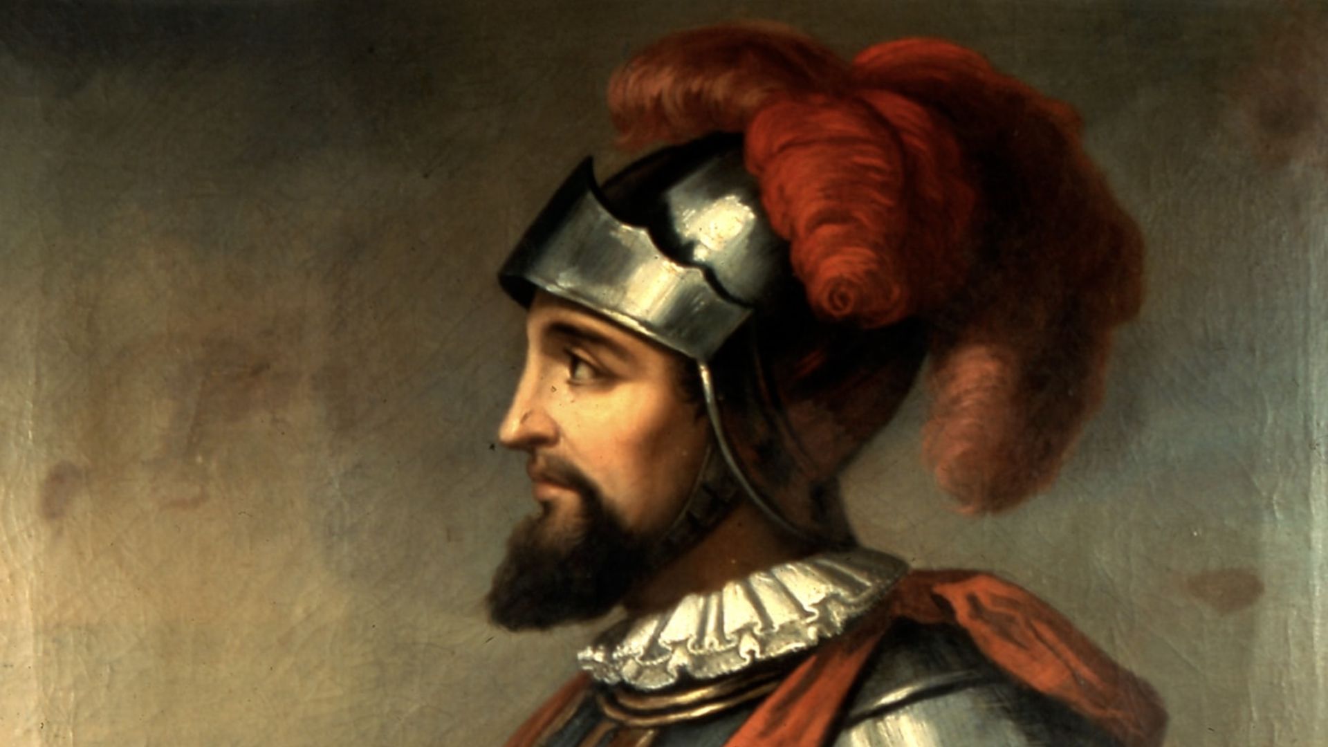
5. The Strait Of Magellan
Ferdinand Magellan was searching for a western route to the Spice Islands. In 1520, his expedition found a navigable passage at the southern tip of South America. That accidental gain gave mapmakers a far better sense of the continent’s true shape and the scale of the Pacific beyond it.
 Unknown authorUnknown author on Wikimedia
6. Australia’s East Coast
James Cook’s first Pacific voyage was officially focused on observing the transit of Venus in Tahiti. After that, he continued west and charted New Zealand and the east coast of Australia in detail. A mission tied to astronomy ended up changing maps of the South Pacific.
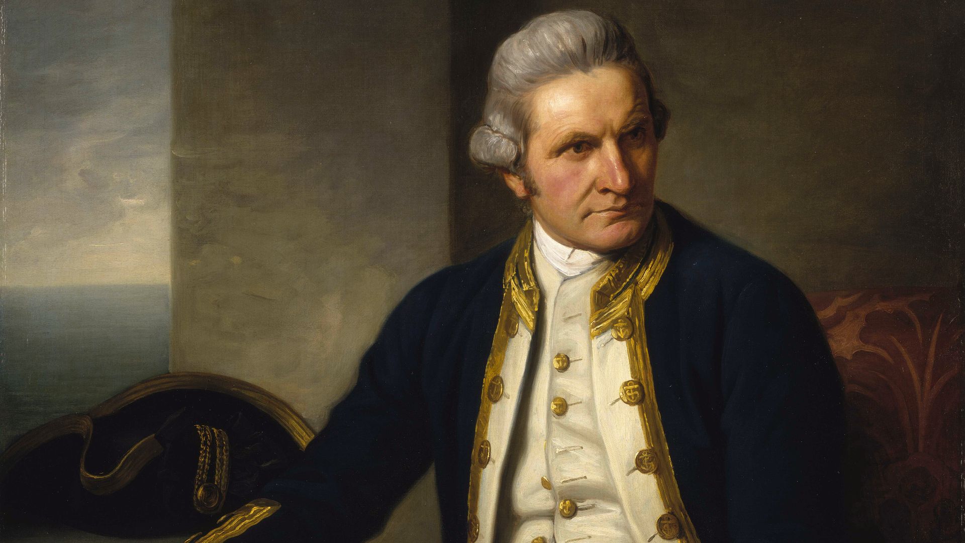 Nathaniel Dance-Holland on Wikimedia
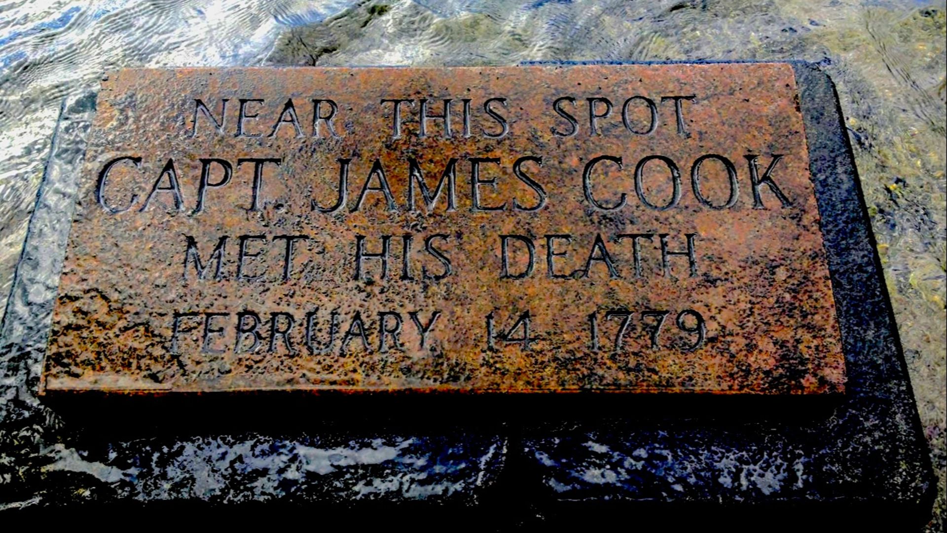
7. The Hawaiian Islands
British explorer James Cook was not searching for Hawaii when he landed there in 1778. He encountered the islands while sailing across the Pacific during a voyage aimed at exploration and route-finding in the North Pacific. Their appearance on European maps changed Pacific navigation and later imperial strategy.
 Gillfoto - https://commons.wikimedia.org/wiki/User:Gillfoto on Wikimedia
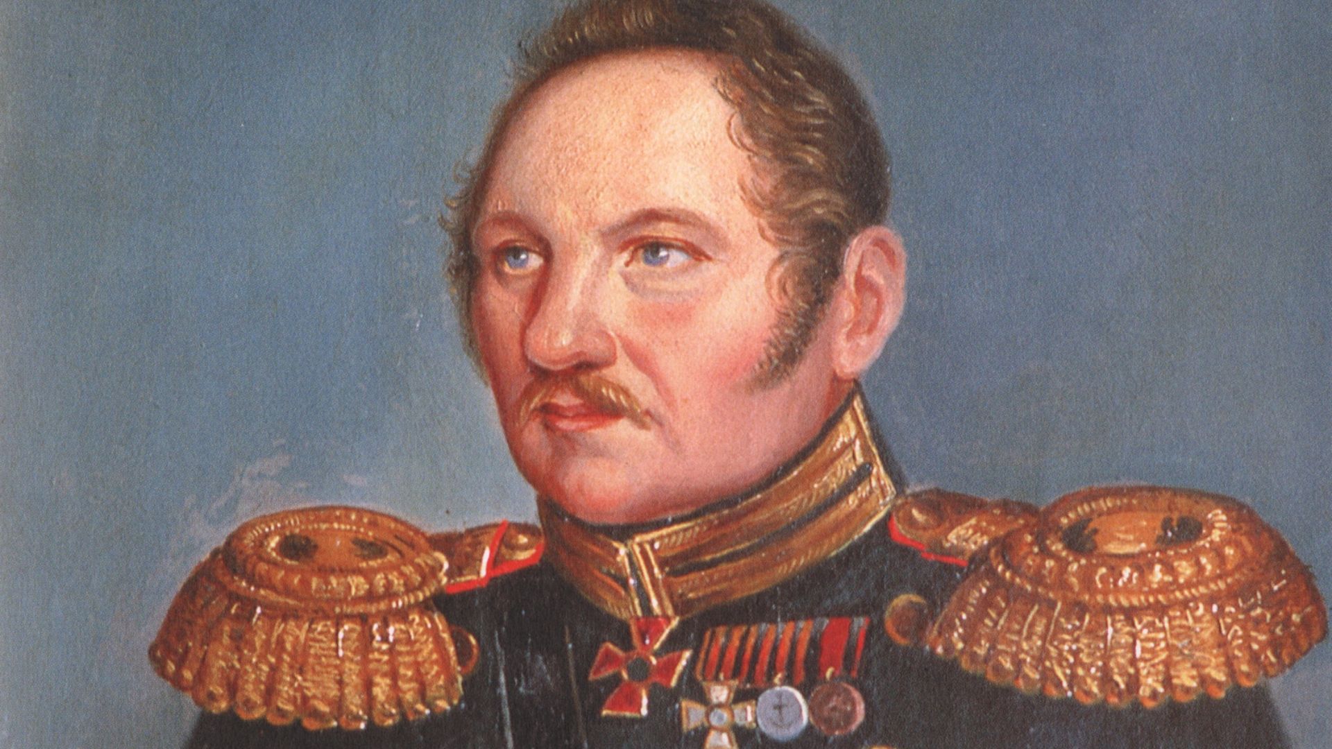
8. Antarctica
Early 19th-century sailors in southern waters were often pursuing sealing routes, trade, or exploration rather than a confirmed continent. Yet those voyages led to the first sightings of Antarctica by Fabian Gottlieb von Bellingshausen, Edward Bransfield, and others. What had long been speculation on maps became a real landmass with a real outline.
 unidentified artist on Wikimedia
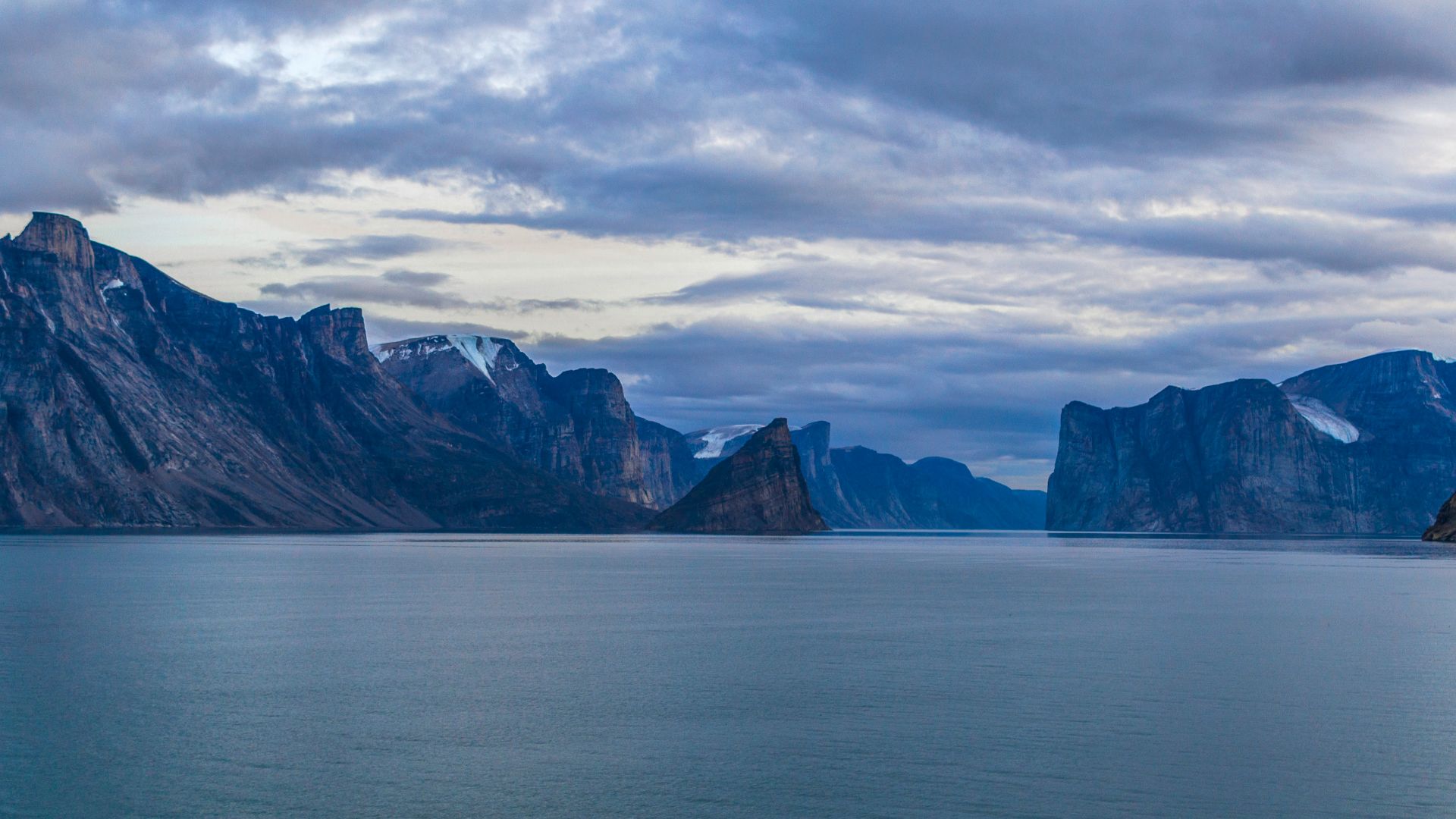
9. The Northwest Passage Reality
Many expeditions set out convinced they would find a practical sea route through the Arctic to Asia. Instead, repeated failures gradually revealed the actual coastline, islands, and ice conditions of the Canadian Arctic. The passage was not the commercial shortcut people hoped for, but the search filled in some of the most uncertain parts of the map.
 Hector John Periquin on Unsplash
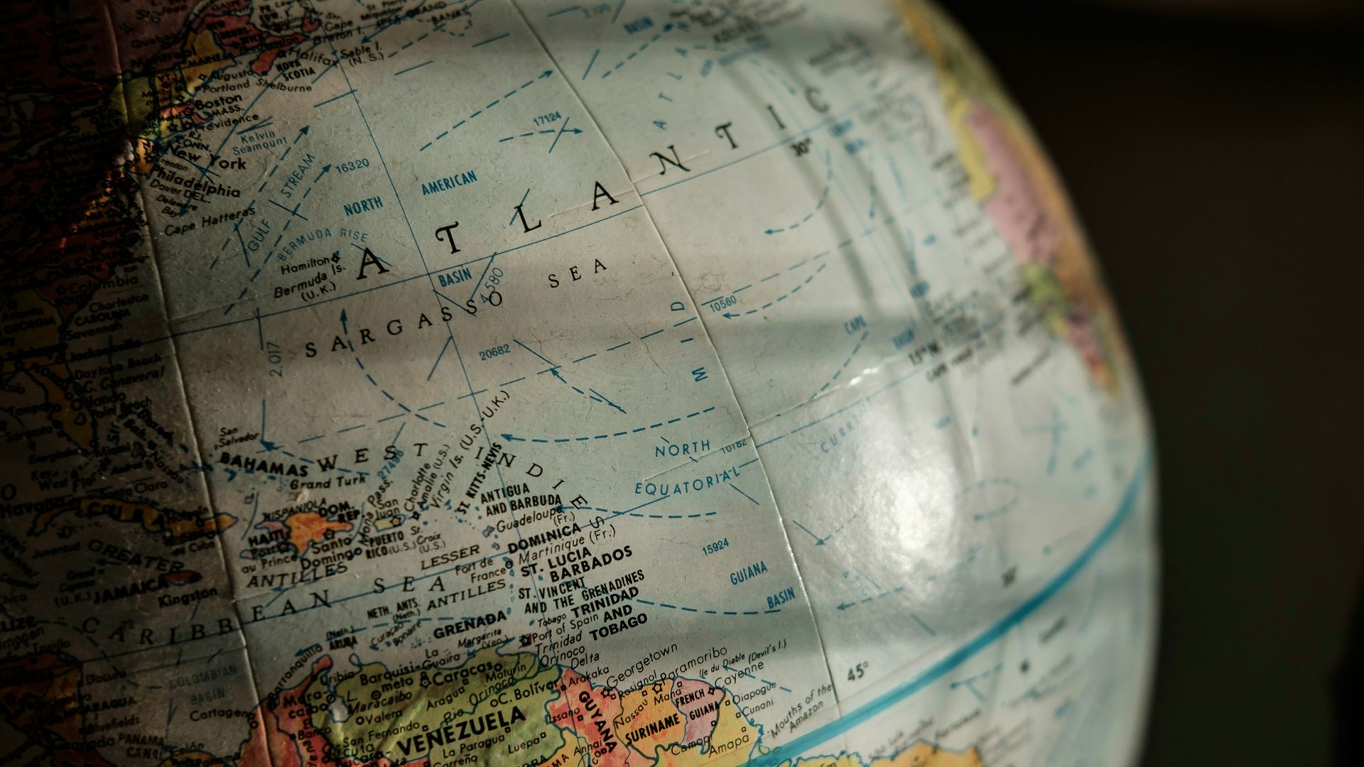
10. California Not Being An Island
For decades, many European maps showed California as an island. That error came from bad reports, repeated assumptions, and the tendency of mapmakers to copy one another. Later expeditions corrected the mistake, and that correction mattered because it changed how Europeans understood western North America.
And now, here are ten ways early exploration changed how we understand the world.
1. Longitude At Sea
For a long time, sailors could figure out latitude, but longitude was guesswork. The breakthrough came through repeated failures and observations about timekeeping, eventually leading to John Harrison’s marine chronometer. It changed exploration by making long-distance navigation far more accurate and far less deadly.
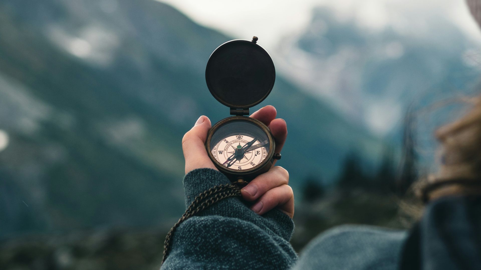
2. The Compass In Open Water
Early compasses were known in China, but their use at sea spread more through practice than theory. Sailors noticed how magnetized needles behaved and started trusting them beyond sight of land. That shift changed exploration by making open-ocean travel possible in a consistent way.
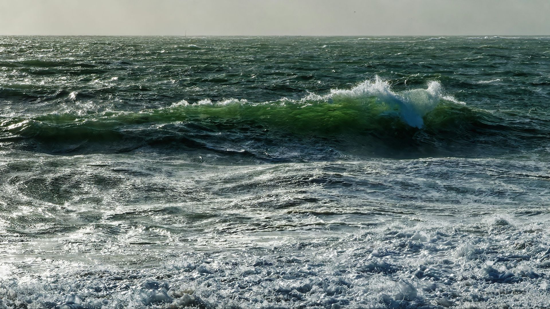
3. Trade Winds And Ocean Currents
Sailors did not map global wind systems from a desk. They stumbled into them, noticed patterns, and adjusted routes over time. Those accidental lessons shaped global trade routes and connected continents in ways that maps alone never could.
4. The True Size Of The Earth
Early explorers consistently misjudged distance, sometimes by a lot. Repeated voyages, failed crossings, and longer-than-expected journeys forced a correction. That slow realization changed how people understood scale, distance, and what it meant to cross an ocean.
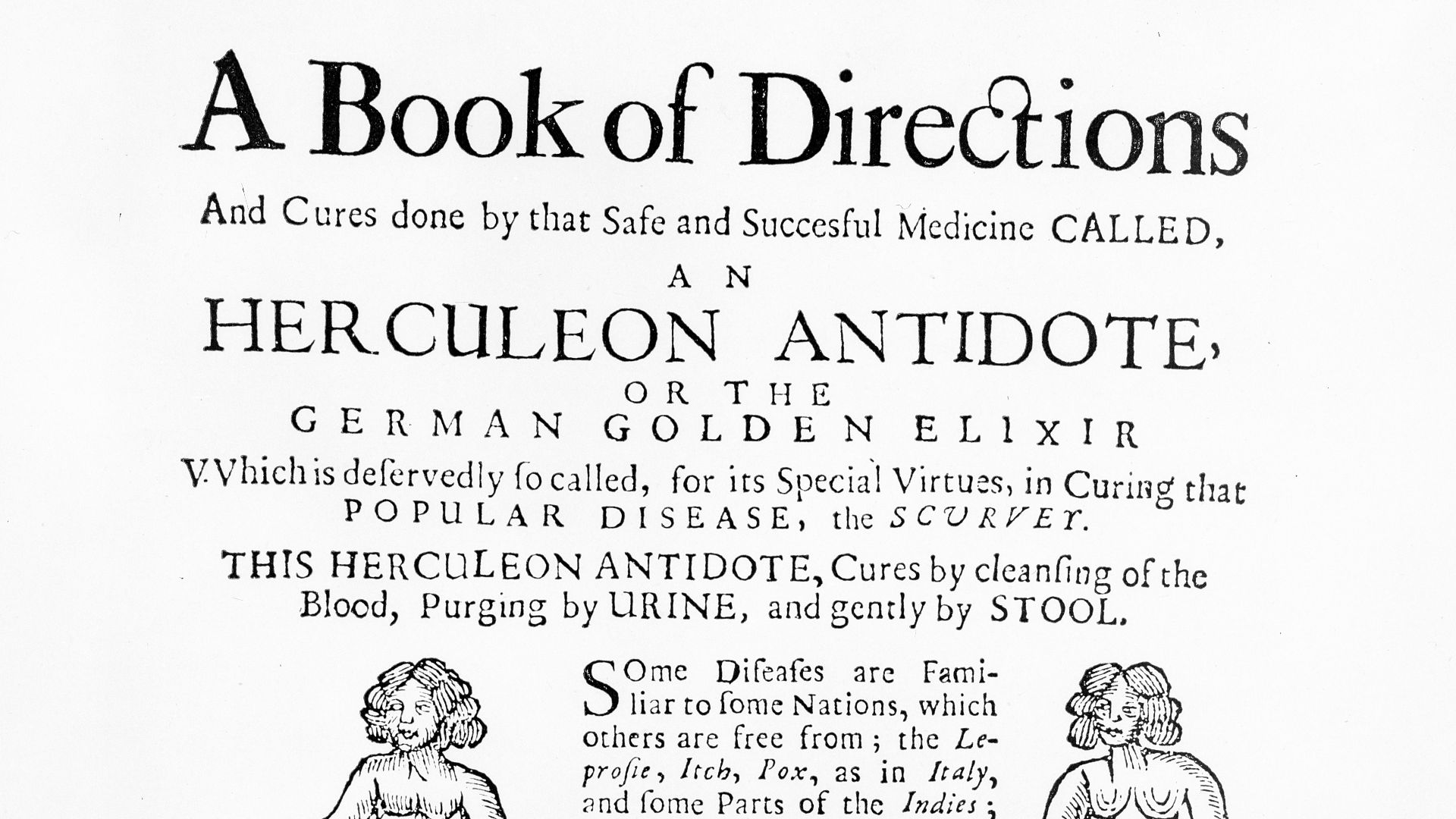
5. The Nature Of Scurvy
Sailors knew something was killing crews on long voyages, but they did not understand why. Through trial, accident, and inconsistent remedies, it became clear that certain foods prevented it. That discovery made long-distance exploration sustainable in a way it had never been before.
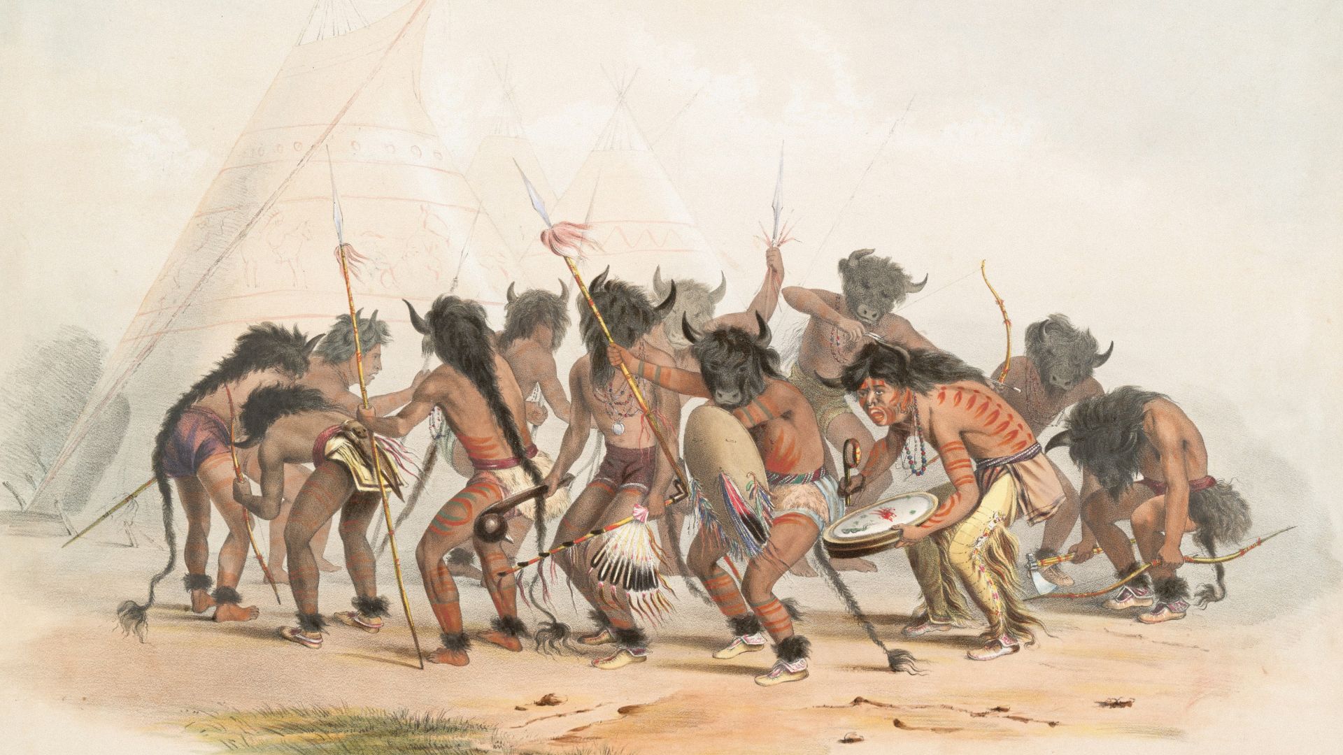
6. Indigenous Navigation Knowledge
European explorers often thought they were discovering new routes, but many of those paths were already known. Encounters with Indigenous navigators revealed sophisticated systems of reading stars, currents, and land signals. That exchange reshaped how outsiders understood navigation and the depth of existing knowledge.
 The New York Public Library on Unsplash
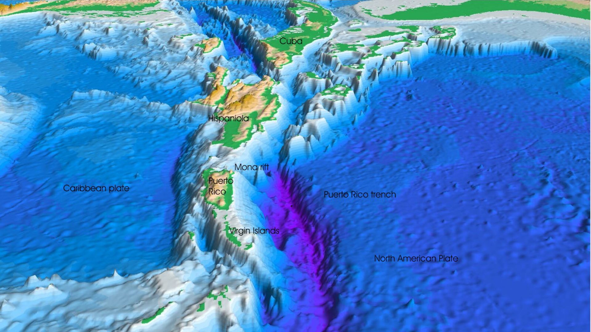
7. Sonar And The Seafloor
Sonar developed from efforts to detect submarines, not map the ocean floor. But once it was in use, it revealed underwater mountains, trenches, and ridges no one had clearly seen before. That changed how we understood the shape of the planet beneath the water.
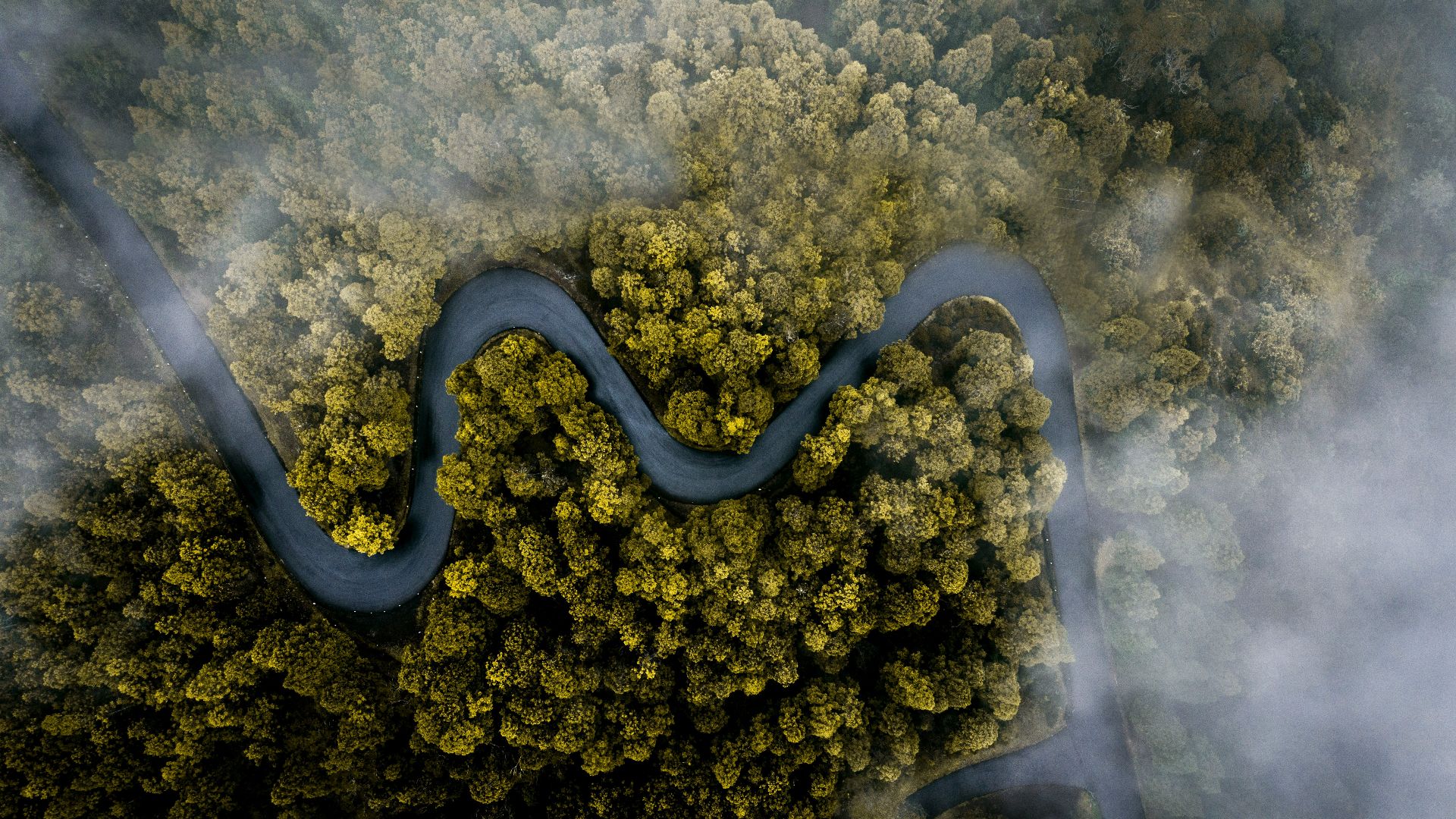
8. Aerial Photography
Early aerial photos were often taken for military or experimental reasons, not mapping. But once people saw the results, it became clear how much detail could be captured from above. That shifted mapping from ground-based estimation to something far more precise.
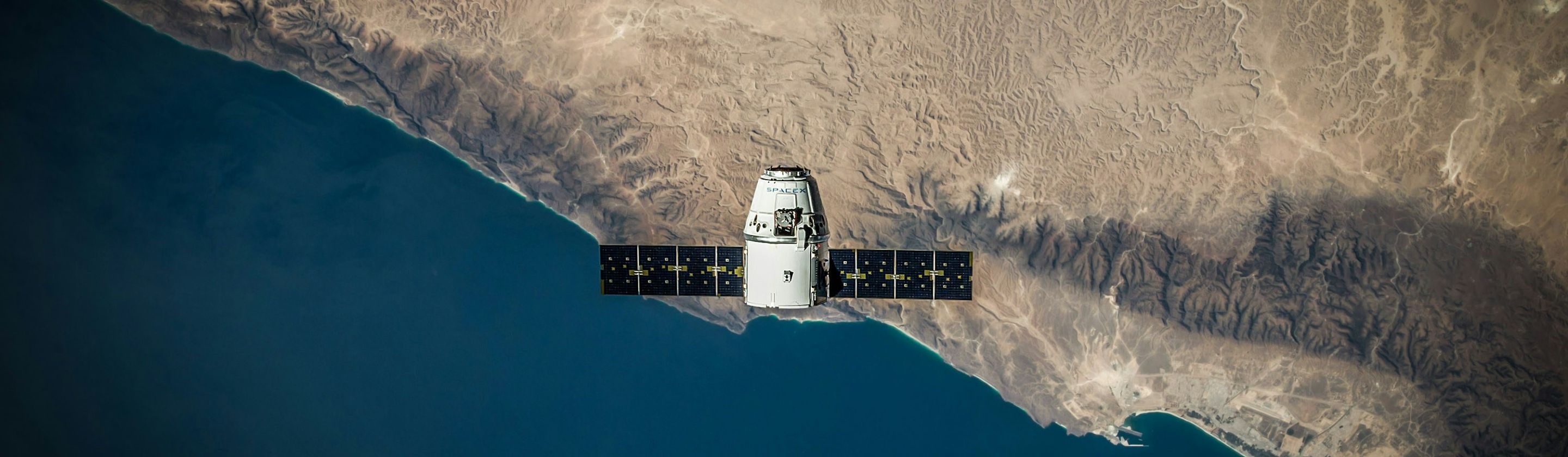
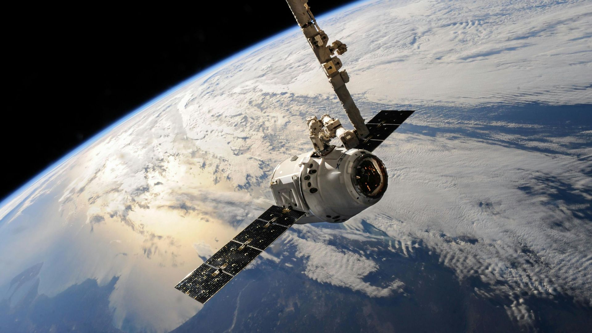
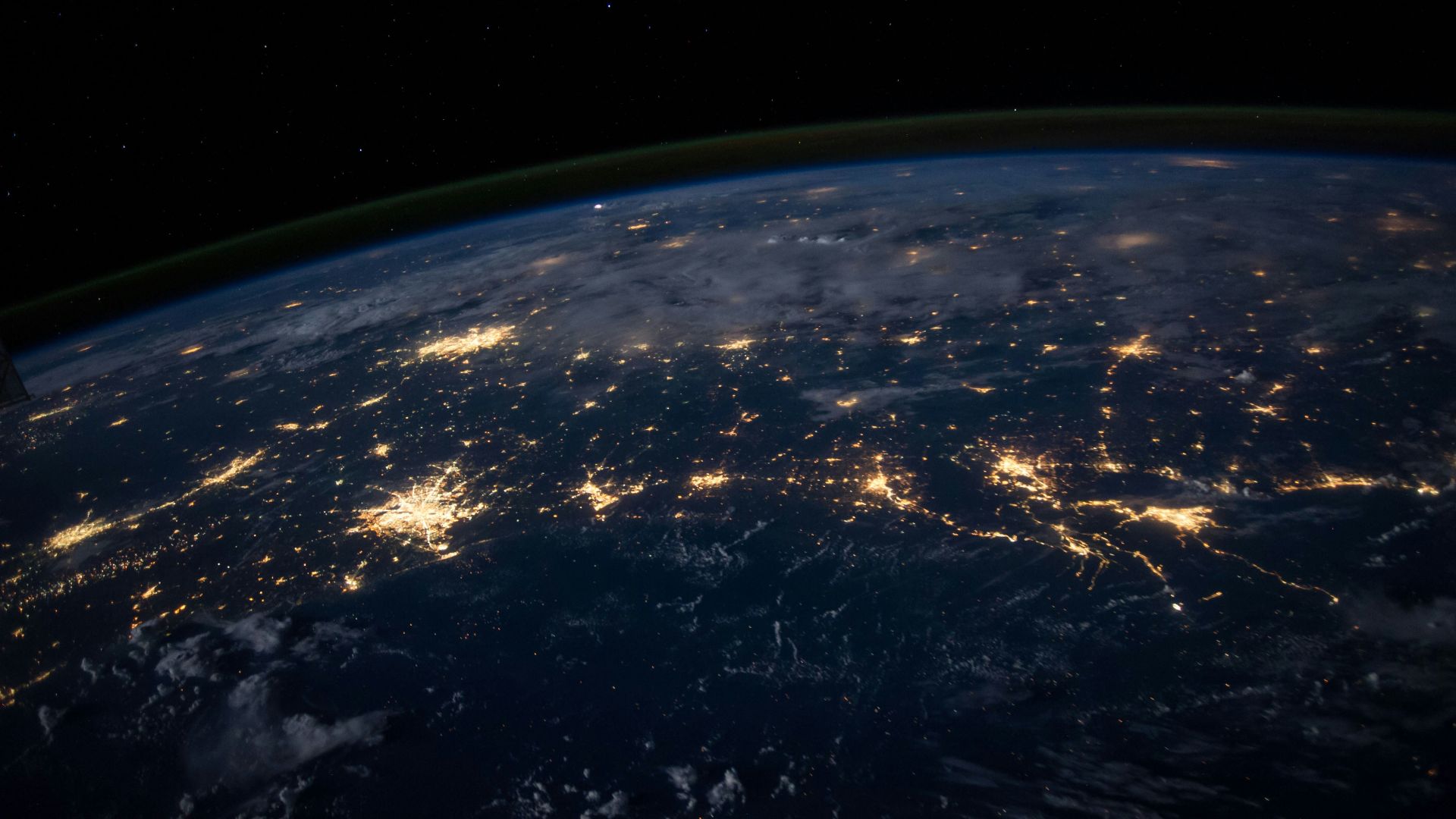
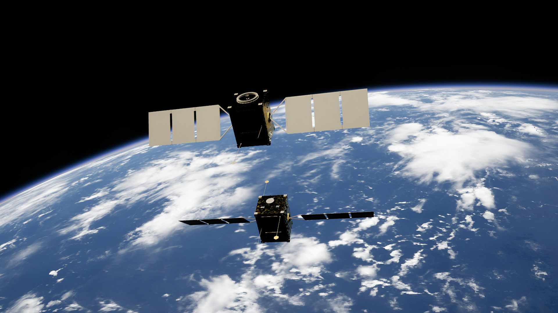
9. Satellite Imaging
The first satellites were not launched to improve everyday maps. But the images they sent back changed everything, from geography to weather tracking. Suddenly, the planet could be seen as a whole, not just in pieces.
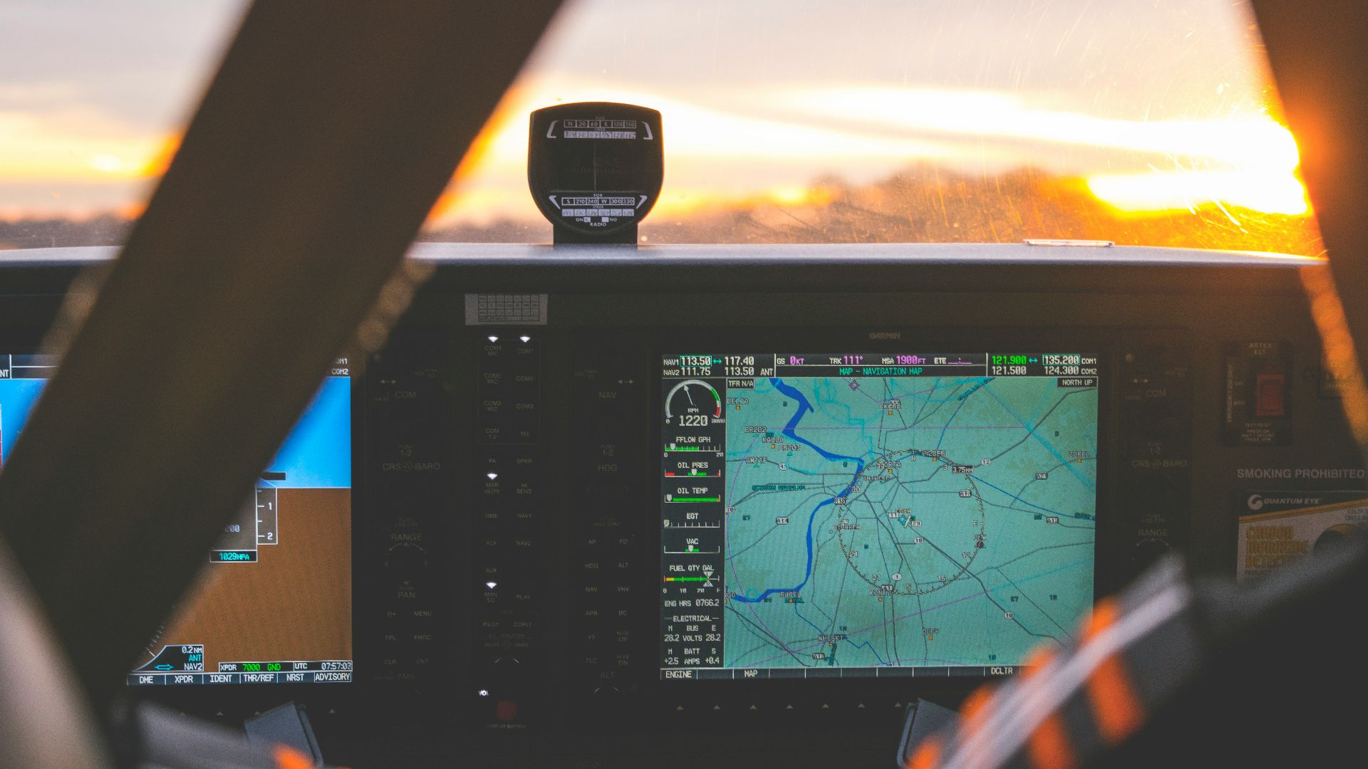
10. GPS Accuracy
GPS began as a military system, and early users noticed small timing errors that seemed like flaws. Those quirks led to deeper understanding of relativity and time distortion in orbit. Fixing them made global positioning incredibly precise, changing navigation, travel, and how we move through the world.
KEEP ON READING