

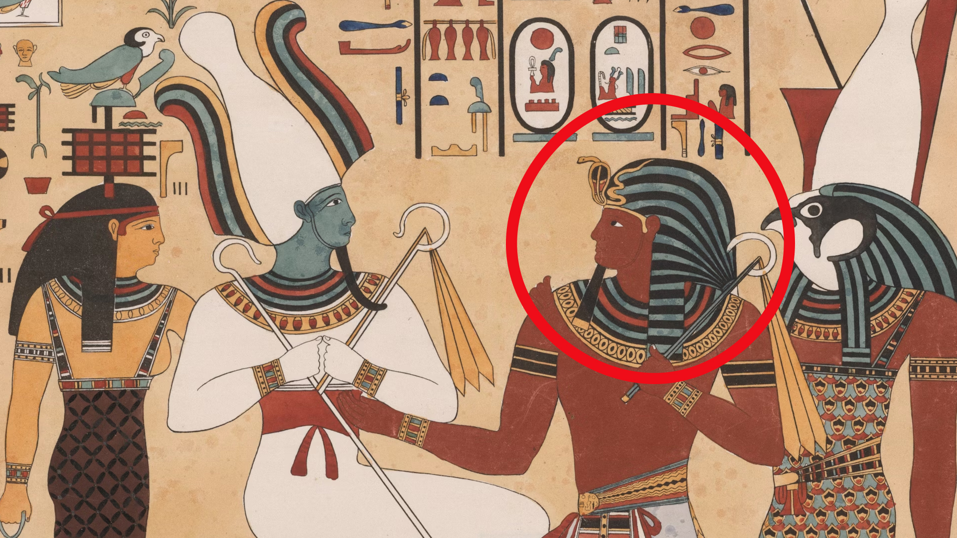
Maps As Time Capsules
Before satellite images and step-by-step directions in the palm of your hands, people relied on maps that were equal parts guesswork and observation. The oldest maps in the world are snapshots of how early civilizations understood their surroundings. Some are surprisingly accurate, others are more symbolic, but all are windows into a time when travel meant genuine risk. So, here are 20 of the oldest maps in the world—each with its own surprising story.

1. The Babylonian World Map
In the heart of ancient Mesopotamia, a small clay tablet placed Babylon right at the center of everything. Around it, carefully inscribed names of nearby cities and lands gave shape to the known world, while a perfect circular “bitter river” marked the edge of familiar geography.
 Osama Shukir Muhammed Amin FRCP(Glasg) on Wikimedia
2. The Turin Papyrus Map
Under Ramesses IV, Egyptian scribes produced the Turin Papyrus Map as a practical tool for gold-mining expeditions to Nubia. Drawn on papyrus, it clearly marks quarries, mountains, and settlements with impressive accuracy. Plus, its color coding helps distinguish geological features.

3. The Peutinger Table
The Peutinger Table is a long parchment scroll that functioned like a travel guide for the Roman Empire, mapping out an extensive network of roads. Instead of precise geography, it emphasizes connections, showing cities, way stations, and the distances between them.
 Nicolas Bergier. Pour le versement & les modifications ː G.Garitan. on Wikimedia
4. The Kangnido Map
This map was produced in Korea during the early Joseon Dynasty. It brought together geographic knowledge from Chinese, Korean, and Arab sources into one expansive view of the world. Remarkably, Africa and Europe appear with details far beyond what many maps of the time achieved.
 Kim Sahyung, Lee Moo, Lee Hui on Wikimedia
5. The Catalan Atlas
Produced in Majorca by Jewish cartographer Abraham Cresques, the Catalan Atlas merges precise portolan-style sea charts with elaborate cosmological and cultural illustrations. Valued for both its utility and beauty, it also served as an impressive diplomatic gift that carried political weight across continents.

6. The Hereford Mappa Mundi
Displayed in Hereford Cathedral, the Hereford Mappa Mundi is drawn on a single sheet of calfskin and offers a striking example of how medieval Europeans saw their world. For its time, it served as a tool for teaching history and faith as much as for locating places.

7. The Madaba Mosaic Map
Unlike maps drawn on parchment or carved into clay, this one is built directly into the floor of a Byzantine church in Jordan. Crafted from countless tiny colored stones, it accurately positions towns across the Holy Land, with Jerusalem’s streets, gates, and landmarks clearly shown.
 The Eran Laor Collection of the National Libary of Israel on Wikimedia
8. The Psalter Map
The Psalter Map is packed with intricate detail and meaning. Bound into a religious psalter, it places Jerusalem at the center, framing the known world with divine scenes and mythical imagery. Plus, its purpose was not to guide travelers but to teach spiritual lessons, using geography as a backdrop for faith.
 Unknown authorUnknown author on Wikimedia
9. The Ebstorf Map
Once the largest known medieval map, the Ebstorf Map was a massive circular work created in Germany and oriented with east at the top. Besides, Christ’s body is depicted encompassing the entire world, further symbolizing divine authority over all creation.
 Unknown authorUnknown author on Wikimedia
10. The Fra Mauro Map
Created by the Venetian monk-cartographer Fra Mauro, this circular map reverses the usual north-south orientation. It remains one of the most impressive achievements in Renaissance cartography, as it blends careful observation with artistic skill.
 Fra Mauro (W. Fraser) on Wikimedia
11. The Da Ming Hun Yi Tu
The Da Ming Hun Yi Tu brought together geographic knowledge from Chinese, Korean, and Islamic sources into one expansive map. Beyond its practical use, the map served as a statement piece by demonstrating the emperor’s command of knowledge about distant lands.
 Chinese (image enhanced by contributor) on Wikimedia
12. The Gough Map
This is the oldest surviving road map of Great Britain. Drawn on animal skin with colored inks, it highlights major trading and pilgrimage routes that connect the country’s economic and spiritual centers. In short, it bridges the gap between geographic record and functional guide.
 Unknown authorUnknown author on Wikimedia
13. Tovmas Vanandetsi World Map
In 1695, Armenian scholar and cartographer Tovmas Vanandetsi produced a world map that merged geographic precision with astronomical knowledge. Published within a printed atlas, it adopted a Western-style double-hemisphere projection.
 Tovmas Vanandetsi, first uploaded by Beko on Wikimedia
14. Hendrik Hondius Map
Hendrik Hondius II’s world map set a high bar for both artistry and information. It drew on Dutch East India Company discoveries to chart coastlines, including glimpses of Australia. More than a navigational tool, it projected Dutch maritime dominance in the Golden Age of Cartography.
 Henricus Hondius II on Wikimedia
15. Mercator World Map
This map preserved true compass bearings, a breakthrough for long-distance sea travel. Arranged on a rectangular grid, it integrated the latest geographic findings from European exploration in Africa, the Americas, and Asia, cementing its place as one of the most influential tools in maritime history.
 Gerardus Mercator on Wikimedia
16. Albi Mappa Mundi
Dating to the 8th century, the Albi Mappa Mundi is the oldest surviving Western European world map on parchment. Preserved in the Médiathèque Pierre-Amalric in Albi, France, it presents a simple schematic layout of the Mediterranean, Asia, and Africa, with Jerusalem at the center.
 Unknown authorUnknown author on Wikimedia
17. Beatus Mappa Mundi
The Beatus Mappa Mundi became a model for many richly illuminated copies made in monasteries across medieval Spain. The map divides the world into Asia, Europe, and Africa, all encircled by a surrounding ocean.
 Unknown authorUnknown author Konrad Miller on Wikimedia
18. De Virga World Map
Made by Venetian cartographer Albertinus de Virga, the De Virga World Map combined a circular depiction of Europe, Asia, and Africa with an astronomical calendar on the same parchment. Oriented with north at the top—a rarity for the period—it marked key medieval trade routes and ports.

19. Bianco's World Map
Part of a nautical atlas containing ten charts, Bianco’s map merges the classical Ptolemaic structure with information from recent voyages. Drawn on parchment, it shows Europe, Africa, and Asia with notable precision for the early 15th century.

20. Ptolemy’s World Map
Long before the Age of Exploration, this map set the groundwork for how the world could be measured and drawn. It used a coordinate-based grid of latitude and longitude to depict Europe, Africa, and Asia. Today, it remains a foundational achievement in scientific mapmaking.

KEEP ON READING
The Mysterious "Sea People" Who Collapsed Civilization
3,200 years ago, Bronze Age civilization in the Mediterranean suddenly…
By Robbie Woods Mar 18, 2025
The Turning Point: 20 Facts About The Battle of Normandy
Normandy Changed The Game. The Battle of Normandy marked a…
By Chase Wexler Jun 4, 2025
20 Inventors Who Despised Their Creations
Made It… Then Hated It. Inventors often dream big, but…
By Chase Wexler Aug 8, 2025
20 Important Names From World War II You Should Know
Key Players From World War II (For Good or Bad).…
By Cathy Liu Nov 7, 2024
The Musical Prodigy: 10 Fascinating Facts About Mozart & 10…
Secrets Behind the Symphony. Wolfgang Amadeus Mozart remains one of…
By Chase Wexler May 5, 2025
20 Hilarious Slang Terms From The Wild West
Listen Here, You Hoity-Toity Tenderfoot. The American West was filled…
By Maria Cruz Aug 14, 2025