

Truth and Trickery in Maps
Old maps are as human as the hands that have drawn them. They hang in classrooms, stretch across glossy atlases, and glow brightly on our phone screens. Yet maps are never neutral, and while they may seem unchanging, their borders are constantly shifting. Sometimes maps are sly liars, bending coastlines or stretching continents until we believe a distortion is fact. Other times, they’re unflinchingly honest, guiding ships through storms, or families down winding highways. Here are ten ways maps betrayed us and ten ways that they saved us.

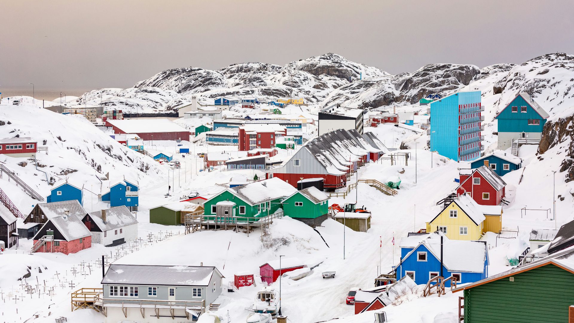
1. Greenland the Giant
The Mercator projection, devised in the 16th century for navigation, ballooned Greenland until it rivaled Africa in scale. In reality, Africa is 14 times larger. For generations, students stared at classroom maps and thought that icy island rivaled whole continents.
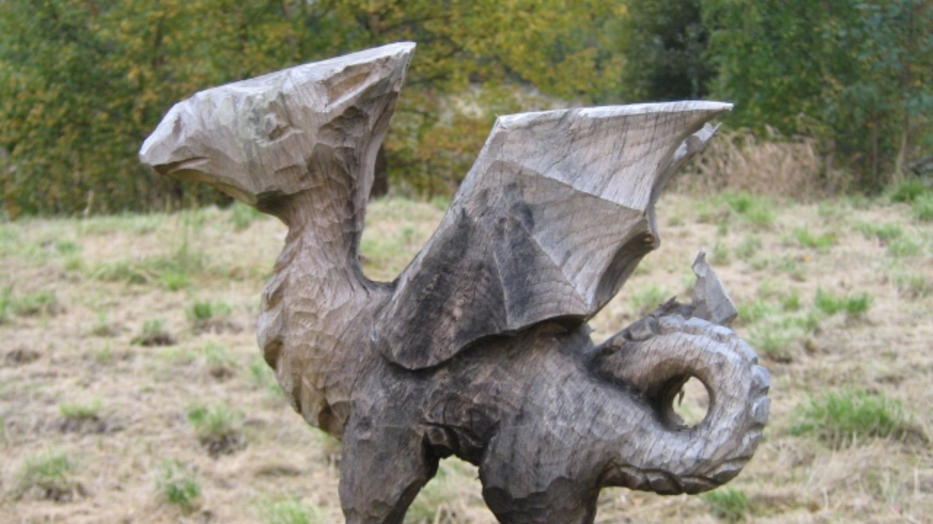
2. The Dragons in Empty Seas
Medieval and Renaissance maps filled unknown spaces with serpents curling out of waves and lions crouched on distant coasts. The expression “Here be dragons” hinted at fearful evil at the edge of the known world. The lie was that danger lived beyond the margins of knowledge.
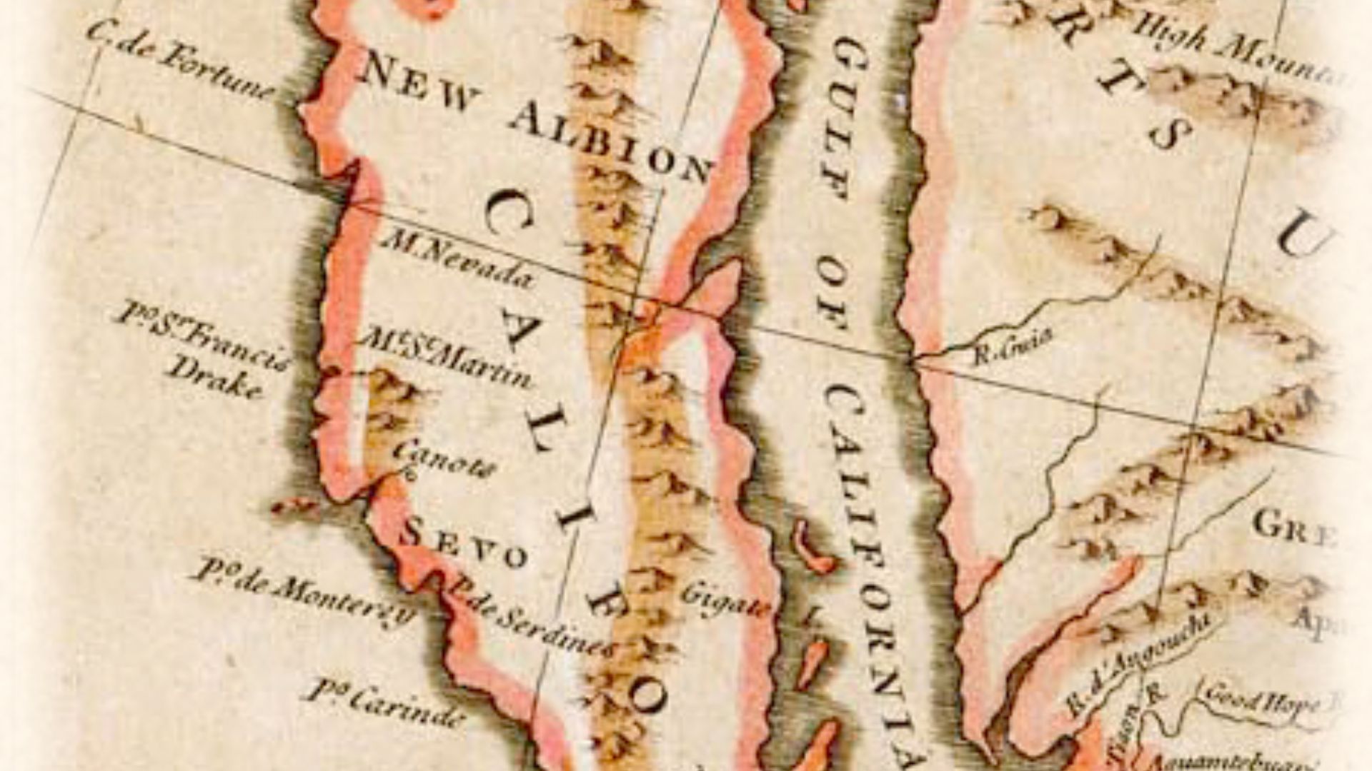
3. California as an Island
From the 17th to the 18th century, countless European maps depicted California as set apart from the mainland. The error came from early Spanish reports, which were copied and recopied without question.
 Centpacrr at English Wikipedia on Wikimedia
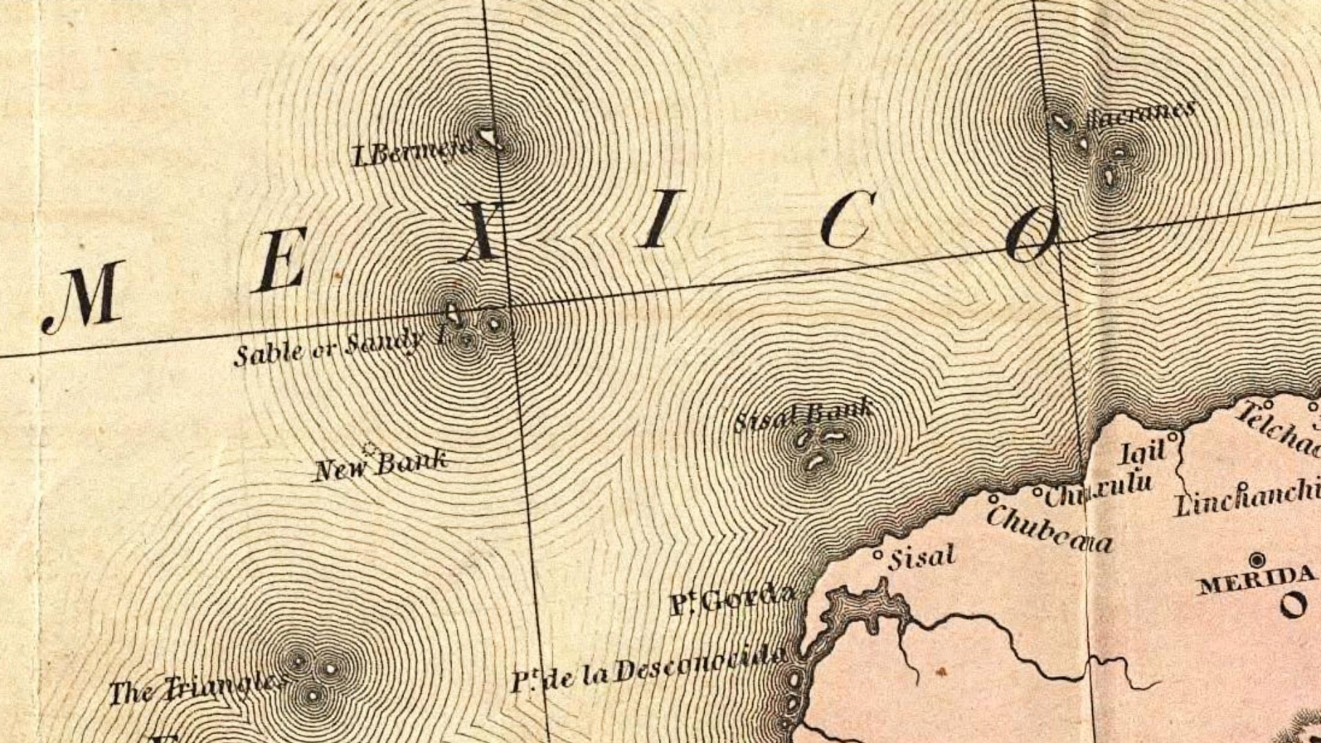
4. The Phantom Island of Bermeja
For centuries, Mexican maps marked a small island called Bermeja in the Gulf, allowing them to stake a claim to the oil within the seabed. When modern oil negotiations demanded proof, surveyors searched and found nothing. Either it sank, eroded, or—the likeliest possibility—it never existed.
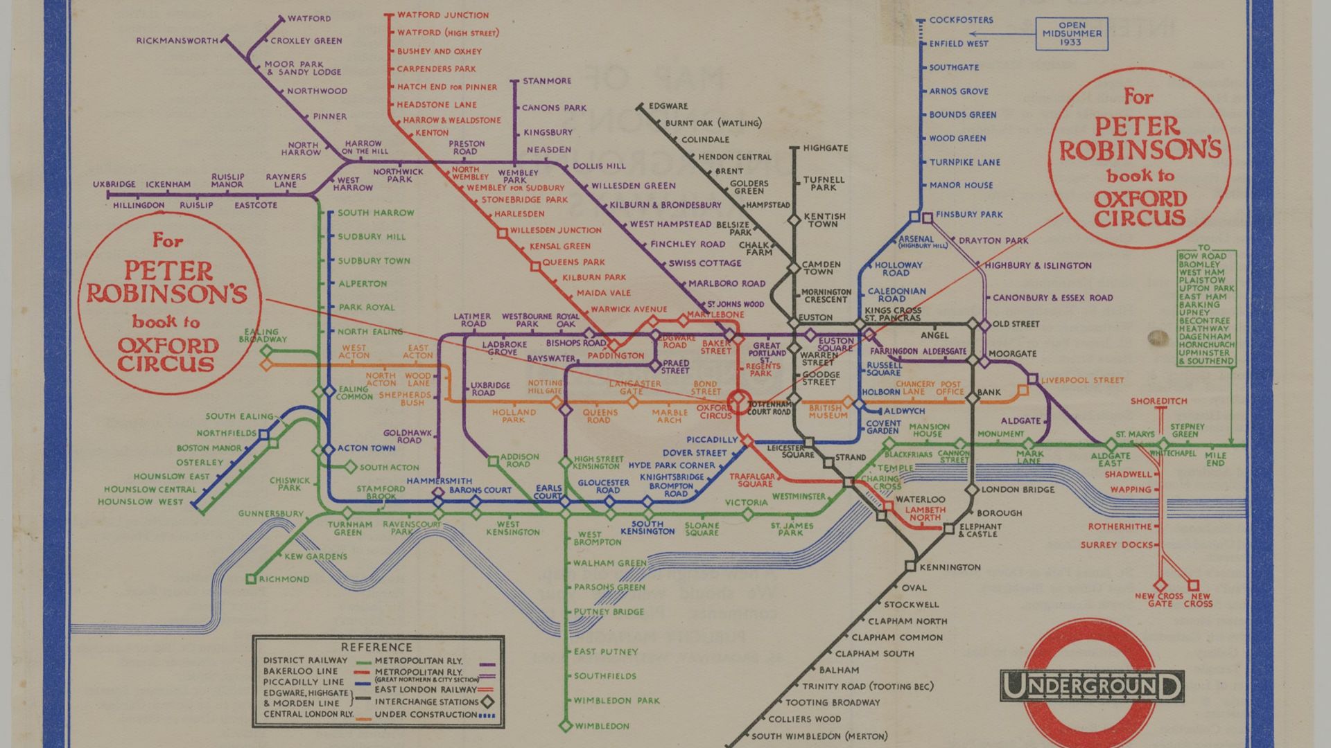
5. Subway Maps That Distort Geography
Harry Beck’s 1933 Underground diagram inspired countless transit maps. It may have been brilliant for navigation, but it was dishonest for geography. Stations that appeared side by side on the map were in reality miles apart on the ground.
6. Straight Borders Across Continents
When dividing up the map, colonial cartographers decided to draw ruler-straight lines through deserts and forests. As Africa and the Middle East were split between colonial powers, entire regions were divided with no regard for tribal territories, languages, or even rivers. The lie was that borders were tidy.
7. North on Top
Western maps insisted north should always be up, but there’s no rule in physics that demands this, especially on a sphere. This orientation made Europe and North America feel superior, looming large from the top of the page while the colonized nations lay below.
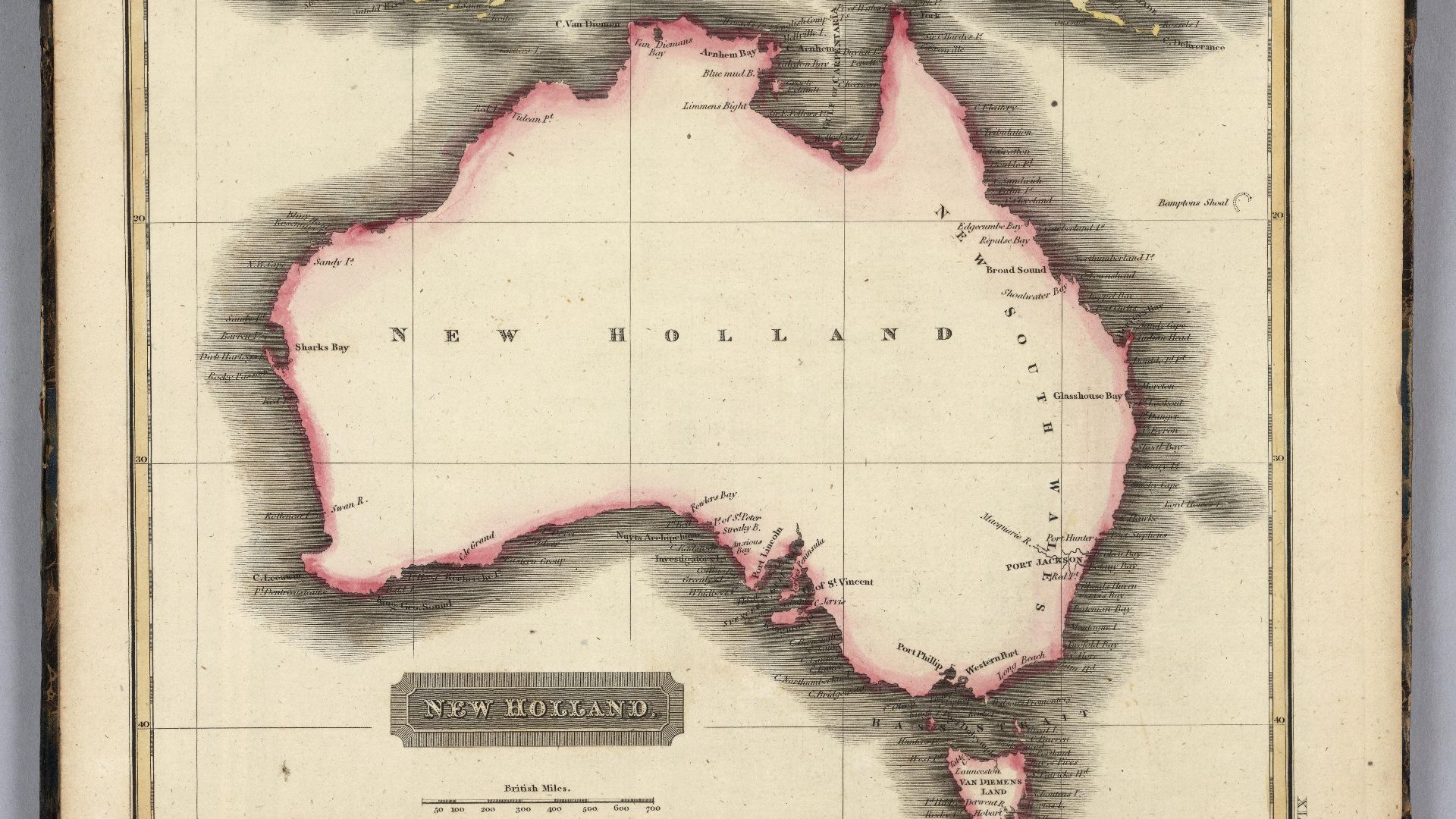
8. Australia’s “Empty” Interior
For much of the 18th and 19th centuries, European maps showed Australia’s center as a blank, barren wasteland. The truth was that it was rich with waterholes, and deserts teeming with life and Aboriginal communities. This lie through omission ignored an entire civilization, one of the world’s oldest.
 Unknown authorUnknown author on Wikimedia
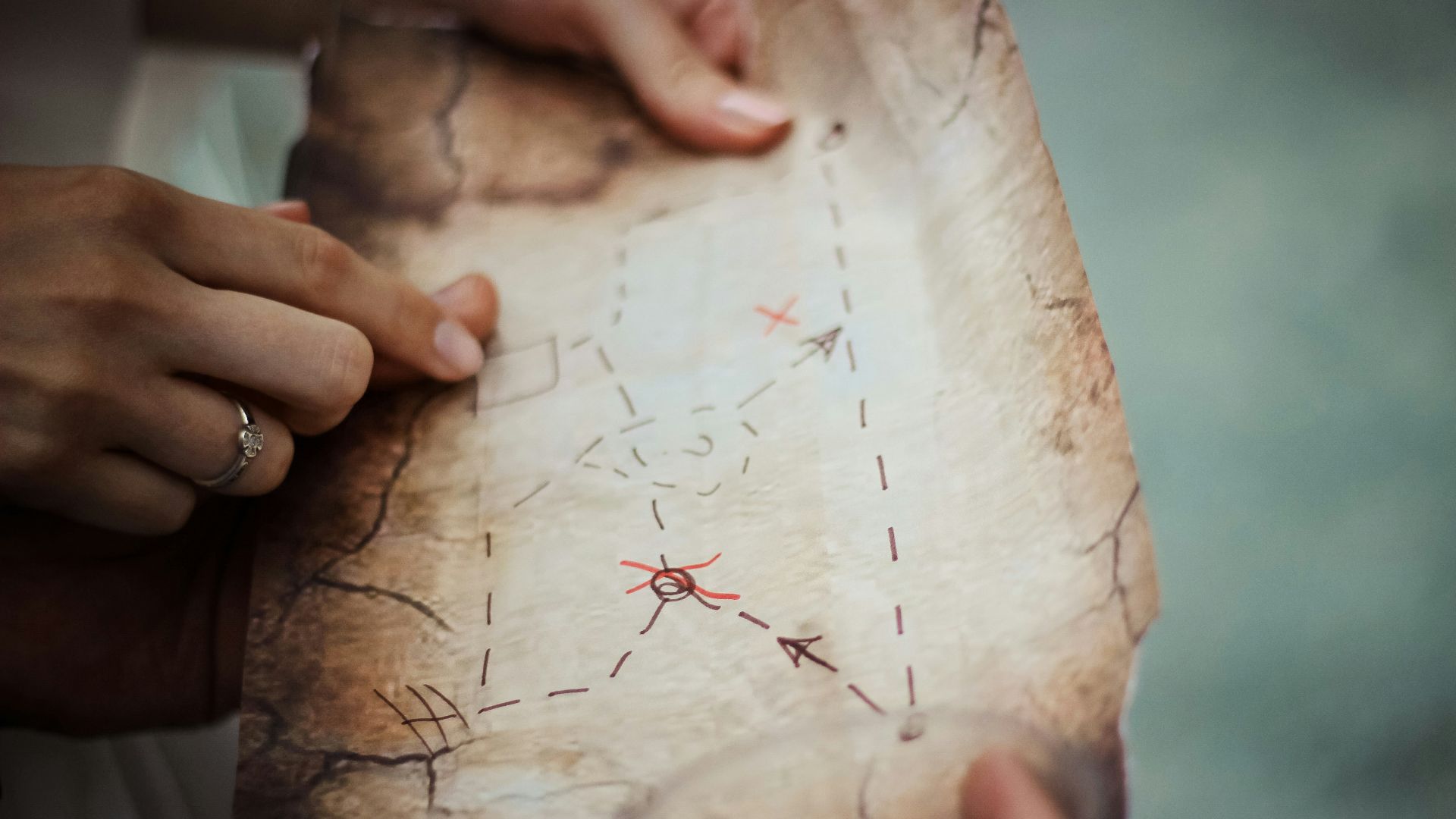
9. Treasure Maps of Fiction
Largely due to Stevenson’s Treasure Island, we came to believe in dotted lines and X marks the spot. The truth is, pirates never used such maps; they were inventions of literature. The lie was so captivating to childhood imaginations that it has persisted across fiction to this day.
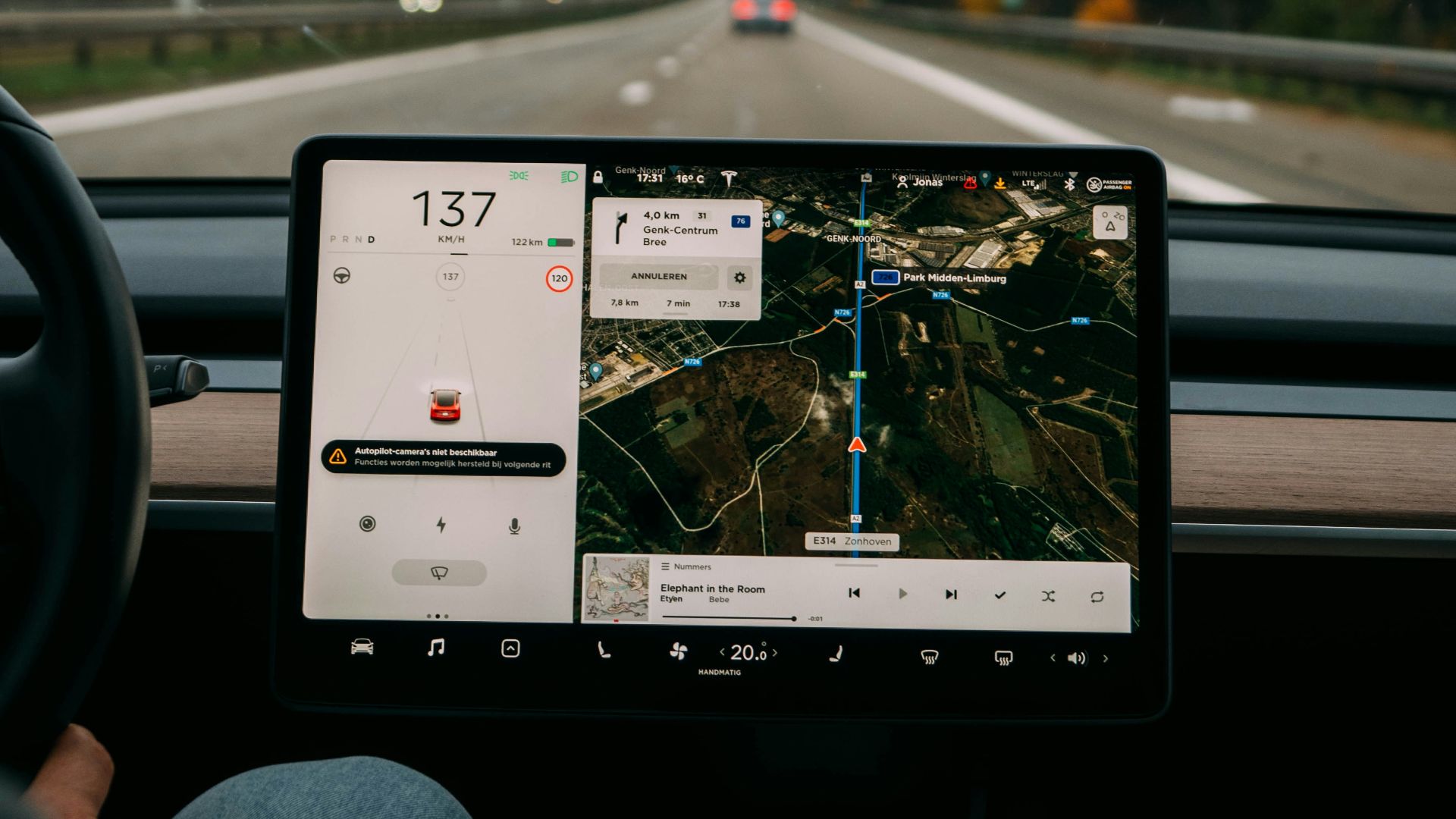
10. GPS Missteps
Even digital maps lie, causing cars to be directed into lakes (just watch episode 1 of season 4 of The Office) and down dead-end roads labeled as highways. The algorithm is constantly working to fill the blank spots on the map, but a little mystery endures.
And now, here are ten times our maps correctly directed our course.
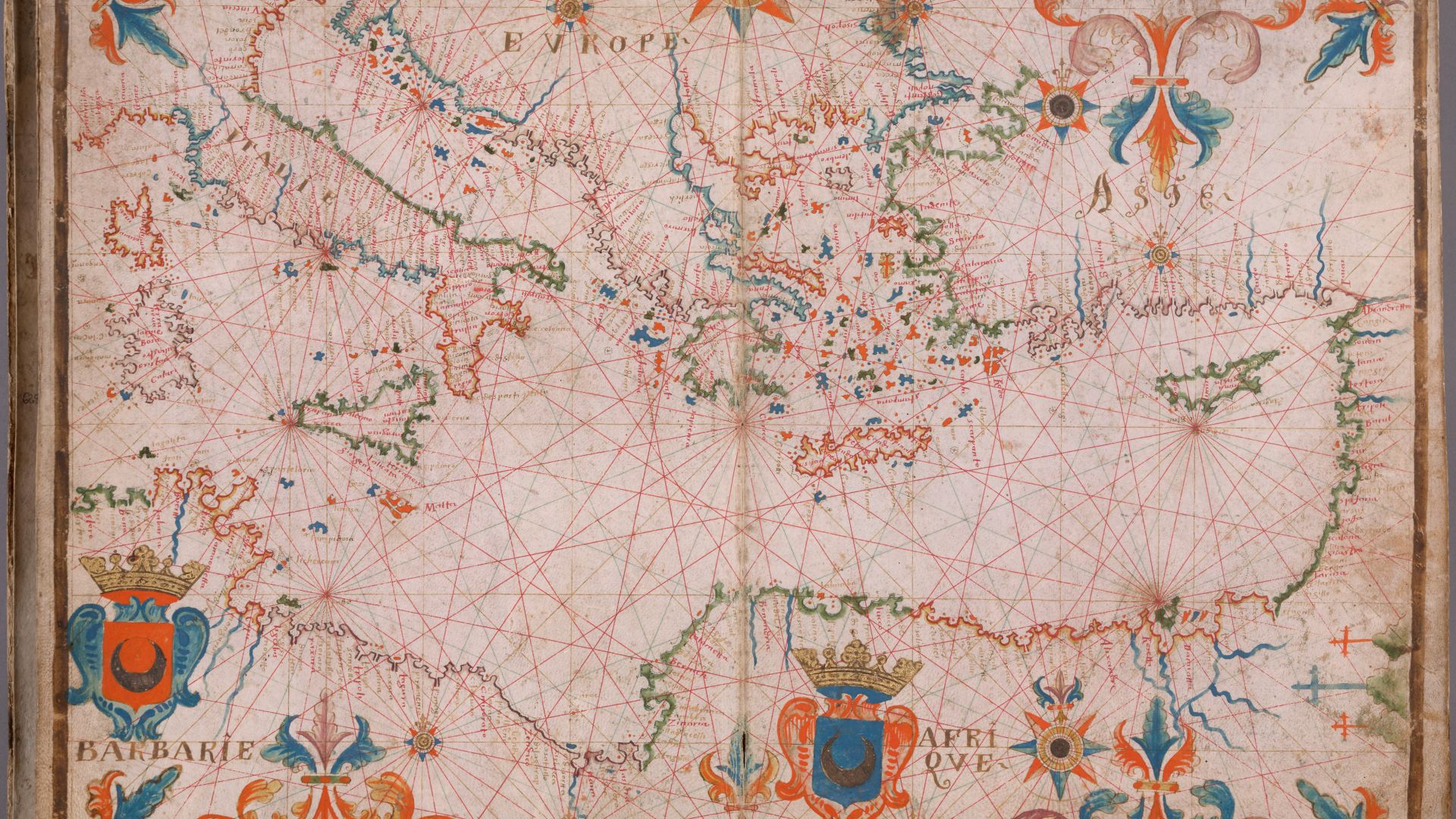
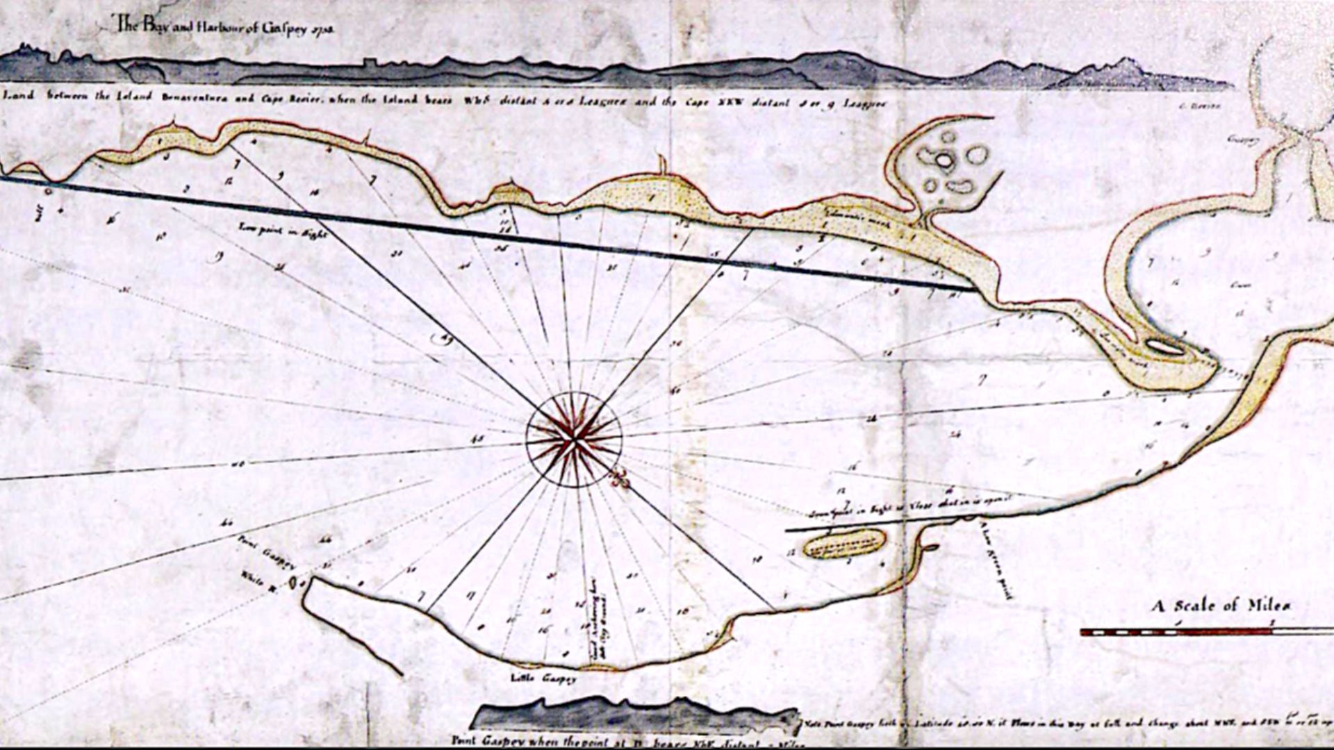
1. Portolan Charts
In the 14th century, when inland Europe was still relatively unknown, sailors carried portolan charts of the Mediterranean. These maps, drawn with radiating compass lines, plotted coastlines with astonishing accuracy. Bays, harbors, and islands were correctly outlined in ink centuries before satellites.
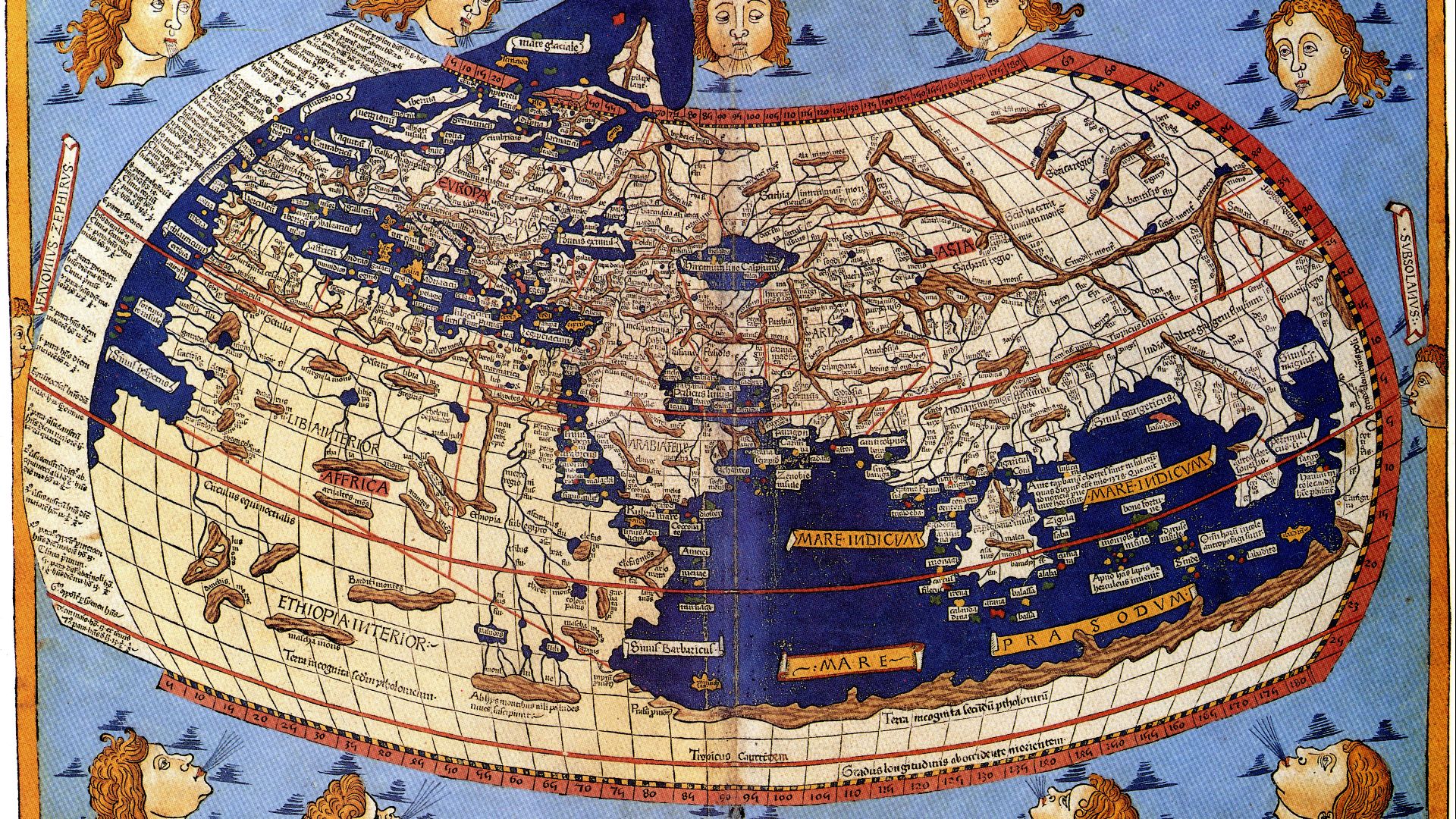
2. Ptolemy’s Coordinates
Claudius Ptolemy’s 2nd-century Geographia wasn’t perfect, but many of the coordinates he calculated still align when adjusted for modern measurements. The idea that Earth’s surface could be mapped mathematically, not just symbolically, was a revelatory truth.
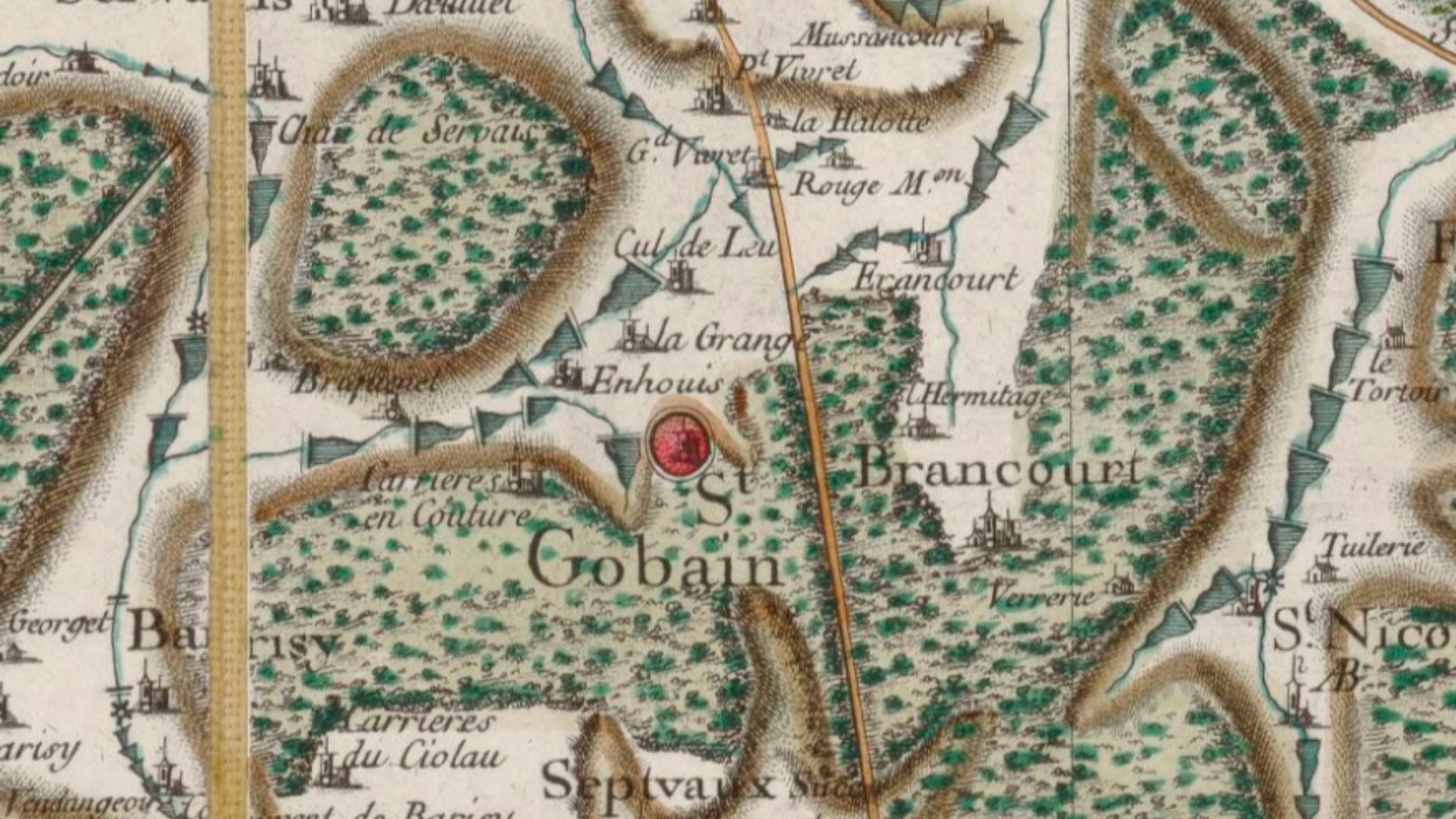
3. The Cassini Family's Survey of France
By the 18th century, France had become the first nation fully mapped through scientific surveying. The Cassini dynasty spent decades producing a grid-accurate chart of towns, rivers, and topography. It replaced folklore with scientific precision and was trusted by farmer and general alike.
 César-François Cassini de Thury on Wikimedia
4. The London Underground
Harry Beck’s map may have exaggerated distances, but it told the truth about what mattered: connections. If two colored lines crossed, you really could transfer. It was an accuracy that commuters needed to rely on at rush hour.

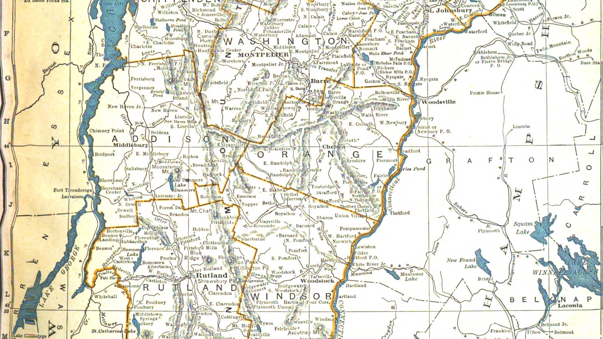
5. American Road Atlases of the 20th Century
Rand McNally’s spiral atlases once filled glove compartments across America. Highways, mile markers, and service stations were all routinely updated. Families trusted them for their cross-country road trips, and the maps faithfully delivered instructions that could be followed.
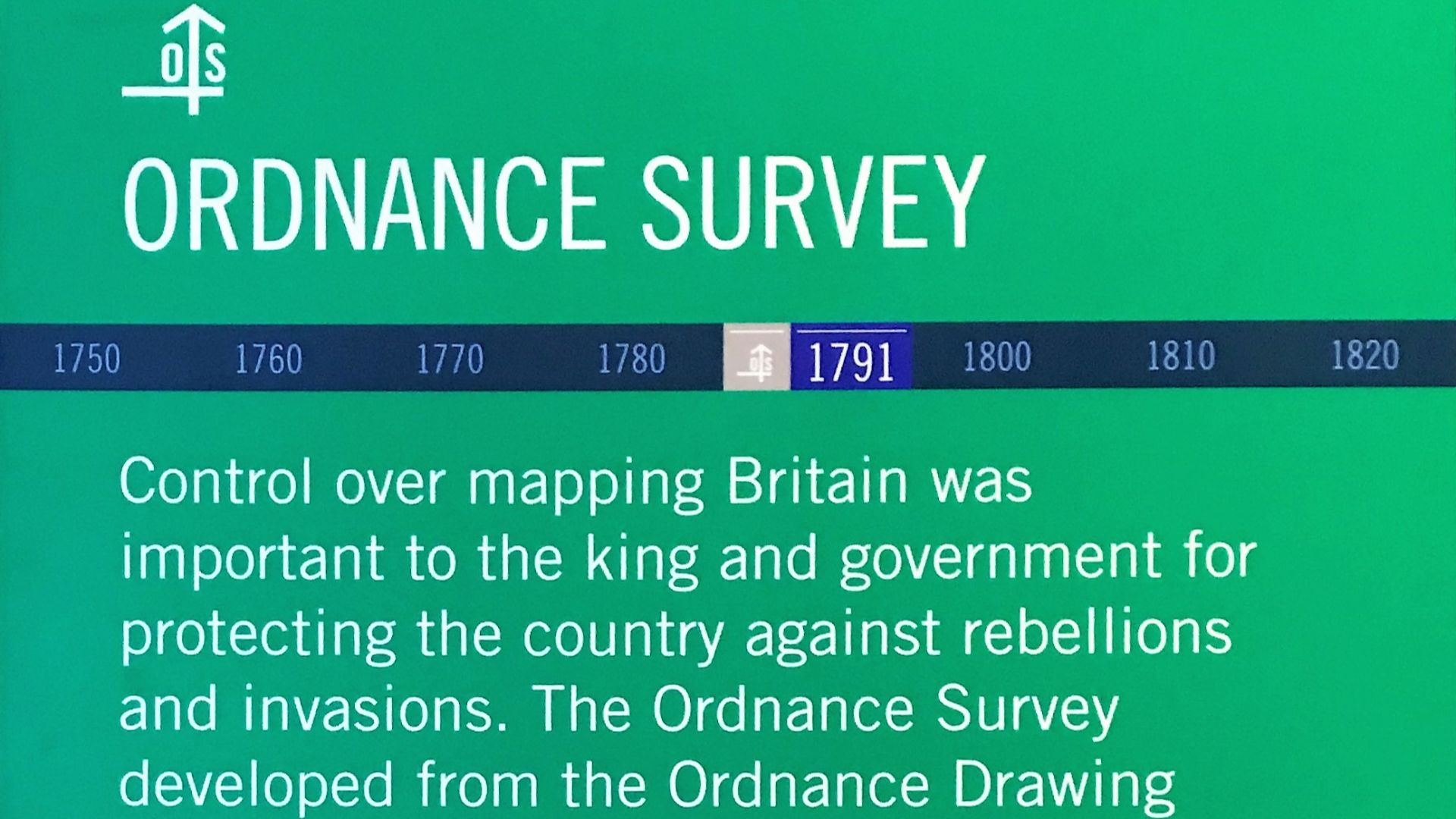
6. The Ordnance Survey
Britain’s Ordnance Survey emerged in the 18th century to guard against invasion and became the most detailed national mapping project in the world. Every hedgerow, field boundary, and parish line was pinpointed with unyielding accuracy.
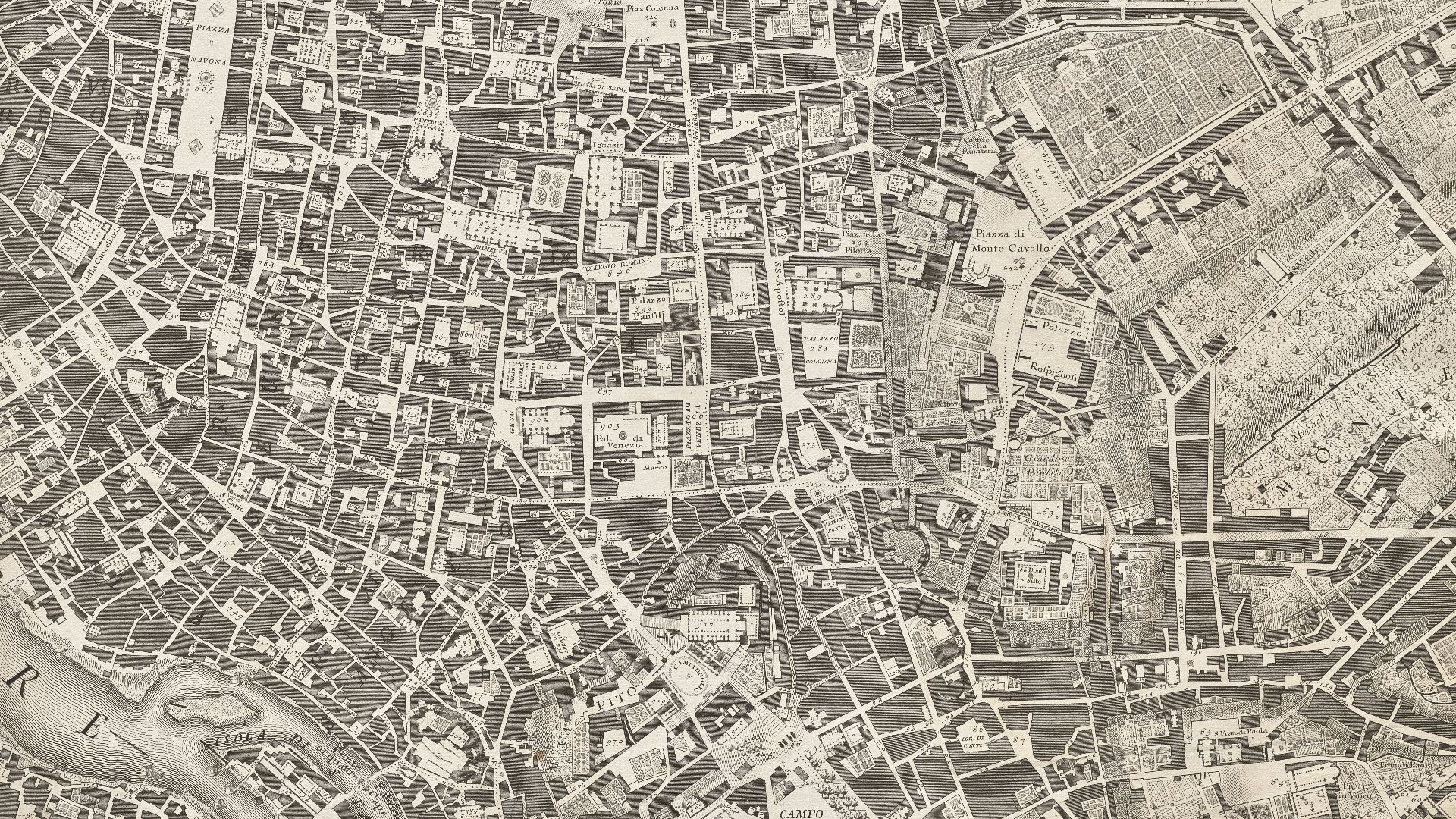
7. Old Town Plans with Crooked Streets
Maps of medieval cities like Prague, Venice, and Boston often look like tangled messes of lines. Because they are. Wander those cities now, and the dead ends appear exactly where the parchment said they would.
 The Cleveland Museum of Art on Unsplash
8. Cook’s Charts of the Pacific
James Cook’s 18th-century expeditions transformed Pacific maps from guesswork to a charted reality. His charts of New Zealand, Australia’s east coast, and countless islands proved reliable to later navigators.
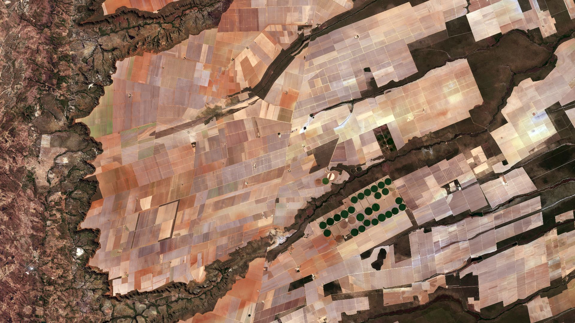
9. Satellite Photos
Once weather satellites launched in the 1960s, maps became aerial photographs. Antarctica wasn’t a speculative coastline anymore; it was ice visible from space. Everything from the Amazon jungle’s sprawl to the endless expanse of the Sahara was captured on camera.
 ESA / Copernicus Sentinel-2A on Wikimedia
10. The School Map of Your Own Town
These maps pinned to your classroom wall might have been the first truthful ones most of us saw. We saw the park and the main street, and the route perfectly matched our bike ride home.

KEEP ON READING

From Heroes To Zeroes 20 Historical Figures Whose Heroism Was…
History is full of legends, but not every hero lived…
By Noone Feb 25, 2026
The Clueless Crush: How I Accidentally Invited a Hacker Into…
Fluorescent Lights and First Impressions. My name is Tessa, I'm…
By Ali Hassan Nov 4, 2025
This Infamous Ancient Greek Burned Down An Ancient Wonder Just…
History remembers kings and conquerors, but sometimes, it also remembers…
By David Davidovic Nov 12, 2025
Einstein's Violin Just Sold At An Auction—And It Earned More…
A Visionary's Violin. Wanda von Debschitz-Kunowski on WikimediaWhen you hear…
By Ashley Bast Nov 3, 2025
The Mysterious "Sea People" Who Collapsed Civilization
3,200 years ago, Bronze Age civilization in the Mediterranean suddenly…
By Robbie Woods Mar 18, 2025
10 Technological Advances That Saved Lives & 10 That Took…
Innovation Has Always Had Two Sides. Technology has improved human…
By Rob Shapiro May 8, 2026